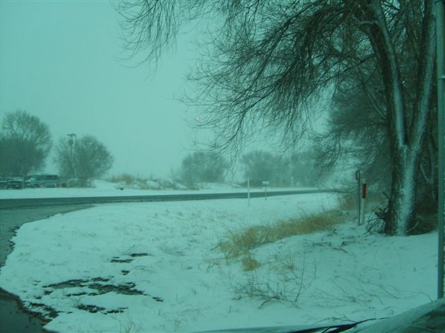
Image of snow taken from Muleshoe on 3 March 2008. Photo by Jack Rennels. For a larger view click on the image.
After a warm day on Sunday, 2 March, where temperatures climbed into the 70s and lower 80s, a strong cold front charged through the South Plains during the late afternoon and early evening hours. This front brought abruptly colder temperatures on stout northerly winds. The winds gusted well above 50 mph at most locations, with several West Texas Mesonet sites recording winds near or above 60 mph. The strongest wind gust recorded was 62 mph near White River Lake. These strong northerly winds continued through the overnight hours and much of the day Monday, 3 March, before finally subsiding early that evening. A plot of the strongest wind gusts during this period can be found below.

In addition to the much colder temperatures and strong winds, precipitation developed as a potent upper level storm approached from the northwest. The precipitation first developed over eastern New Mexico, the southwest Texas Panhandle, and the western South Plains Sunday night. Initially, the precipitation was in the form of rain, but it quickly changed over to snow as the colder air filtered in. The snow created some slick spots on roadway, and combined with the strong winds, resulted in areas of near whiteout conditions. The heavier snow remained over the western portions of the South Plains and Texas Panhandle through the night before the snow band began shifting eastward early Monday. As the snow band emerged into the central and eastern South Plains, drier air began filtering in from the north, and this reduced the areal coverage and intensity of the snow, greatly limiting accumulations. Still, some locations from the central South Plains eastward into the southern Rolling Plains did experience some brief moderate snow, through impacts were minimal with little in the way of accumulations. The snow diminished and the winds finally died down by late Monday afternoon as the storm system moved off to the east of the region. Below is graphic displaying the approximate snow fall recorded during the event.

Map of approximate snowfall (inches) recorded for 2-3 March 2008. The data is courtesy of the National Weather Service Cooperative Observers. Graphic created by Jeff Vitale. Click on the image for a larger view.
 |
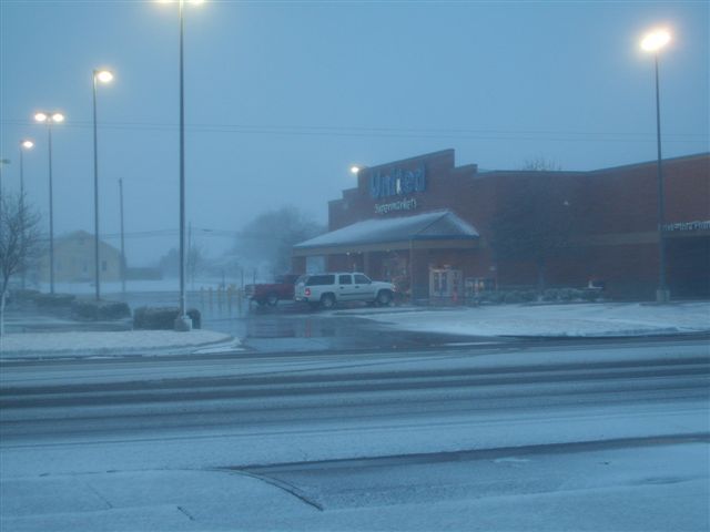 |
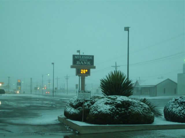
Above are additional images of snow taken from around Muleshoe on 3 March 2008. Photos by Jack Rennels. For a larger view click on the image.
 |
 |
 |
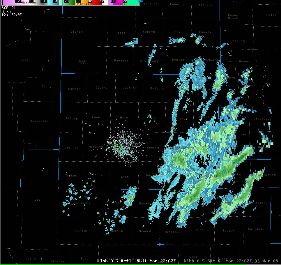 |
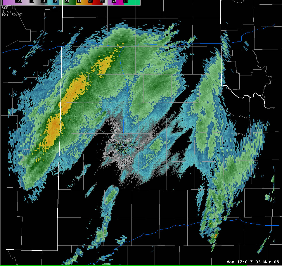
Above are images of the Lubbock radar from 3 March 2008 around 6 am, 10 am, 2 pm and 4 pm, respectively. Note how the well developed snow band decreased in intensity as it moved eastward through the day. Click on the individual images for larger views.


 Follow us on YouTube