|
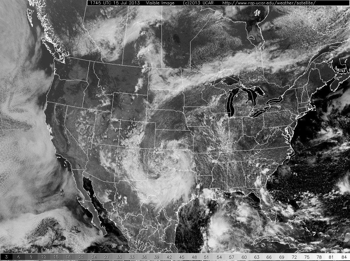
Over the course of five days - from Sunday, July 14th to Thursday, July 18th - a rare westward-moving upper-level storm system slowly moved from Oklahoma, across northwest Texas, and then into New Mexico. This system drew rich moisture from the Gulf of Mexico into West Texas, and produced generous rainfall across most of the South Plains area. Many locations received the most rainfall from one event in several years. Reports of one to three inches of rain were common and a few areas received 4-6+ inches!
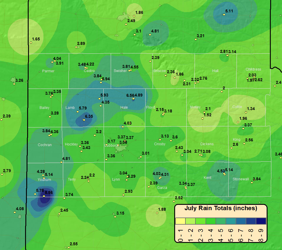
The following two images show rainfall measurements from across the area:
|
|
|
Radar-estimated rainfall across the area with a few selected sites labeled. The scale on this image is too small to read. In general, greens are 1 to 2 inches. Magenta to purple is 2 to 3 inches, blues are 4 to 5 inches, and the yellow core near Plainview is about 6 inches (note that the blue swath in the lower-right is not correct). Lubbock and Childress rainfall reports are from NWS gages at the airports. Other reports are courtesy of the West Texas Mesonet. Click on the image to see a larger version.
|
| |
| Here is a more regional view of the rainfall from the event: |
|


 Follow us on YouTube