 |
 |
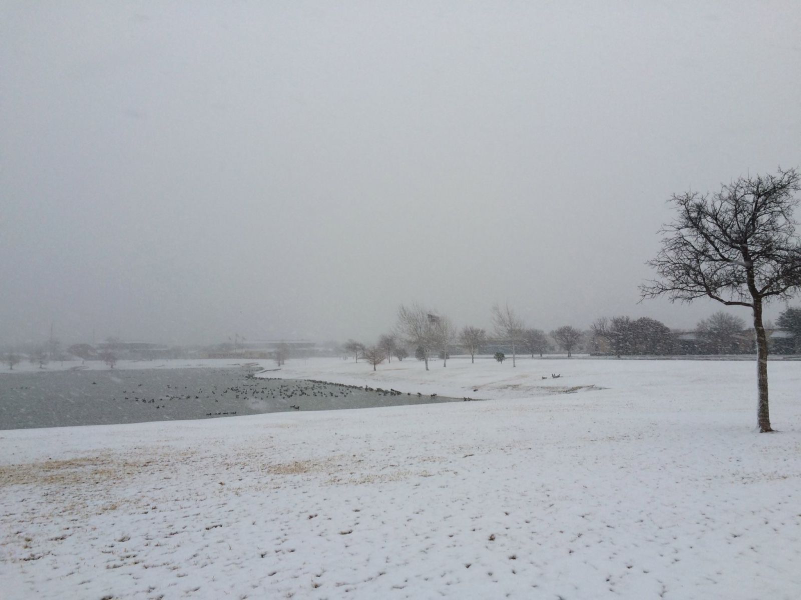
| Snow falling at Henry Huneke Park in south Lubbock on the morning of December 27th |
| |
| After a mild Christmas across the region a cold front and upper-level storm system slid across the region and brought a brief bout of winter weather. As can be seen in the radar loop below, the precipitation was not very widespread. Several bands of moderate snow moved northeast across the southern and central South Plains. Temperatures were not much below freezing, and the snow generally did not cause too much travel problems as most roadways did not get icy. |
| |
 |
| Lubbock WSR-88D radar animation from about 6 am to 9 am on the morning of December 27th, 2014 |
| |
| Portions of the South Plains received the highest snow fall totals. Lubbock was in the path of one of the heavier bands. The images below show some of snowy conditions. |
| |
 |
 |
| Pictures of snow from Whiteface (left) and south Lubbock (right) on December 27th, 2014. |
| |
| The map below shows the snowfall accumulations reported to our office. Much of the South Plains area only received a trace of snow - but in two southwest to northeast oriented bands we saw about one to two inches of snow. |
| |
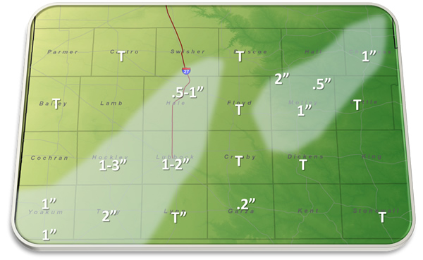 |
| Snowfall totals from Saturday, Decembe 27th, 2014. The reports are courtesy of the NWS COOP observers. |
| |
| The satellite image below shows what the sky looked over the region Saturday morning. |
| |
 |
| Visible satellite image taken at 9 am on Saturday, December 27th, 2014 |
| |
| |


 Follow us on YouTube