|
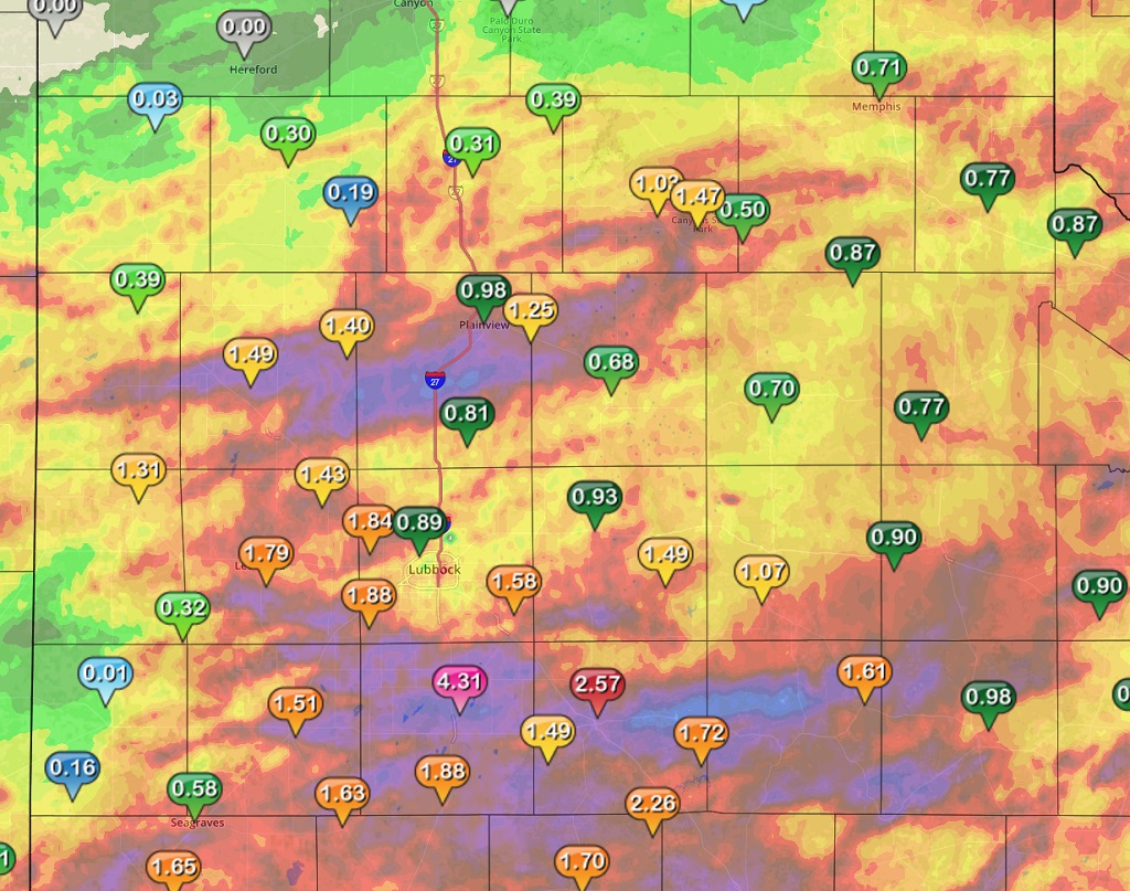
Several rounds of showers and thunderstorms affected the South Plains area of West Texas in mid-September, in what has been a fairly active and wet month for the region thus far. Many areas saw several inches of rainfall. The map below shows the radar estimated amounts and with reports from the West Texas Mesonet. Four to five inches of rain fell across central Lynn County including the town of Tahoka. Heavy rain Thursday night in eastern Hockley and western Lubbock Counties caused quite a bit of street flooding across western portions of the city of Lubbock. |
|
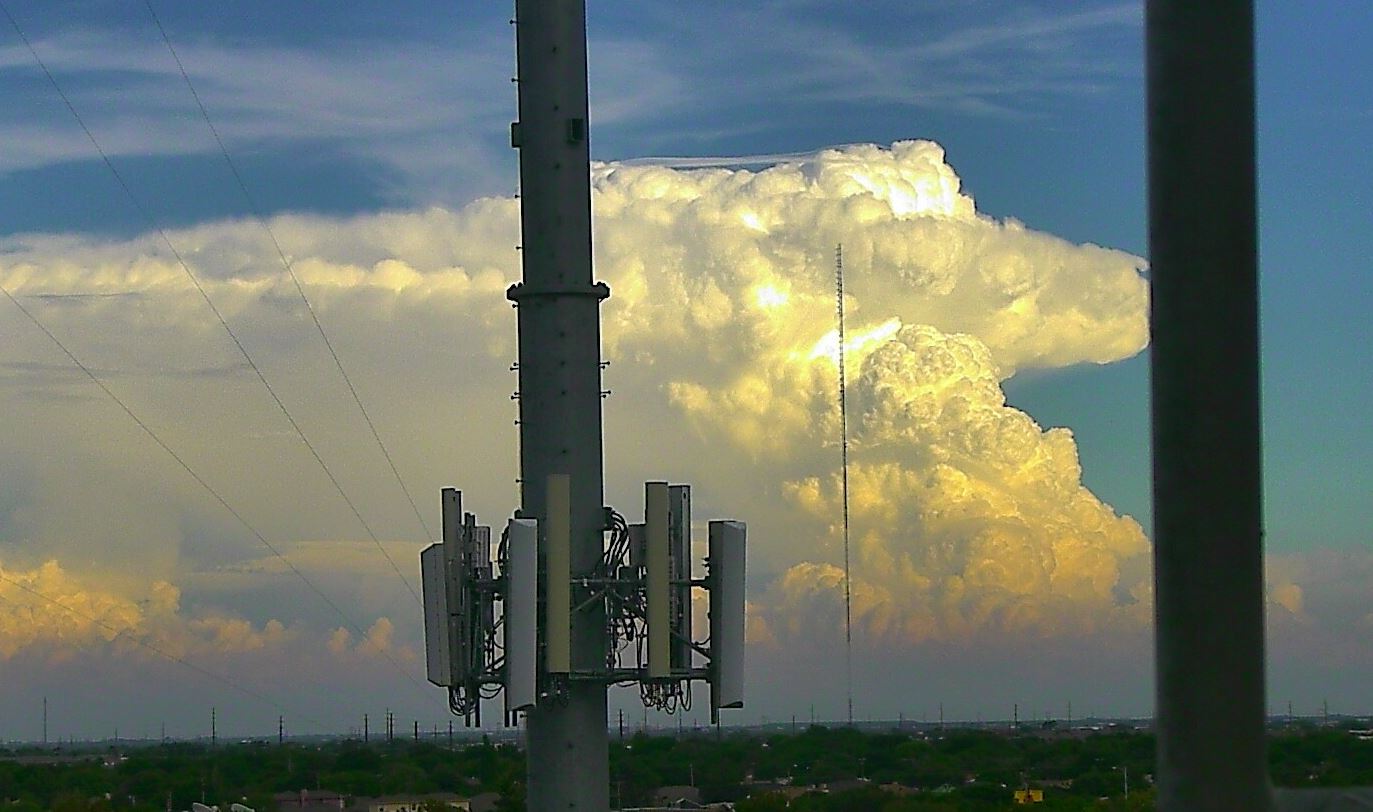
Severe weather was fairly limited. One severe thunderstorm developed Thursday night across Hockley County, and then moved into western Lubbock County, where it weakened. This storm produced severe wind gusts at Anton and hail up to dime size at Reese Center. The storm had a well-defined circulation for a time and spotters reported seeing a wall cloud and possibly a brief funnel cloud. The image below shows the reflectivity product from the Lubbock radar of the severe thunderstorm just east of Levelland Thursday night. |

|
The image below if of the severe thunderstorm at the same time as the image above, but in this case the Doppler storm relative velocity, which shows the well-defined circulation just to the northwest of the town of Smyer. |
 Base storm-relative velocity image from the Lubbock WSR-88D at 10:40 pm on Sept. 15th, 2016 Base storm-relative velocity image from the Lubbock WSR-88D at 10:40 pm on Sept. 15th, 2016 |
After a pretty dry June and July, rainfall has been on the increase recently across much of the South Plains area. The graph below shows the total rainfall at the Lubbock Airport this year, which is catching up to average but still lags by several inches. |

|
In contrast, Childress has received ample rainfall so far in 2016, running above average and not too far below 2015, which was one of the wettest years on record. |

|


 Follow us on YouTube