
A few strong to marginally severe thunderstorms are possible across the Southeast U.S. Friday. A Marginal Risk (Level 1 of 5) outlook has been issued. Strong winds and hail will be the main threats. Elevated to locally critical fire weather conditions will persist across south-central Colorado today due to dry conditions and gusty winds. Read More >
| Today's Weather Impact Levels
(click on specific hazard for details) |
|||||||||||||||||||||||||||||||||||||||||||||||||||||||||||||||||||||||||||||||||
|
|||||||||||||||||||||||||||||||||||||||||||||||||||||||||||||||||||||||||||||||||
| Extreme Temperature Hazard | |||||||||||||||
|
|||||||||||||||
| Temperature Impact Statement |
For additional hazard information, view the full Hazardous Weather Outlook text. During a tropical cyclone situation, view the Hurricane Local Statement for additional hazard details.


 About
About 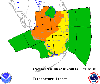
 Follow us on YouTube