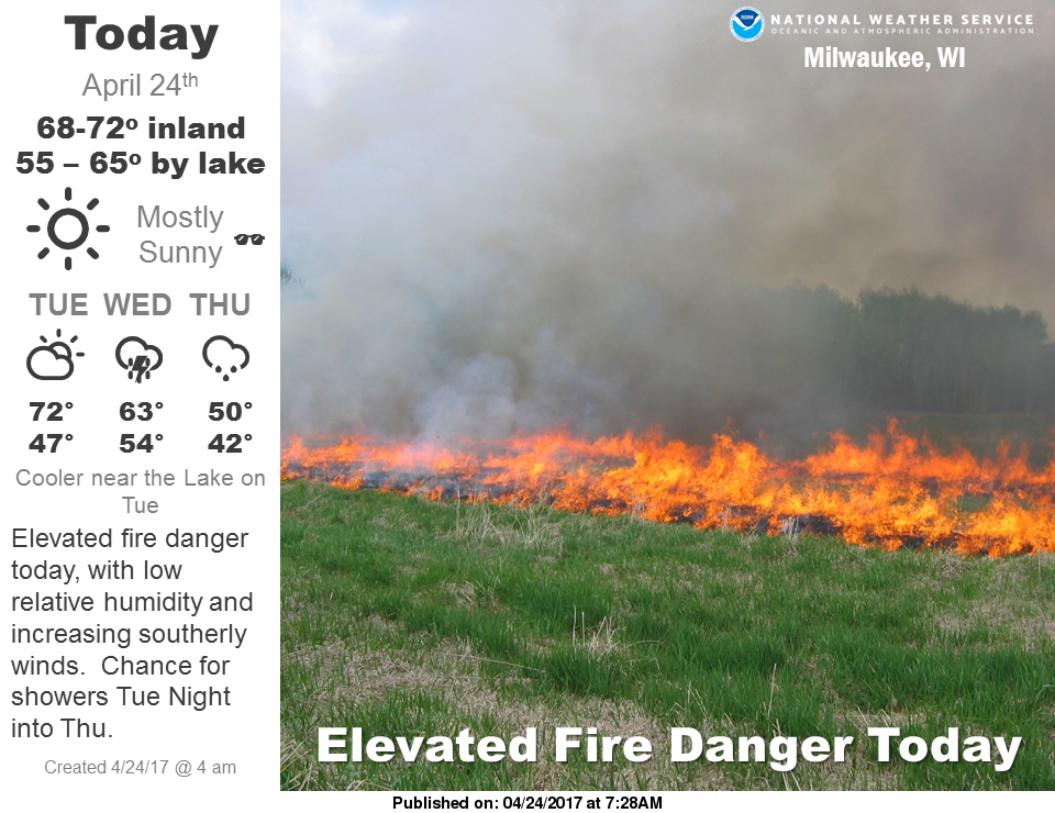
Overview
|
An approaching cold front will bring scattered showers and thunderstorms to southern Wisconsin from late morning through the afternoon. Rainfall will be anywhere from one tenth inch to one half inch. Some locally heavier rainfall is possible. There is also a Marginal Risk of a Severe Thunderstorm, producing strong wind gusts and large hail. The bulk of the showers and storms will end by late afternoon and early evening with cooler conditions settling in for Monday and Tuesday. Herzog/Kavinsky |
 |
Watches, Warnings, and Advisories
 |
Showers and Storms Timing
 |
 |
 |
| Simulated Radar - 2 pm | Simulated Radar - 4 pm | Simulated Radar - 7 pm |
Weather Story
Current Radar
 |
 |
 |
Severe Weather
 |
 |
 |
Media use of NWS Web News Stories is encouraged! Please acknowledge the NWS as the source of any news information accessed from this site. |
|


 Follow us on YouTube