Weak high pressure moving through the region should bring a warm and dry Memorial Day to south central and southeast Wisconsin. Small chances for storms return Monday night, with chances increasing Tuesday into Wednesday, as a warm front and cold front move through the region.
The Storm Prediction Center has included most of Wisconsin in just general thunderstorms for Monday night and Tuesday/Tuesday night, with no severe weather expected.
See the images below for the latest severe weather outlooks into early next week:
| Day 1 Outlook: Rest Of Tonight | Day 2 Outlook: Mon/Mon Night |
 |
 |
| Day 3 Outlook: Tue/Tue Night | Days 4-8 Outlook: Wed-Sun |
 |
 |
Here are the latest radar animations across southern Wisconsin and the region:
| Local Radar | Regional Radar - West View | Regional Radar - East View |
 |
 |
 |
Here is an estimate of the rainfall expected across the region through Friday. At this time, between 1 and 2 inches of beneficial rainfall is forecast for south central and southeast Wisconsin:

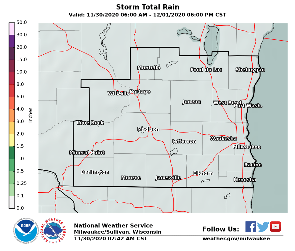
Here are local and statewide looks at expected rainfall amounts through Wednesday:
Of course, total rainfall will vary considerably across the area, depending on where the showers and thunderstorms track.
Kavinsky/Davis/Gehring/Miller/Wood/Schultz
National Weather Service - Milwaukee/Sullivan, WI


 Follow us on YouTube