| Tornado Statistics | ||||||||
| # | Counties | Rating | Time (CST) | Length (miles) | Width (yards) | Fatalities | Injuries | |
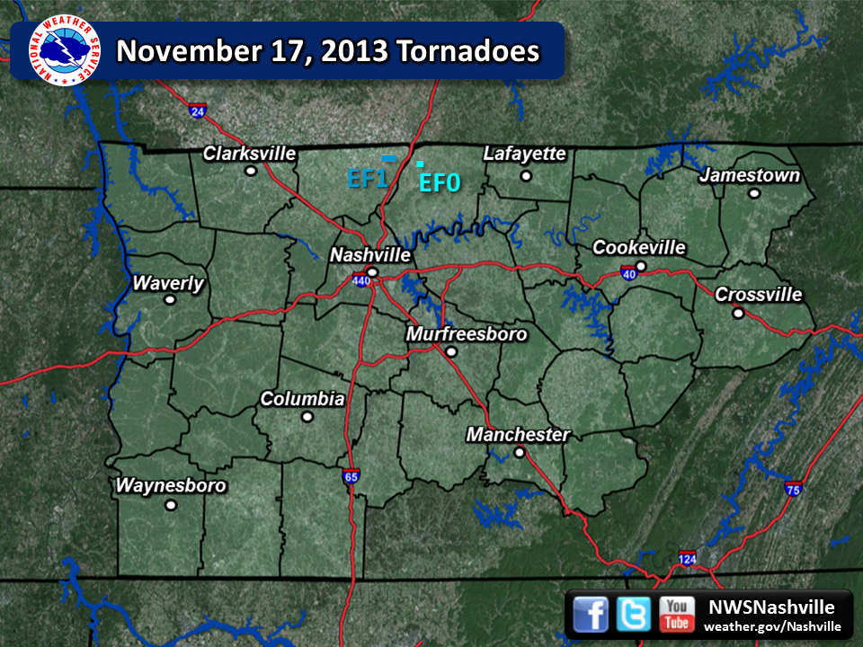
| 1 | Robertson | EF1 | 6:31pm | 1 | 100 | 0 | 0 | |
| 2 | Sumner | EF0 | 6:41pm | 0.5 | 50 | 0 | 0 | |
| Overview | |
| A potent storm system tracked across the Great Lakes region, Lower Ohio Valley region, and into Middle Tennessee late Sunday night. A thin line of strong to severe thunderstorms tracked across northern Middle Tennessee between roughly 5-8pm Sunday night, November 17, 2013. One cell, in particular, tracked across northern Robertson county and into Sumner county. This storm embedded in the line produced one EF-1 tornado near the town of Orlinda in Robertson county, as well as an EF-0 tornado in Portland in northwest Sumner county. Storm survey details are below. |
| Reports & Outlooks | ||
| SPC Storm Reports | SPC Event Archive | Original Tornado Track Map |
| EF1 Orlinda Tornado | |
| Counties: | Robertson |
| Time: | 6:31pm - 6:32pm CST |
| EF Scale: | EF-1 |
| Wind Speed Estimate: | 90 MPH |
| Damage Path Length: | 1 mile |
| Damage Path Width: | 100 yards |
| Fatalities: | 0 |
| Injuries | 0 |
|
Damage: |
|
Photos:     |
|
| EF0 Portland Tornado | |
| Counties: | NW Sumner |
| Time: | 6:41pm - 6:42pm CST |
| EF Scale: | EF-0 |
| Wind Speed Estimate: | 70 MPH |
| Damage Path Length: | 0.5 mile |
| Damage Path Width: | 50 yards |
| Fatalities: | 0 |
| Injuries | 0 |
|
Damage: |
|
Photos:     |
|


 Follow us on YouTube