National Weather Service United States Department of Commerce

Severe Thunderstorms in the Midwest; Mountain Snow in the Northern Rockies

Scattered thunderstorms capable of producing damaging winds, large hail, and a few tornadoes are expected to develop across parts of the Ohio Valley and Lower Great Lakes this afternoon. Pockets of heavy mountain snow will develop over the Northern Rockies Wednesday evening into Thursday morning. Read More >

Click a location below for detailed forecast.

Last Map Update: Wed, Apr. 17, 2024 at 8:41:10 pm CDT
National Weather Service Dodge City, KSNational Weather Service Wichita, KansasNational Weather Service Tulsa, OK
National Weather Service Amarillo, TXZoom
Out

National Weather Service Tulsa, OK
National Weather Service Lubbock, TXNational Weather Service Fort Worth/Dallas, TXNational Weather Service Shreveport, LA

Patchy fog will be possible before sunrise Thursday morning which could reduce visibilities below one mile in some locations. Should any fog develop, it should dissipate a few hours after sunrise as temperatures rise.
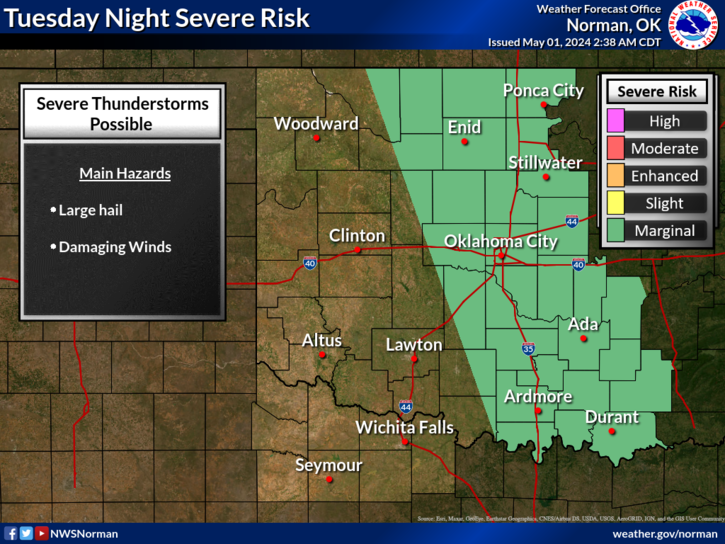
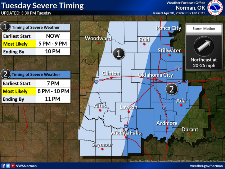
As a strong cold front moves over the region, a few severe thunderstorms appear possible late Thursday afternoon and early evening.

 Current Weather Observations...
Location Time
(CDT)
Weather Vsby.
(SM)
Temp.
(ºF)
Dewpt.
(ºF)
Hum.
(%)
Wind
(mph)
Wind Chill / Heat Index
(ºF)
Pres.
(in)
Oklahoma City, OK19:52Mostly Clear10786462SSE 16-29.84
Norman, OK19:45Clear10806050SSE 17G26-29.83
Stillwater, OK19:53Clear10835538SSE 22G30-29.80
Lawton, OK19:53Clear10816864SSE 13-29.81
Wichita Falls, TX19:52Partly Cloudy10796971SSE 18G25-29.81
Ponca City, OK19:53Clear10825742SSE 16-29.78
Enid, OK08:55Clear10675157E 3-29.92
Alva, OK20:15Clear10824426S 15G23-29.72
Woodward, OK19:50Clear10803519SSE 16G25-29.78
Gage, OK19:53Clear10823820S 23-29.74
Watonga, OK19:55Clear10806357SSE 15G21-29.82
Clinton, OK19:53Clear10774532SSE 14-29.79
Weatherford, OK20:15Clear10796663SSE 15-29.80
Hobart, OK19:53Clear10816049S 15-29.79
Altus, OK19:55Clear10785544SSE 12-29.78
Frederick, OK19:53Clear10826658SSE 16G24-29.77
Ardmore, OK18:50Partly Cloudy10806661SSE 16G24-29.86
Ada, OK20:15Mostly Clear10776873SE 9G17-29.88

Local Weather History For April 17th...
Severe weather and flash flooding affected a small part of western
north Texas, into southwest and central Oklahoma on this date in
2013. At least five weak, short-lived tornadoes occurred from around
Odell and Harrold, Texas, up toward Grandfield and Lawton, Oklahoma.
Minor damage was reported with the tornadoes, but thankfully, no one
was hurt. Numerous reports of damaging wind and hail, along with very
heavy rain were also received across southwest and central Oklahoma.
The largest hail and strongest wind was seen from Snyder and Cache,
to Rush Springs and Chickasha. Significant flash flooding was also
seen around Medicine Park, Meers, Chickasha, and Newcastle, where
four to seven inches of rain fell in a short period of time.

Text Product Selector (Selected product opens in current window)
Weather Observations Area Forecast Discussion Air Quality Forecasts Hydrology Information Frequently Asked Questions Social Media
Observations Discussion Air Quality Hydrology FAQ Social Media
 
Submit a Storm Report Graphical Weather Forecasts Aviation Weather Forecasts Climate Data Storm Data Weather Radio Information
Storm Reports Gridded Forecast Aviation Climate Storm Data Weather Radio  
 
Satellite Information Hourly Weather Forecast Fire Weather Information Past Weather Events StormReady Skywarn/Storm Spotters
Satellite Hourly Forecast Fire Weather Past Events StormReady Storm Spotters