Virtual Tour Navigation: Go Back | Go Forward | Tour Directory
Page: 1 2 3 4 5 6 7 8 9 10 11 12 13 14 15 16 17 18
Before we can analyze any amount of forecast or model data, we need to ensure we have an accurate picture of what is occurring now. A large amount of current weather data comes into our computer system from regional automated weather sensors or other networks. Our staff quality controls the data and watches for any malfunctions in the equipment that would inhibit transmission to our customers. We also produce products that contain a variety of temperature and precipitation measurements.
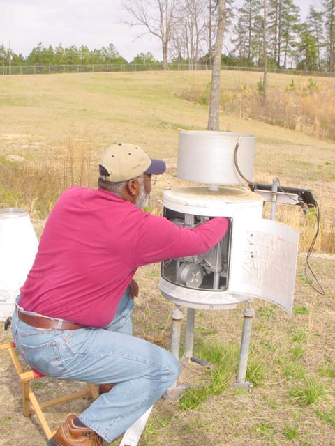
In addition, our staff collects river level data each morning and sends the information to the Southeast River Forecast Center who in turn uses the data to create a model of future river levels. We use the forecast guidance that the Southeast River Forecast Center creates to produce river forecasts for central North Carolina which are produced each morning.
Another activity begins shortly after midnight and late in the afternoon each day, when our staff creates climate data reports for Raleigh-Durham, Greensboro, and Fayetteville. This data is quality controlled then transmitted for use by a wide variety of users including utility companies, the media, climatologists, statisticians, and general weather enthusiasts.


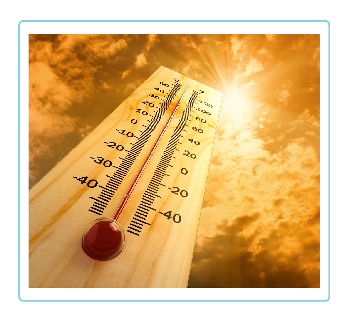 Heat Safety
 Statewide Maps
 Forecaster Discussion
 Follow us on YouTube