
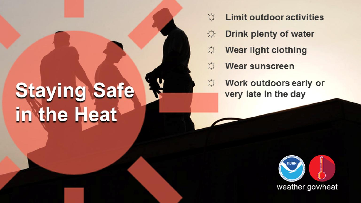
Scattered severe storms capable of large to very large hail, severe wind gusts, and a few tornadoes will be possible across the central Plains this evening. Heavy to excessive rainfall may bring a flooding threat from the Great Lakes to the Mid-South through tonight. Hot, dry and windy conditions will continue to bring a critical fire weather threat from the Southwest into the Great Basin. Read More >
Last Map Update: Mon, Jun 8, 2026 at 9:00:32 pm PDT
|
Text Product Selector (Selected product opens in current window)
|
|


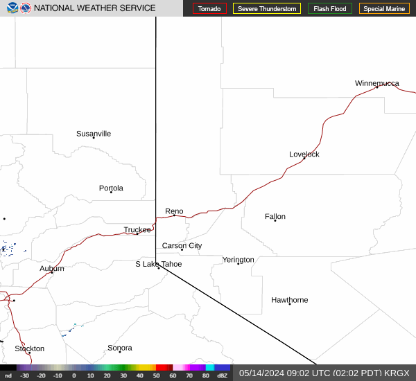 Radar
Radar Satellite
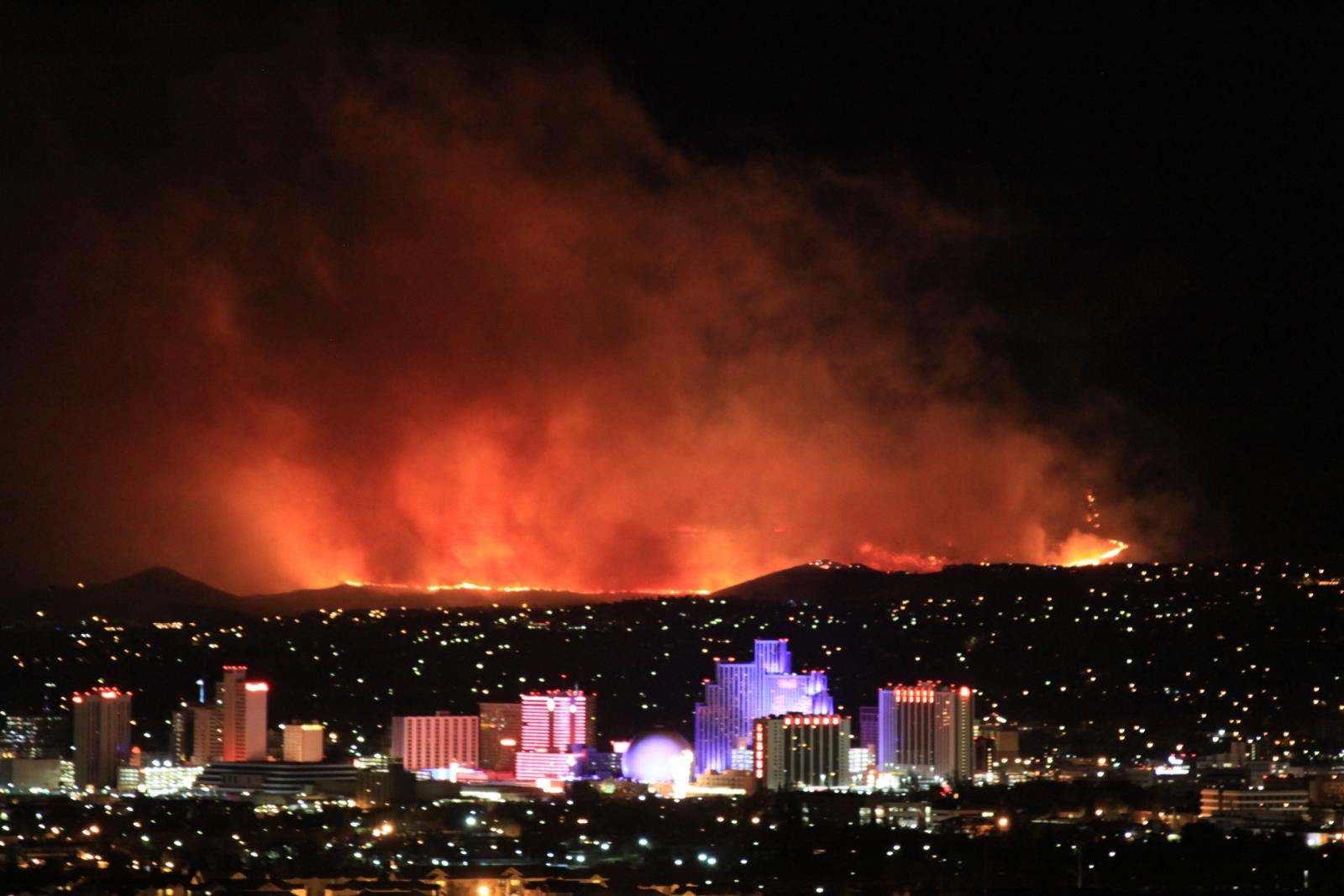 Fire Weather
 Lake Forecasts
 Snow & Avalanche
 Weather Stats
 Mountain Observations & Remote Data
 Forecast Discussion
 Graphical Forecasts
 Forecast Weather Table