
Overview of Cloud and Smoke Forecast for the Eclipse: A band of west to east oriented high cirrus clouds is expected to move south across northern Wyoming this morning, as seen on the experimental simulated satellite forecast images below. This band of high clouds will continue to thin out and dissipate as it moves south this morning, so we are expected mainly some scattered high clouds that will not completely block out the eclipse. The one exception may be some local lee enhancement (wave clouds) on the east side of the Continental Divide, seen in colder red shades east of Dubois on the forecast images. Fortunately, even most of these thin cirrus clouds are expected to stay north of the path of totality through Noon Today. A cold front will bring in some smoke from Montana wildfires across central Wyoming this morning. Very few observations in Montana and northern Wyoming are reporting reductions in visibility due to smoke, so we will likely see some light haze. All in all, not bad for late August in Wyoming! Enjoy the Eclipse and stay safe.
|
|
|
|
|
 |
|
|
Click Image To Enlarge |
Current and Forecast (simulated) Satellite Imagery
 |
 |
|
Latest Visible Image |
Latest Infrared Image |
| Forecast (Simulated) Cloud Cover During the Eclipse (Experimental Imagery) | |
| These images simulate infrared satellite imagery, and indicate cloud temperature,not the opaqueness of the clouds. Colder red colors show higher cloud tops. Observations from Billings early Monday morning showed a broken layer at 24,000 feet as this band passed over southern Montana. These cirrus clouds are expected to continue to thin and dissipate as they move south across Wyoming this morning. | |
 |
 |
|
Forecast Infrared Image at |
Forecast Infrared Image at |
|
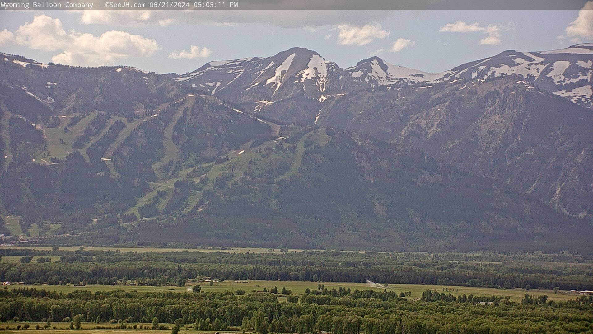
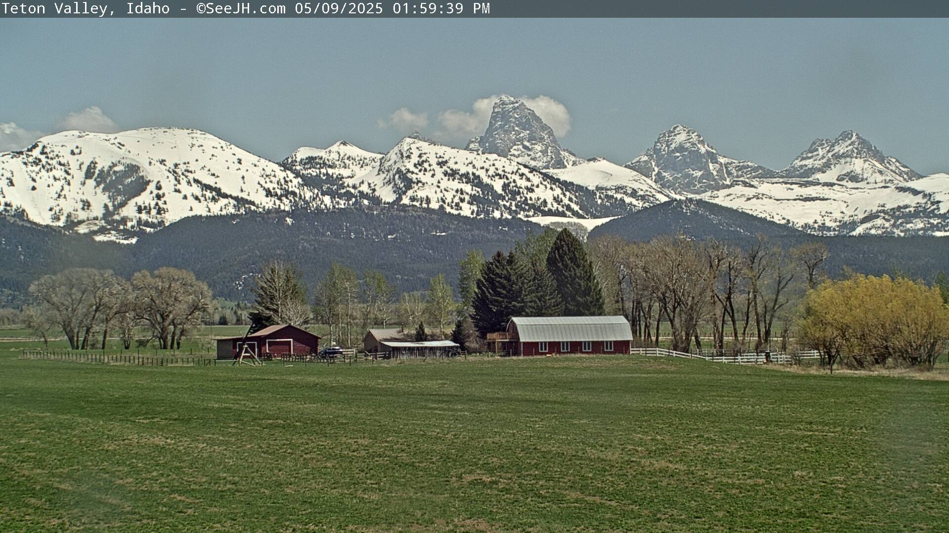
Area Webcams Along the Path of Totality (west to east)
|
|||
|
|
|
|
|
 |
 |
 |
 |
|
|
|
|
|
|
|
 |
 |
 |
|
54.6 mi west of Casper |
David Street Station |
Wyoming Medical Center |
|
 |
 |
 |
|
Area Radars |
|||
|
|
| Tweets by @NWSRiverton | #WyoRoad Tweets |
|
Get the play-by-play on this storm and contribute your own snow reports to #wywx |
On the road? Tweet road conditions to #WyoRoad!
|
 |
Learn more about the National Weather Service's efforts to build a Weather-Ready Nation! |


 Follow us on YouTube