Overview
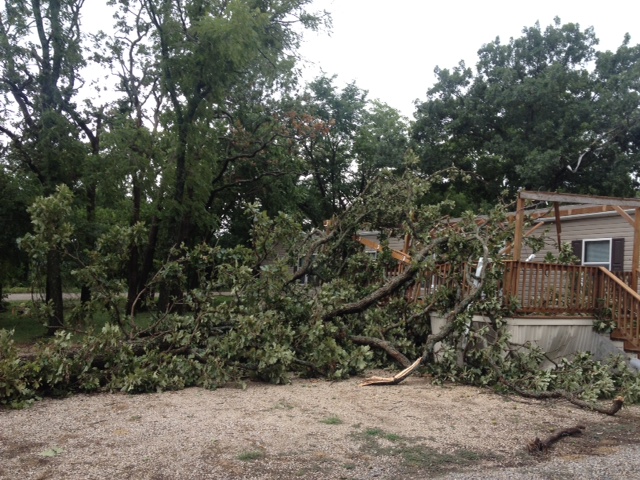
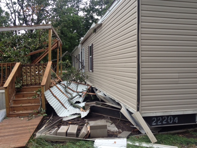
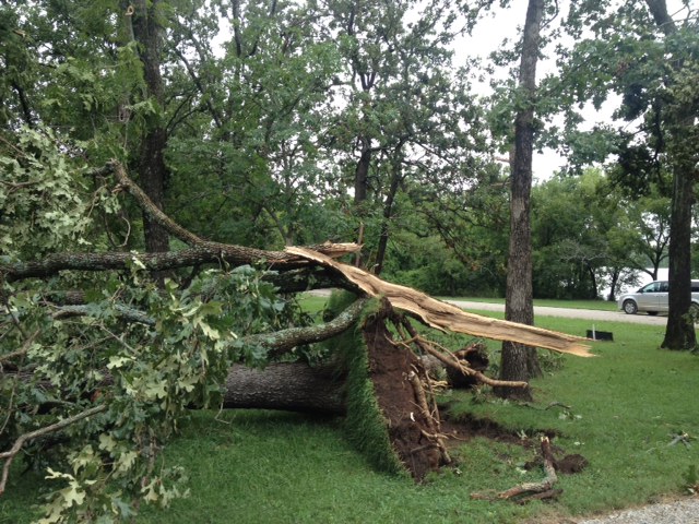
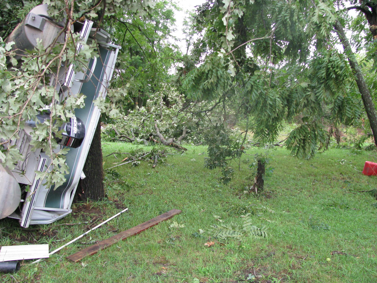
| A large and slow moving complex of showers and thunderstorms moved across portions of southeast Kansas and the Missouri Ozarks Monday evening through early Tuesday. This system produced heavy rainfall and flash flooding. An isolated thunderstorm located near the warm front over Bourbon County produced a brief EF-1 tornado and some damage. | 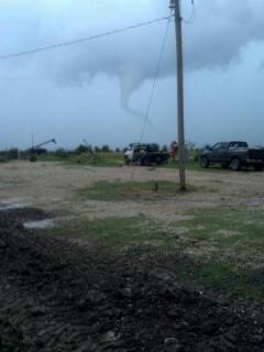 |
Tornadoes:
|
|
||||||||||
|
||||||||||
|
Tornado - Bourbon County, KS
Track Map 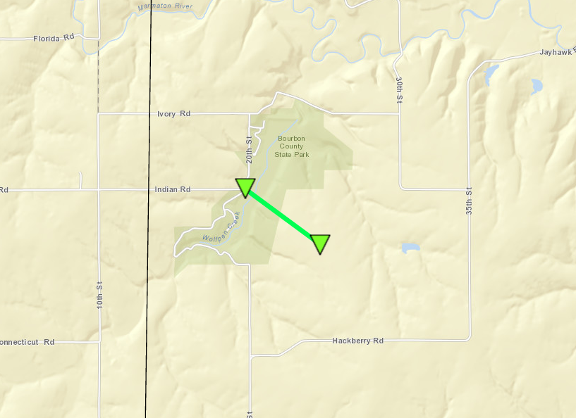 
Downloadable KMZ File |
||||||||||||||||
The Enhanced Fujita (EF) Scale classifies tornadoes into the following categories:
| EF0 Weak 65-85 mph |
EF1 Moderate 86-110 mph |
EF2 Significant 111-135 mph |
EF3 Severe 136-165 mph |
EF4 Extreme 166-200 mph |
EF5 Catastrophic 200+ mph |
 |
|||||
Photos & Video:
Header
 |
 |
 |
 |
Storm Reports
 |
Media use of NWS Web News Stories is encouraged! Please acknowledge the NWS as the source of any news information accessed from this site. |
|


 Weather Story
 Weather Map
 Local Radar
 Follow us on YouTube