|
|
 |
| Overview |
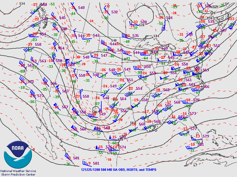 |
| Upper-air map at 500mb from 12z on 12/25 (6am CST) showing the upper level trough moving into West Texas. Map provided by the Storm Prediction Center. |
|
As Christmas Day approached, a large storm system was developing across the Southwest United States. In the image to the right, one can see the intensity of this 500mb trough of low pressure on Christmas Morning as it approached West Texas. In its advance, strong southwesterly flow was helping to pump in plenty of moisture across the Souther United States.
|
| |
|
| At the surface, an area of low pressure was developing across South Central Texas with a warm front extending eastward along I-10. The track of this surface low would ultimately determine the locations that would receive either severe or wintry weather. Areas to the south were primed for severe weather, with dewpoints in the 60s, as well as high instability and wind shear. To the north, much colder air was wrapping around the system. Another feature on the surface map is a strong cold front moving through the area from the northwest. The front helped move colder air in from the north and also helped to concentrate thunderstorm activity as the entire system moved off to the east. |
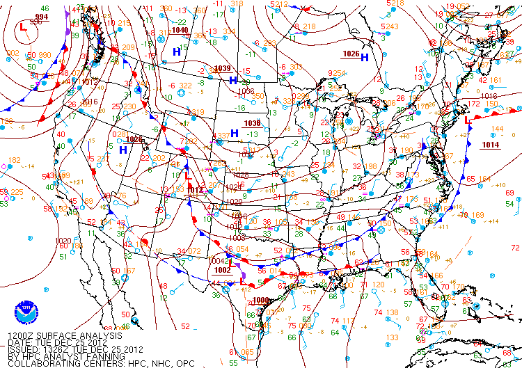 |
| Surface map for the morning of December 25th. It shows the surface low developing in South Texas. Map provided by the Weather Prediction Center. |
|
| |
|
|
|
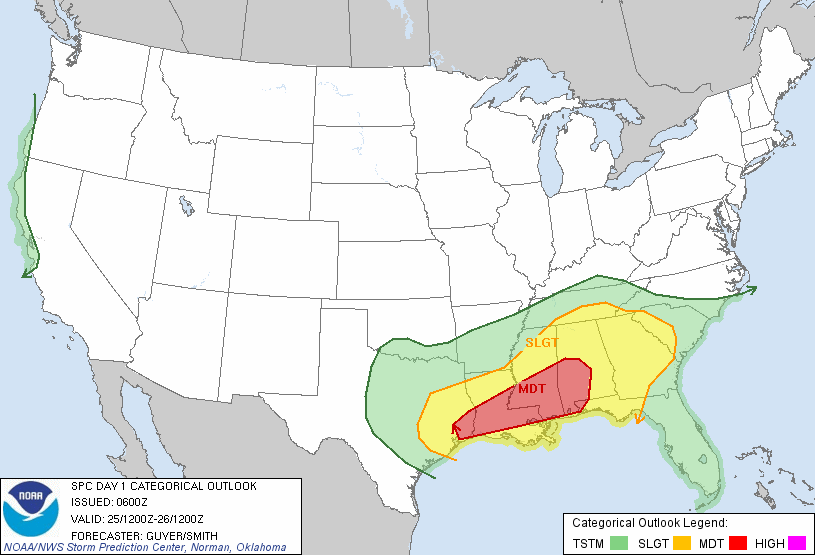
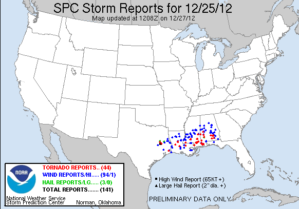
| Severe weather threat (top) and storm reports (bottom) for Christmas Day, 12/25/2012. Maps courtesy of the Storm Prediction Center. |
|
Much of the Southern and Southeastern United States was under a threat for severe weather. A Moderate Risk for severe weather extended from Houston, TX, eastward to Jackson, MS, and to Mobile and Birmingham, AL. As the day progressed, a few instances of severe weather were noted in the NWS Shreveport County Warning Area, but the majority of the severe weather reports were farther east. |
| |
|
| Rain was one welcome aspect of this storm system, with most of the area seeing between one half and two inches. Some locations received in excess of three or four inches of rain. Fortunately, no flash flooding was reported to the NWS Shreveport office. |
|
| |
|
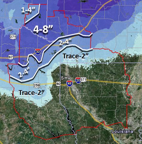 |
| Snowfall amounts from across the NWS Shreveport County Warning Area. |
|
A heavier band of snow developed across portions of extreme Northeast Texas, Southeast Oklahoma, and Southwest Arkansas. These areas from De Kalb, TX, to south of Idabel, OK, northeastward to Nashville, AR, experienced 7 to 8 inches of snow, which were the highest toals from this event for the forecast area. |
| Back to Top |
| |
| Photos |
|
The photos below were taken by members of the public and NWS Shreveport Cooperative Weather Observers. To learn more about the Cooperative Weather Observer Program, click here.
|
 |
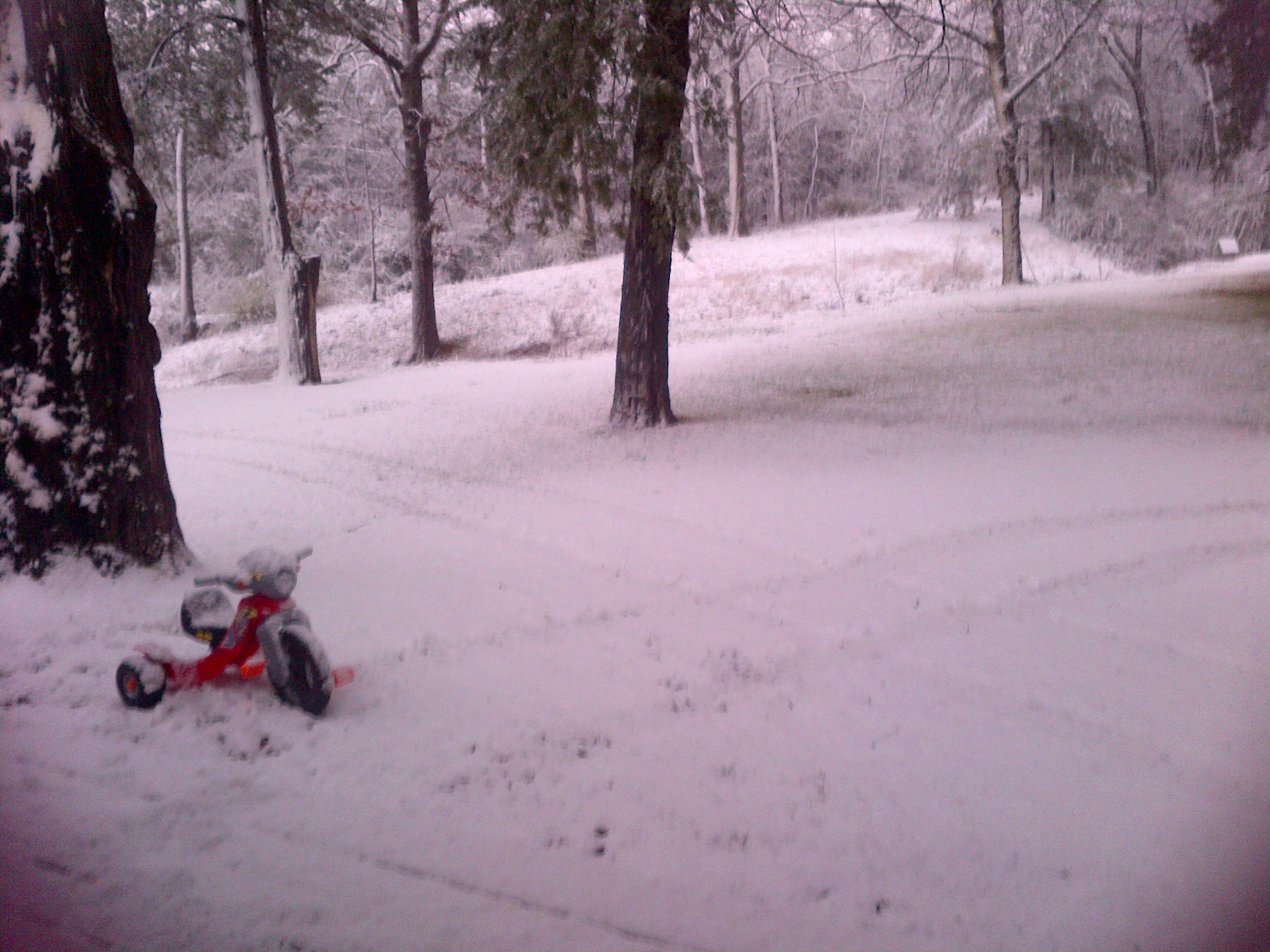
| Morning snowfall of approximately 6 inches in Idabel, OK |
|
|
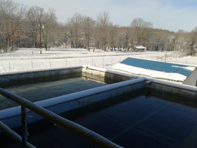 |
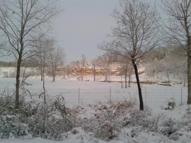
| Water plant covered in a layer of snow in Idabel, OK. |
|
|
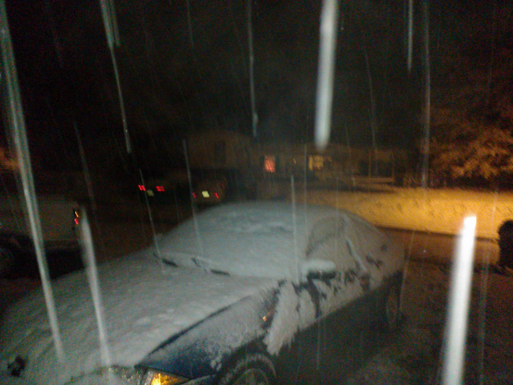 |
Snow falling in Lone Star, TX, on Christmas Night.
|
|
|
| |
 |
| Morning snow cover in Chapel, Hill, TX. |
|
|
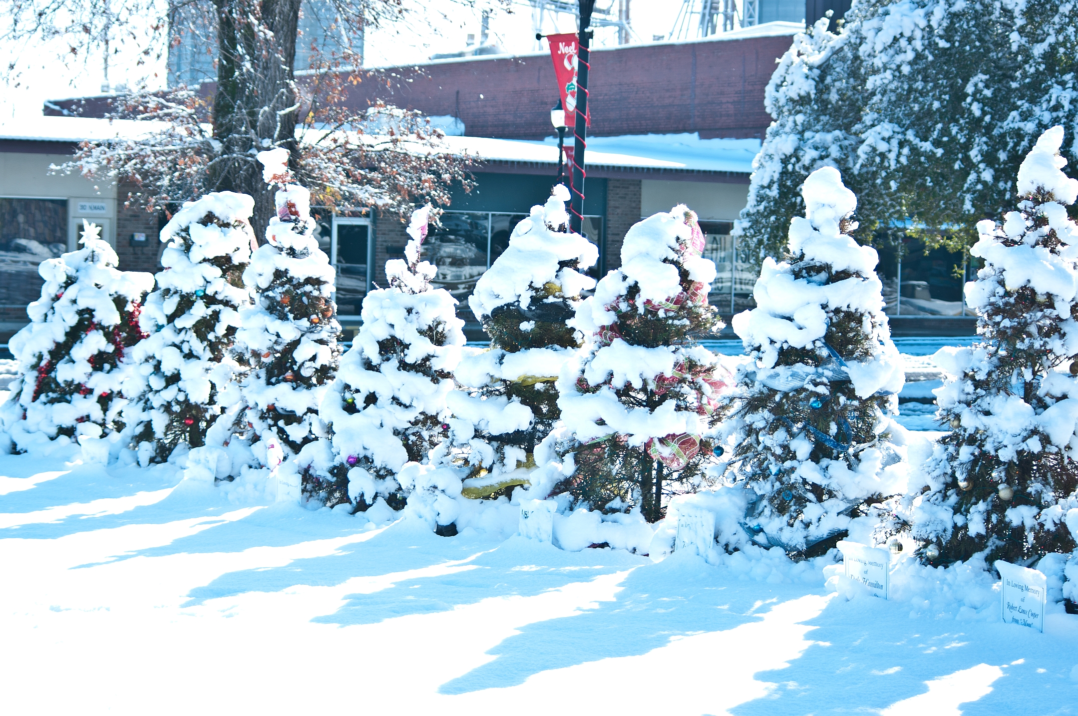 |
| Christmas trees covered in snow at the Chamber of Commerce in Nashville, AR. |
|
|
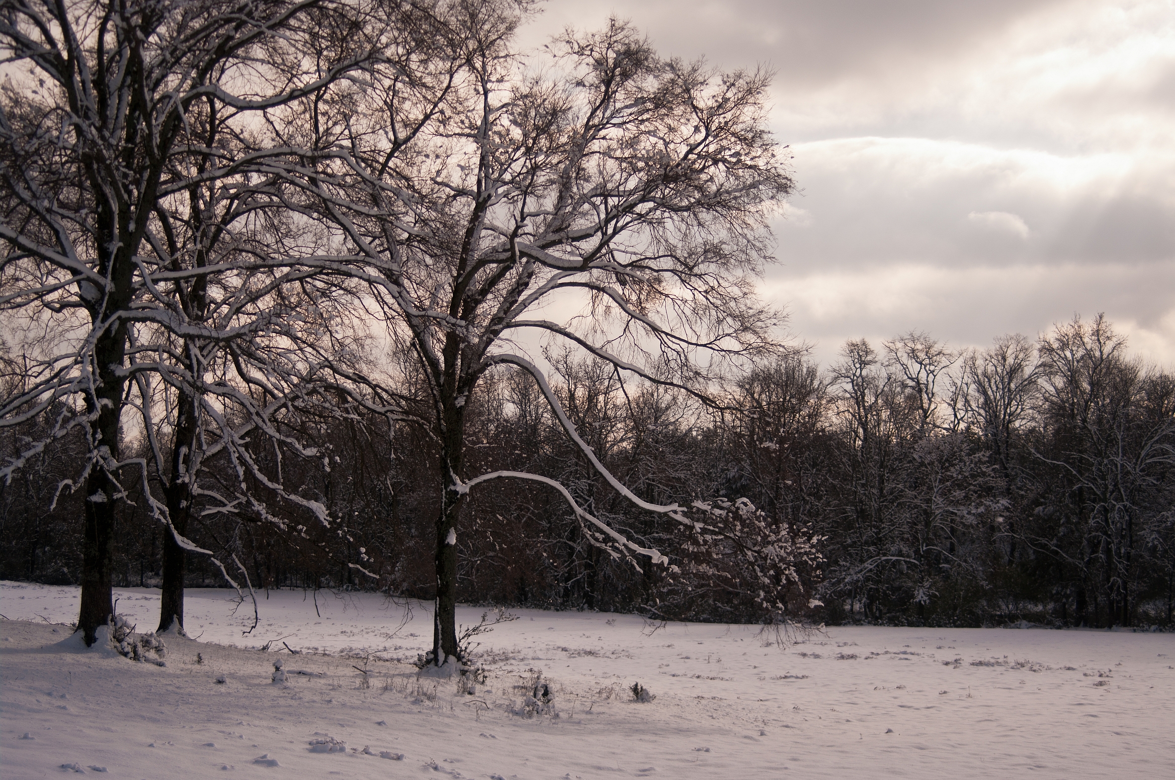 |
| Field and trees covered in snow the day after Christmas in Nashville, AR. |
|
|
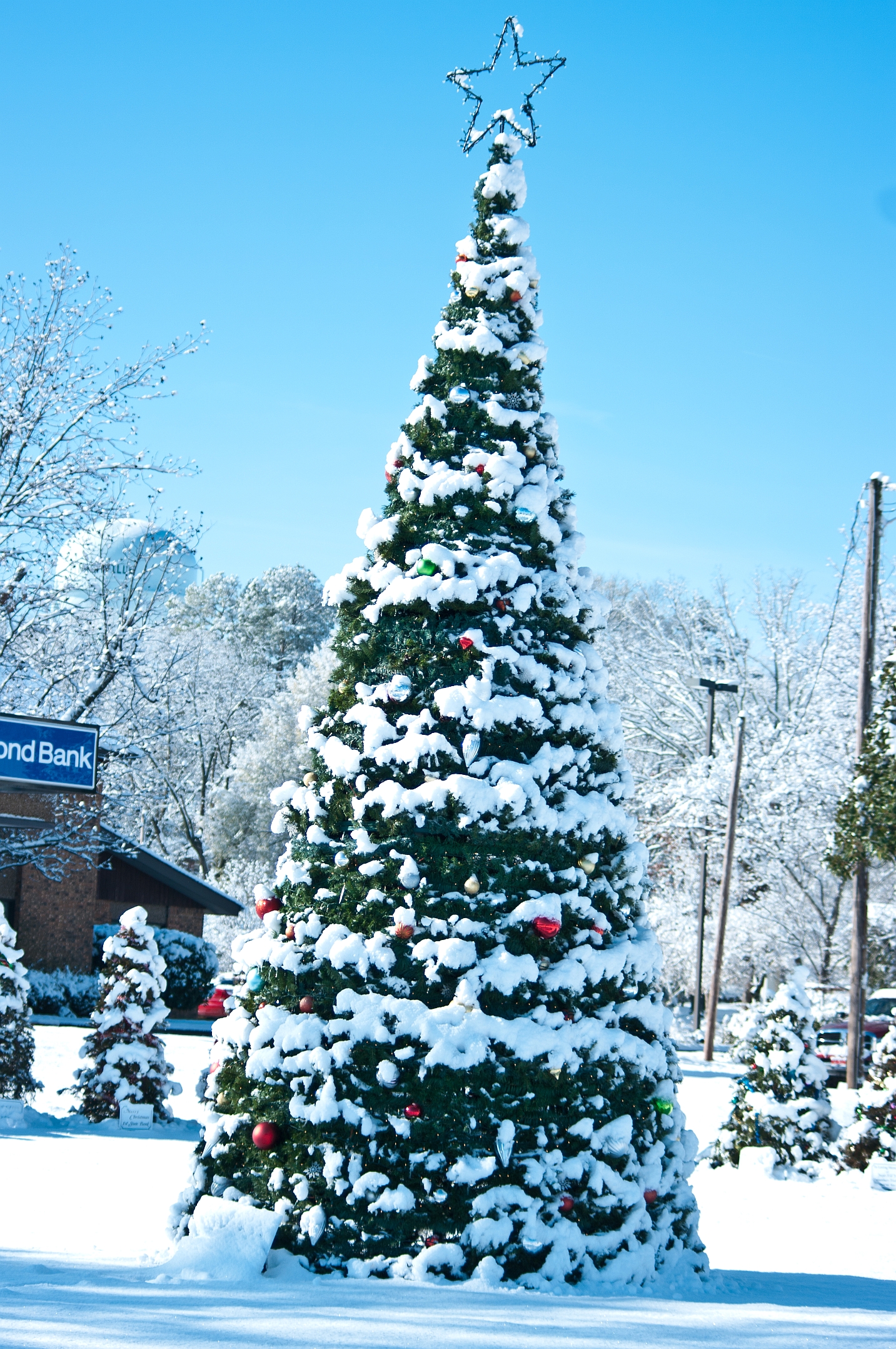 |
| Large Christmas tree covered in snow at the Chamber of Commerce in Nashville, AR, the morning after Christmas. |
|
| Back to Top |


 Follow us on YouTube