
Showers and thunderstorms capable of producing widespread heavy rainfall will be possible across much of Puerto Rico today. Heavy rainfall will likely lead to flash, urban and small stream flooding. Some areas may face life-threatening flooding. In the Southeast U.S., strong to marginally severe thunderstorms will be possible this afternoon. Read More >
| Overview | |||||||||||||||||||||||||||||||||||||||||||||||||||||||||||||||||||||||||||||||||||||||||||||||||||||||||||||||
|
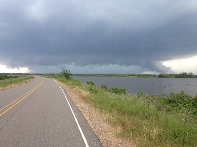
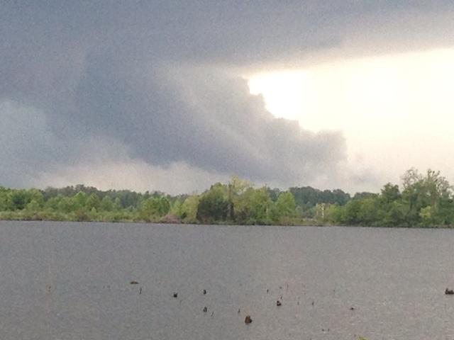
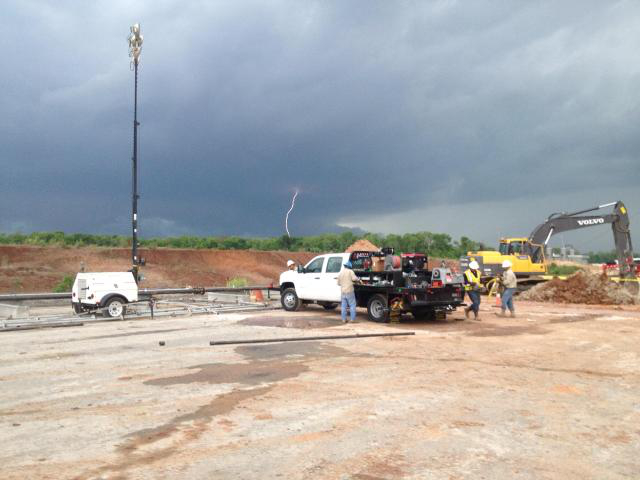
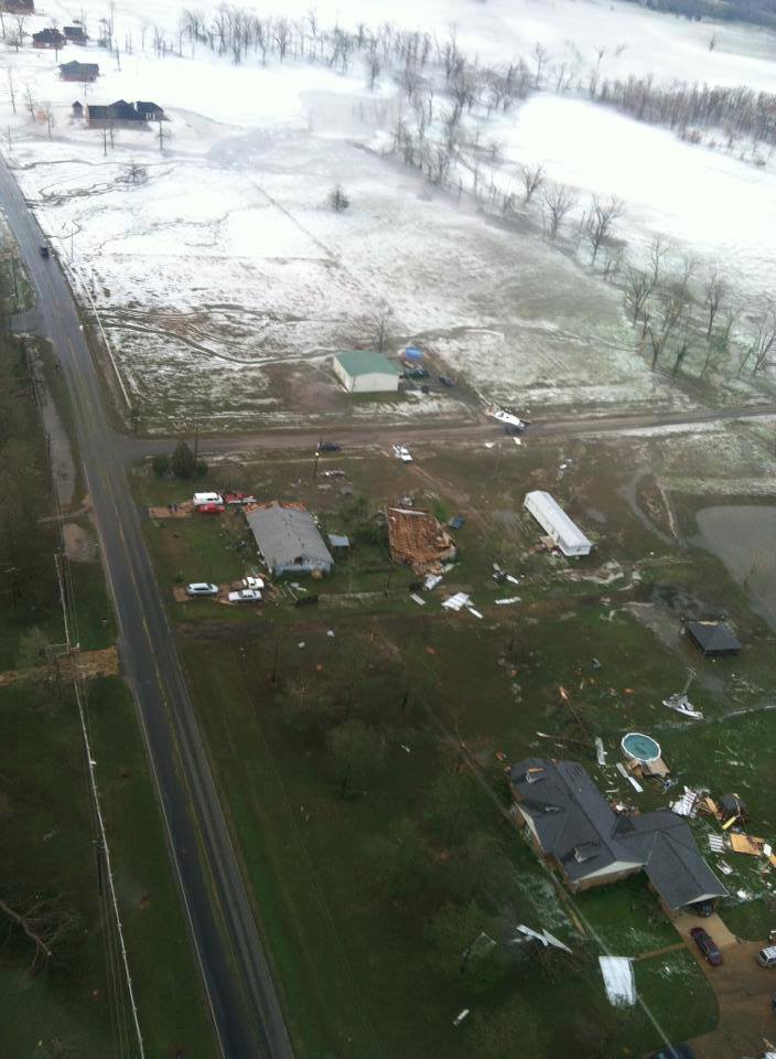
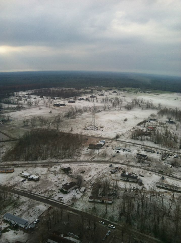
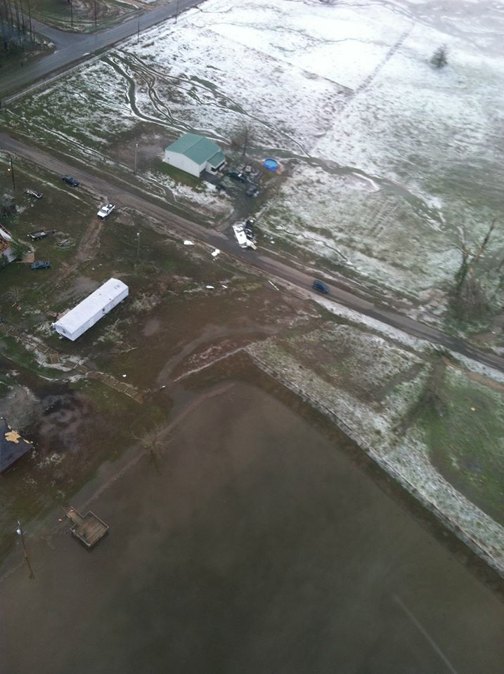
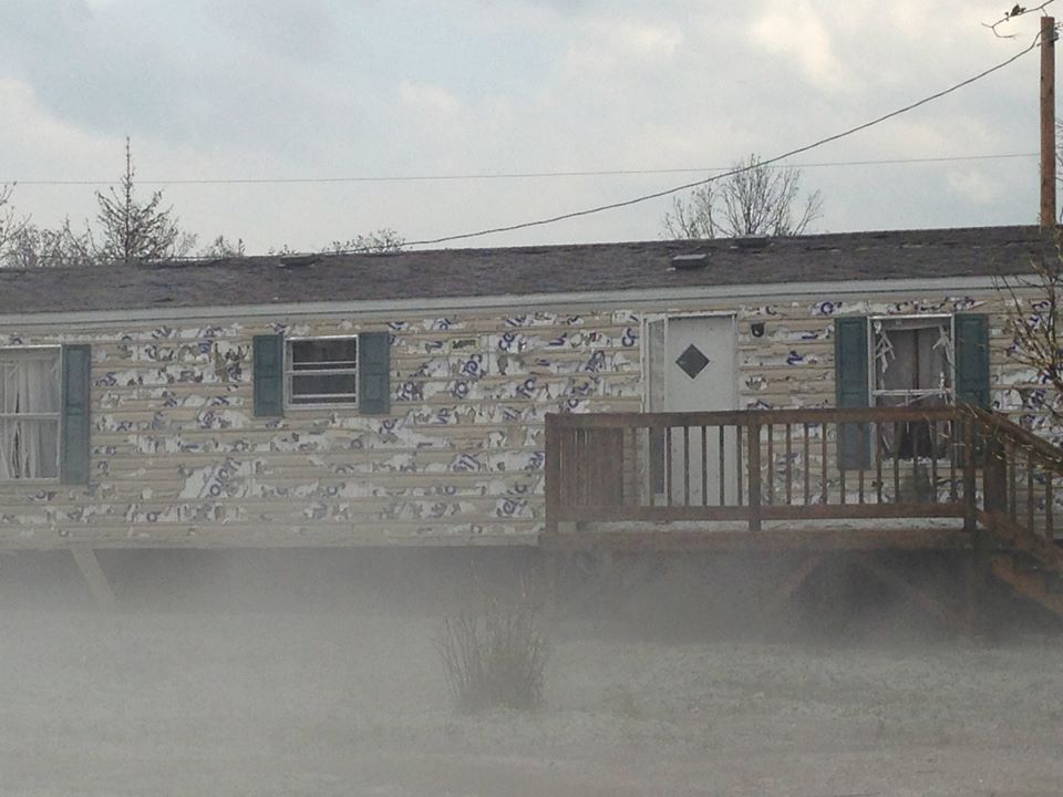
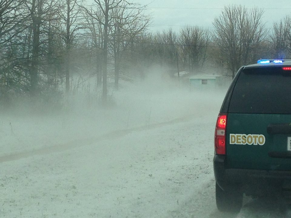
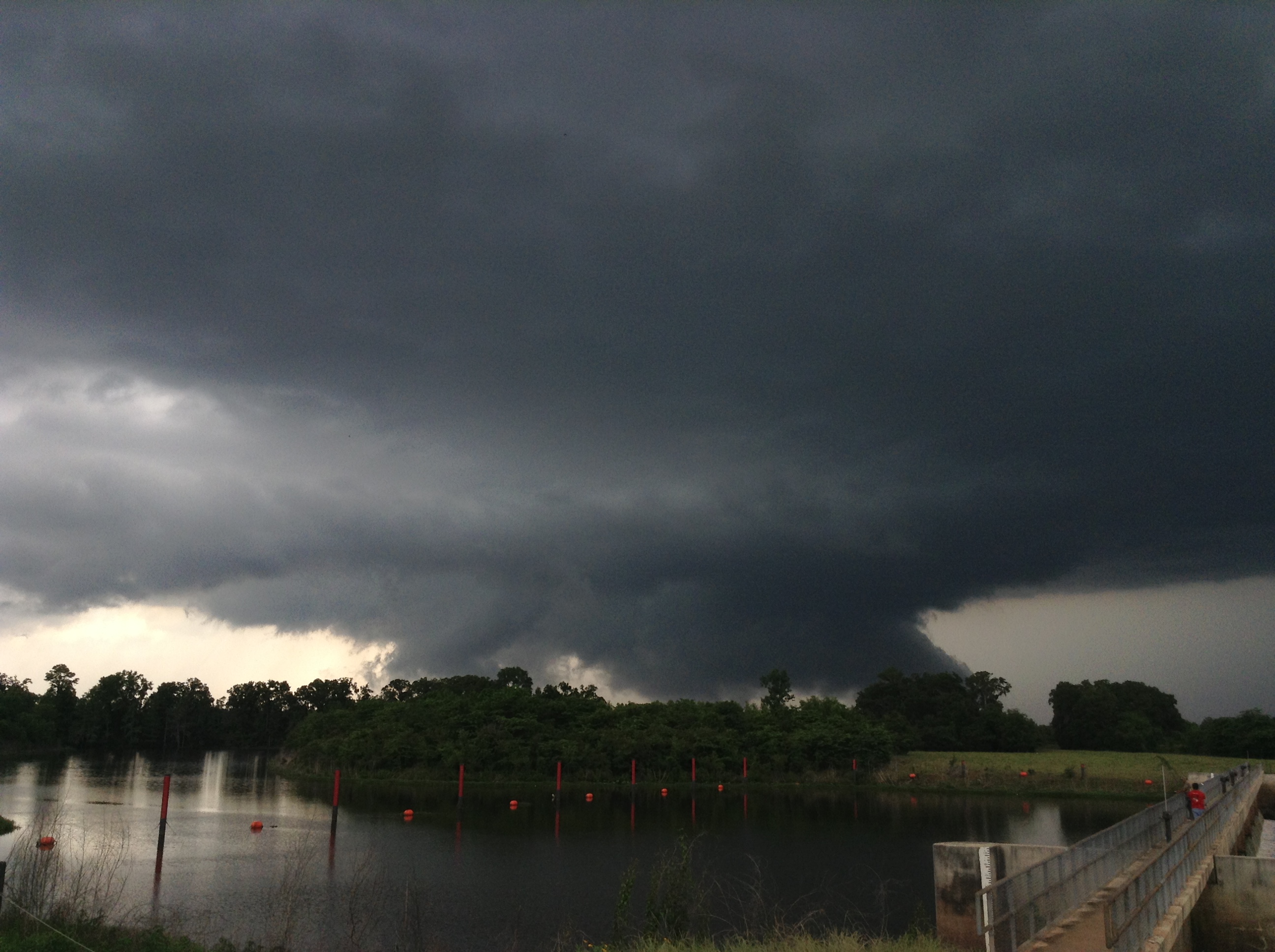
A thunderstorm developed over Northeast Texas during the early afternoon hours of May 16, 2013. As it tracked southeast, it developed into a supercell and eventually produced four tornadoes between Waskom, TX, and Stonewall, LA. These tornadoes were all rated as EF1. A severe downburst, with wind speeds estimated around 105 mph, produced a wide swath of straight-line wind damage across southern Caddo and northern De Soto Parishes. Several reports of wind damage and large hail were also received from across East Texas and Northwest Louisiana. Hail to the size of ping pong balls was reported north of Campti in Natchitoches Parish. Aerial photography shown by local TV stations showed the hail on the ground, and it looked just like snow from the air! Meteorologists from the National Weather Service in Shreveport conducted damage surveys in the days following the storms. Below is a preliminary report from the findings of the survey. The report is presented in chronological order of when the tornadoes occurred. More information may be added to this page in the coming days as it becomes available |
|||||||||||||||||||||||||||||||||||||||||||||||||||||||||||||||||||||||||||||||||||||||||||||||||||||||||||||||
|
TOTAL TORNADO COUNT = 4
|
|||||||||||||||||||||||||||||||||||||||||||||||||||||||||||||||||||||||||||||||||||||||||||||||||||||||||||||||
|
Tornado Table
Photos
Damage Map
Coming Soon! |
|||||||||||||||||||||||||||||||||||||||||||||||||||||||||||||||||||||||||||||||||||||||||||||||||||||||||||||||
| Back to Top | |||||||||||||||||||||||||||||||||||||||||||||||||||||||||||||||||||||||||||||||||||||||||||||||||||||||||||||||


 Follow us on YouTube