
A few strong to marginally severe thunderstorms are possible across the Southeast U.S. Friday. A Marginal Risk (Level 1 of 5) outlook has been issued. Strong winds and hail will be the main threats. Elevated to locally critical fire weather conditions will persist across south-central Colorado today due to dry conditions and gusty winds. Read More >
| Overview | ||||||||||||||||||||||||||||
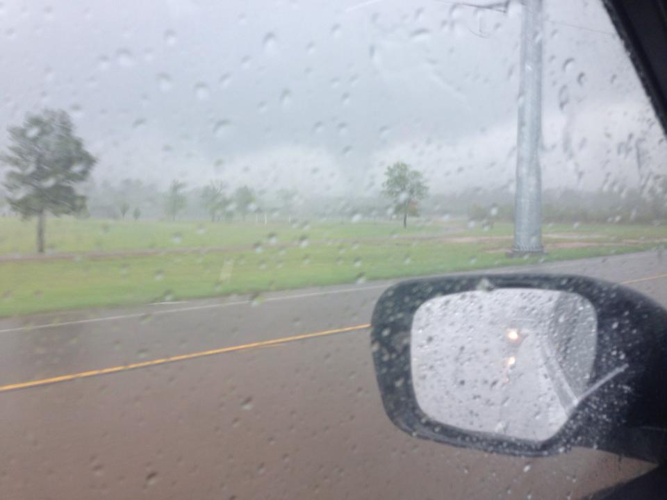
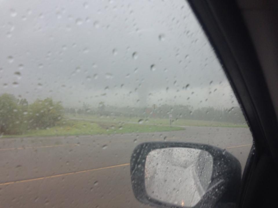
| Thunderstorms developed over Northeast Texas during the afternoon of April 13, 2014. Damage was reported near Pittsburg, TX. A survey team from the National Weather Service office in Shreveport investigated the damage and viewed video taken by a bank security camera. The team determined that an EF0 tornado occurred just north of Pittsburg. Estimated peak wind speeds were around 70-75 mph. | ||||||||||||||||||||||||||||
|
TOTAL TORNADO COUNT = 1
|
||||||||||||||||||||||||||||
|
Tornado Table
Photos
Damage Map
Coming Soon! |
||||||||||||||||||||||||||||
| Back to Top | ||||||||||||||||||||||||||||


 Follow us on YouTube