National Weather Service United States Department of Commerce

Highest Severe Thunderstorm Threat Centered Over the Mid-Mississippi Valley Thursday

Strong to severe thunderstorms capable of damaging wind gusts, large hail, and perhaps a couple tornadoes, are likely Thursday from parts of the lower Ohio Valley into the southern Plains. An Enhanced Risk (Level 3 of 5) outlook has been issued. Further north, a warm front will bring areas of rain showers to portions of the Great Lakes and Northeast U.S. Read More >

Click a location below for detailed forecast.

Last Map Update: Thu, Apr. 18, 2024 at 2:29:21 am CDT
National Weather Service Goodland, KSNational Weather Service Wichita, KansasNational Weather Service Springfield, MO
National Weather Service Norman, OKZoom
Out

National Weather Service Little Rock, AR
National Weather Service Fort Worth/Dallas, TXNational Weather Service Fort Worth/Dallas, TXNational Weather Service Shreveport, LA
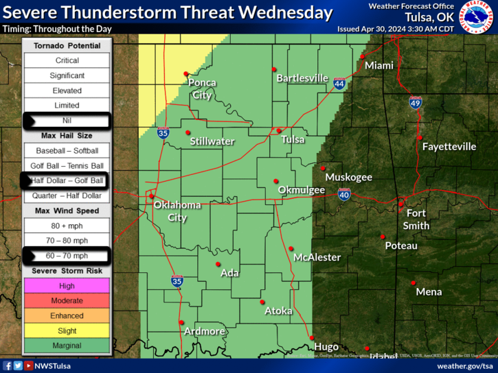
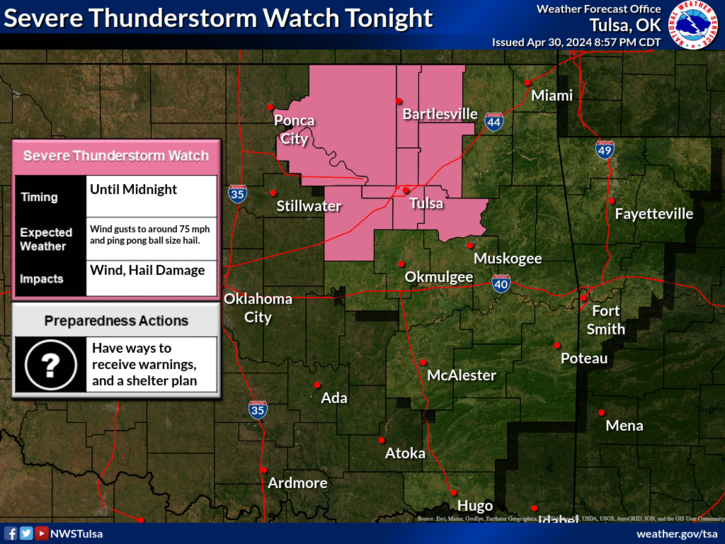
Scattered to numerous strong to severe thunderstorms remain possible this afternoon, mainly across southeast Oklahoma into western Arkansas as a cold front moves through the region. Large hail and damaging winds will be the primary concerns. However, there will be a very low chance of a tornado across northwest Arkansas.
Severe thunderstorm potential increases late this morning and continues into early evening as a cold front moves through the region.
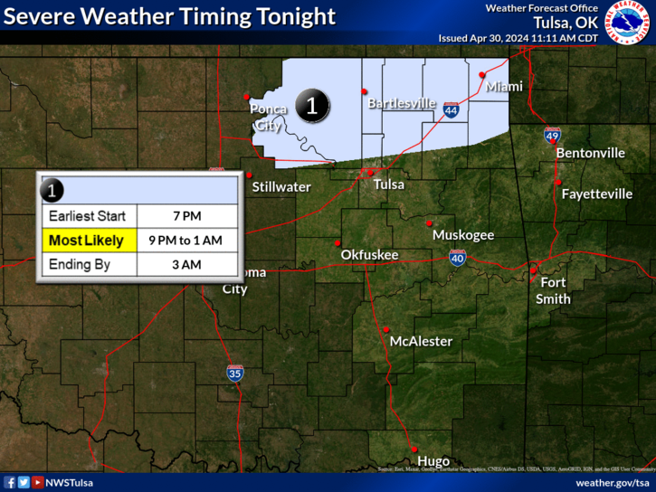
A cold front will move through eastern Oklahoma and northwest Arkansas Thursday. Storm coverage along the front is expected to increase during the afternoon, mainly impacting southeast Oklahoma and northwest Arkansas. While severe potential will be higher in these locations, isolated storms that develop earlier in the day across parts of northeast Oklahoma will also carry a severe threat. The front is expected to clear the area by early Thursday evening, and will end the severe threat.
.Tonight...Partly cloudy. Lows 41 to 61.
Latest Text Product Selector (Selected product opens in a new window)

Decision Support Hazards Models Observations Climate Hydrology
 
 
Social Media Satellite Fire Weather Weather Radio Spotter Training Text Products