Blizzard and Record-Breaking Winter Storm
January 31 - February 1, 2011
(last updated: 2:30 PM CDT 02/07/2011)
| Tulsa Snowfall Normals and Records | Fort Smith Snowfall Normals and Records |
| Official Tulsa Snowfall | |||||||
| Snowfall | Records Set | Previous Record | |||||
| January 31, 2011 | 0.8" | ||||||
|
|
|||||||
| February 1, 2011 | 13.2" | Record Calendar Day Snowfall for Any Day | 12.1" March 8, 1994 | ||||
| Record Snowfall for February 1 | 5.0" February 1, 1996 | ||||||
| Record Snowfall for the Entire Month of February | 10.5" February 2003 | ||||||
|
|
|||||||
| Jan. 31 - Feb. 1, 2011 | 14.0" | Record Event Snowfall | 12.9" March 8-9, 1994 | ||||
| Record 24-hour Snowfall | 12.9" March 8-9, 1994 | ||||||
|
|
|||||||
| February 2, 2011 | 14.0" | Record Maximum Snowfall Depth | 11.0" January 7-8, 1988 | ||||
Storm Summary
The combination of a deepening upper level storm system moving across Oklahoma and Arkansas, and cold arctic air spilling south into the area, resulted in a major winter storm across all of eastern Oklahoma and northwest Arkansas on the night of January 31 and through February 1, 2011. Surface low pressure intensified as it moved from Texas northeast into eastern Arkansas by the afternoon of Feb. 1. This resulted in strong northerly winds across eastern Oklahoma and northwest Arkansas, with blizzard to near blizzard conditions at times.
 |
 |
| Sleet/Snowfall Estimate | Ice Estimate |
Top 5 Two-Day Snowfall Records for Tulsa, Oklahoma
| 1. | 14.0" | January 31 - February 1, 2011 |
| 2. | 12.9" | March 8-9, 1994 |
| 3. | 11.5" | March 20, 1924 |
| 3. | 11.5" | January 8-9, 1920 |
| 5. | 10.7" | November 30 - December 1, 2005 |
|
Note: Many large snowfalls cross the calendar day, which is why a two day period is used. Records listed above with only one date occurred within the calendar day. Period of record: January 1900 - February 1, 2011
|
||
Top 10 Coldest Low Temperatures Recorded in Tulsa, Oklahoma
| 1. | -16°F | January 22, 1930 |
| 2. | -15°F | February 13, 1905 |
| 3. | -14°F | January 18, 1930 |
| 4. | -13°F | January 12, 1918 |
| 5. | -12°F | January 13, 1916 |
| 6. | -11°F | February 4, 1996 |
| 7. | -10°F | February 14, 1905 |
| 8. | -8°F | December 23, 1989 |
| 9. | -8°F | January 4, 1947 |
| 10. | -8°F | January 23, 1930 |
| Period of Record: January 1905-December 2010 | ||
|
|
 |
|
Historic Snowfall Measurment at 1 pm
|
10" Snow Drift in Breezeway |
 |
 |
|
Parking Lot Looking South
|
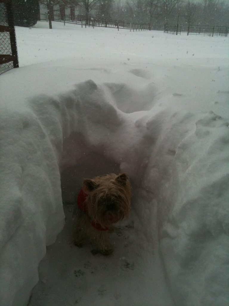
Woof!! |
 |
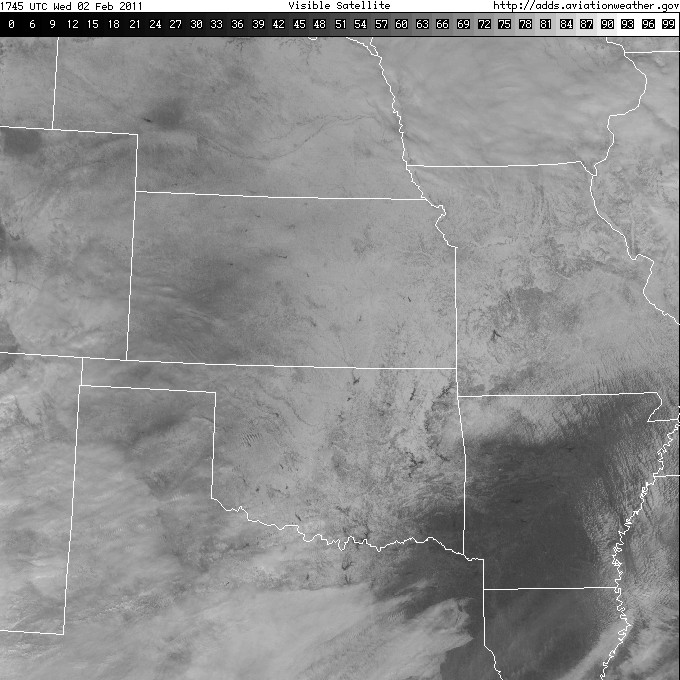 |
| Owasso, OK...Wow!! | Visible Satellite Image from February 2, 2011. White areas show snow field. |


 Follow us on YouTube