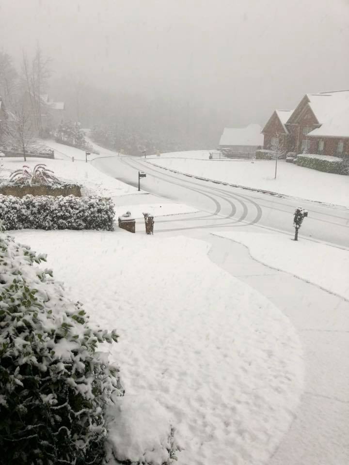
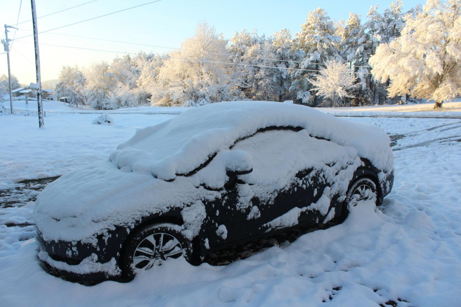
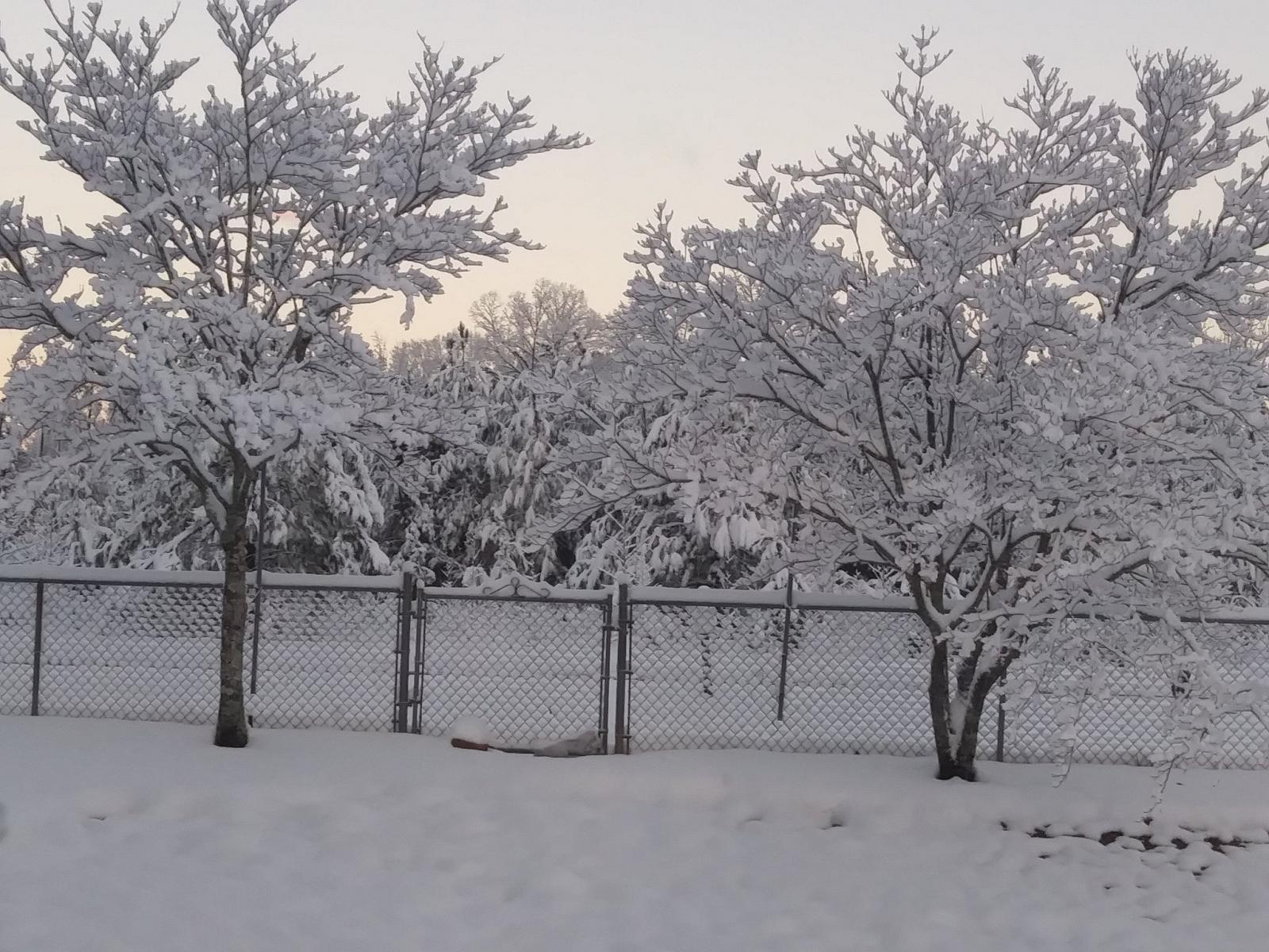
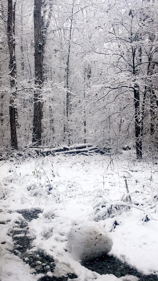
Alabaster (Shelby Co)
Courtesy of Susan Falls Bailey
|
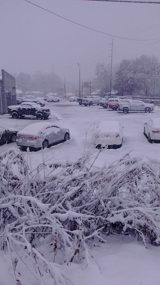
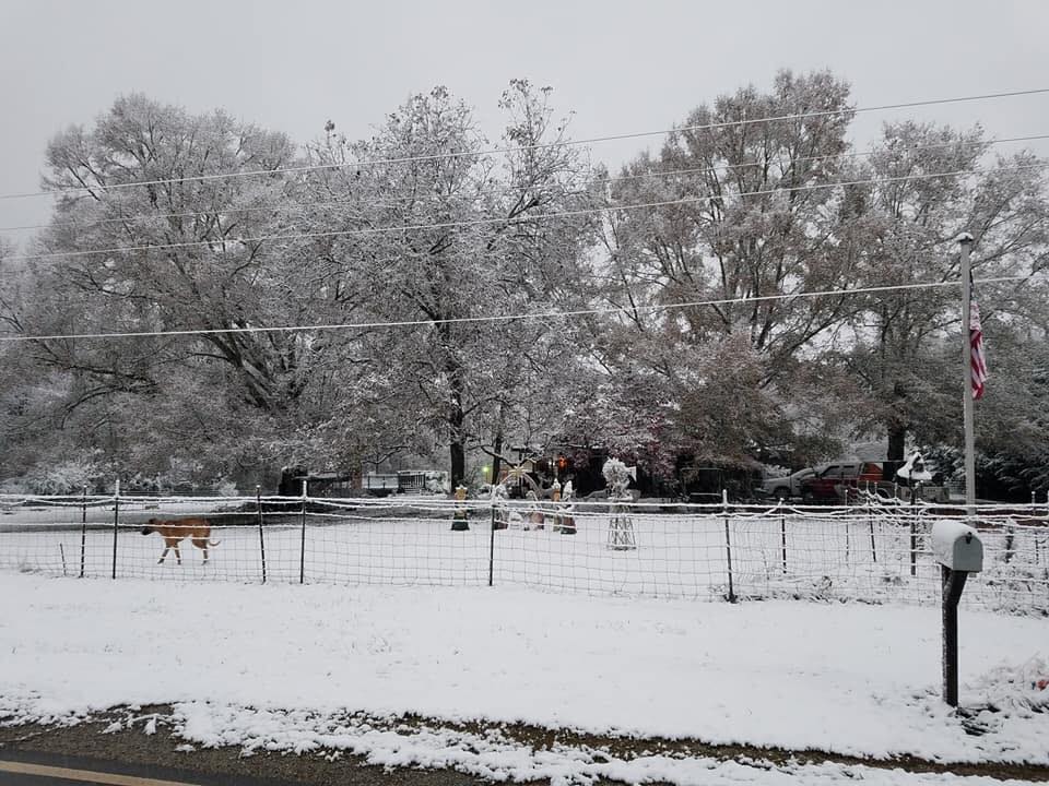
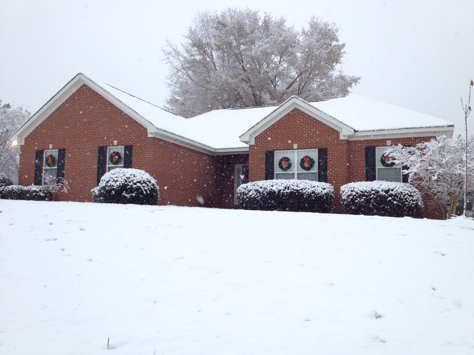
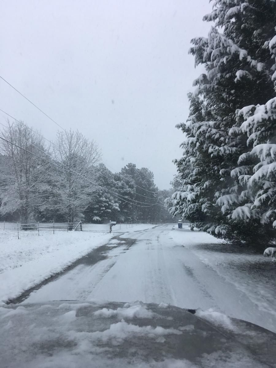
Saginaw (Shelby Co)
Courtesy of Tara Goggins
|
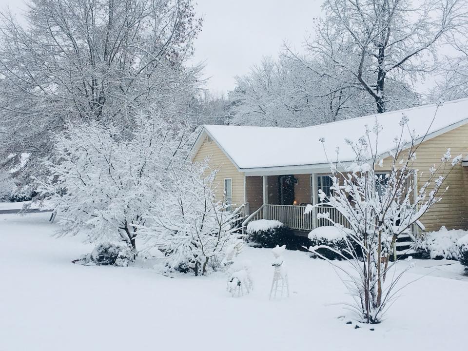
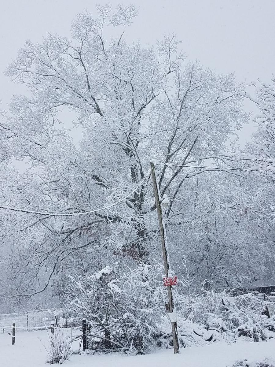
Alexander City (Tallapoosa Co)
Courtesy of Brandi Pitts
|
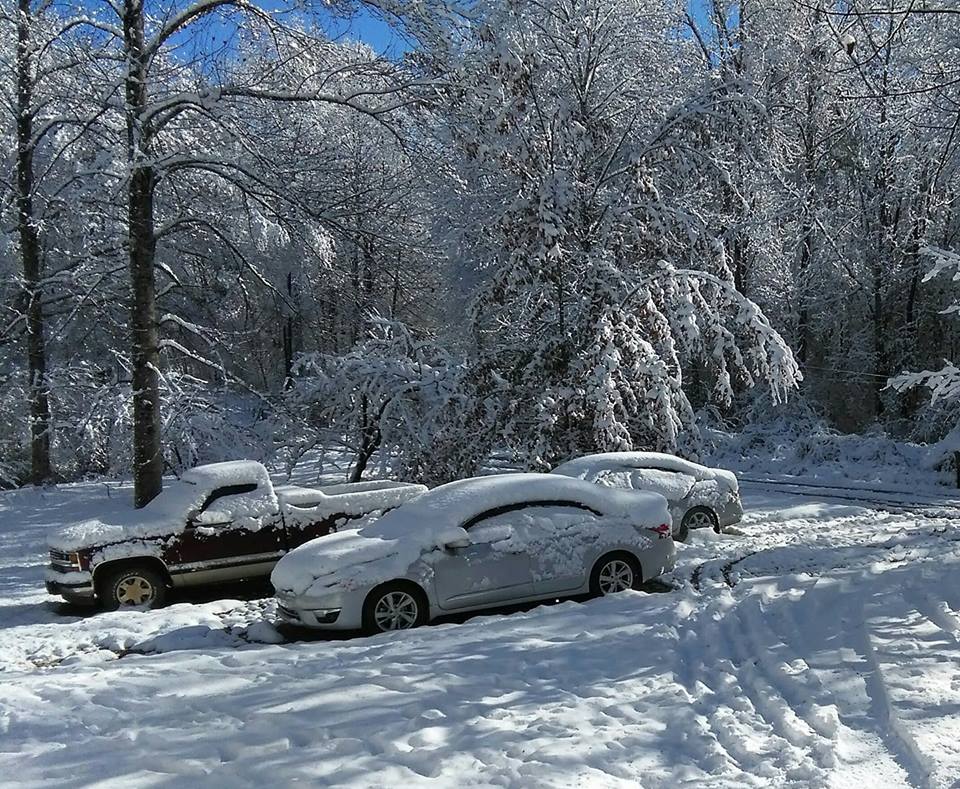
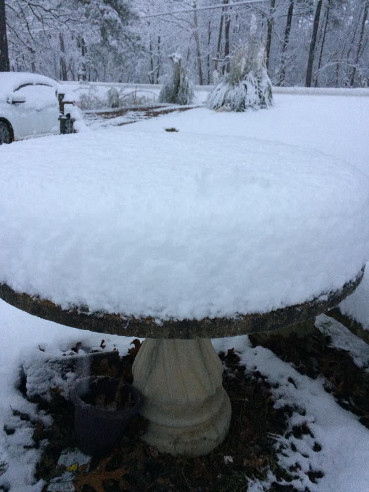
Anniston (Calhoun Co)
Courtesy of John McBride
|

Birmingham (Jefferson Co)
Courtesy of Jade Suade
|
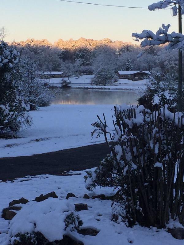
Buyck (Elmore Co)
Courtesy of Holley Collier
|
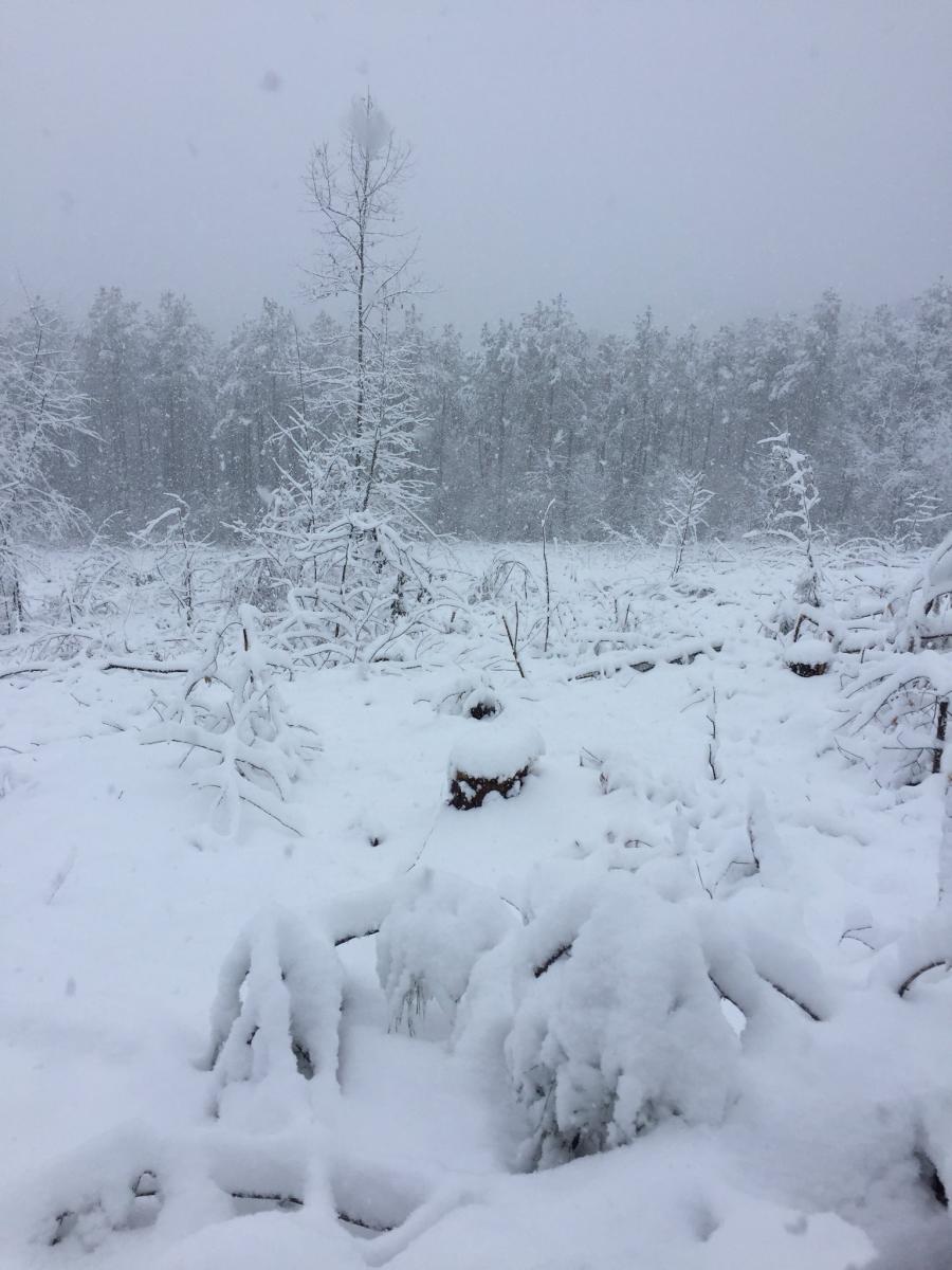
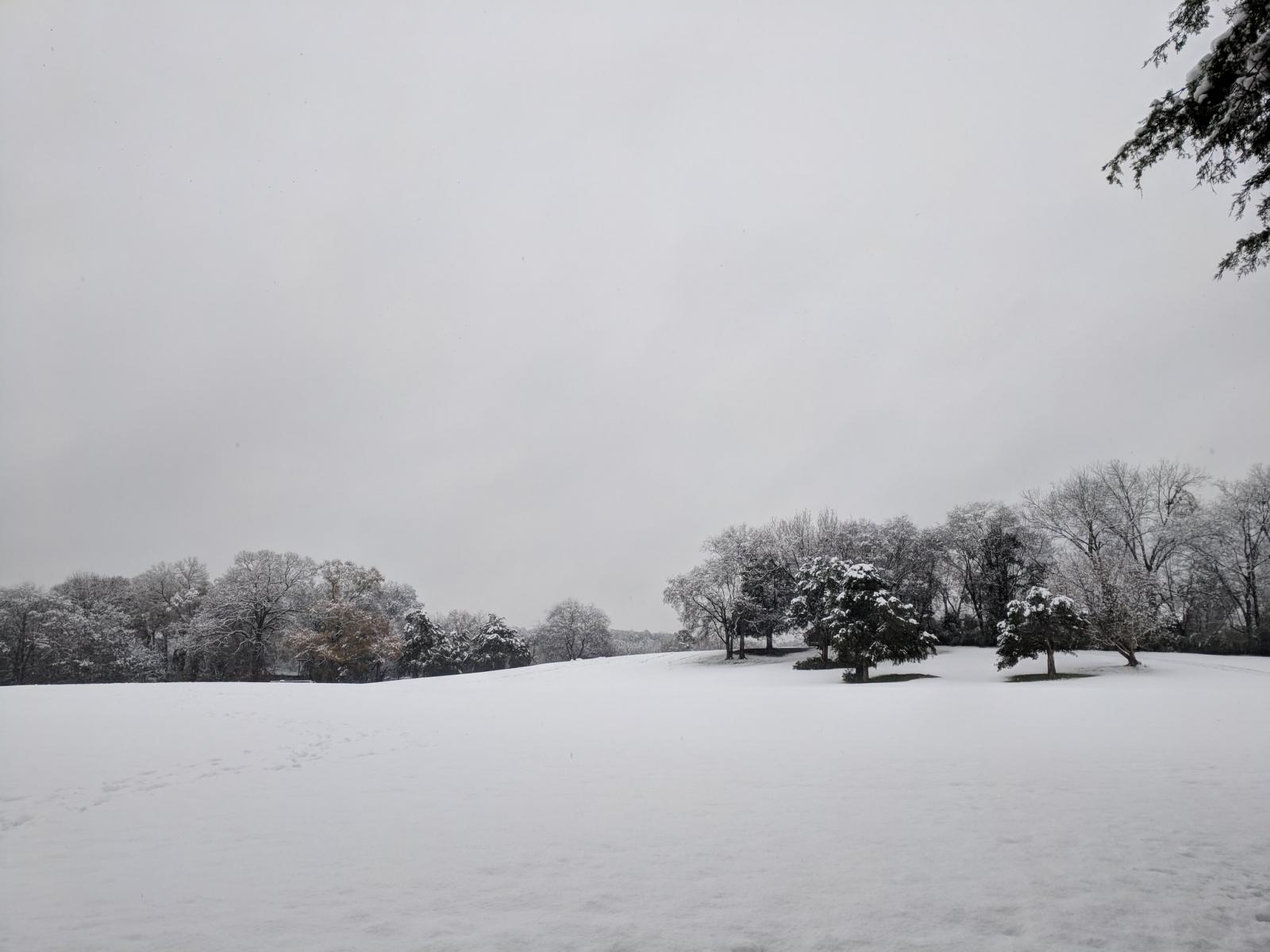
Calhoun Co
Courtesy of Michelle Miklik
|
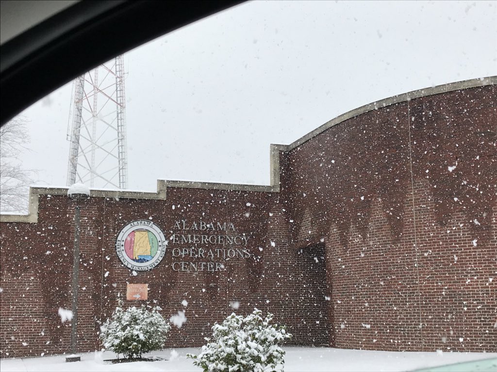
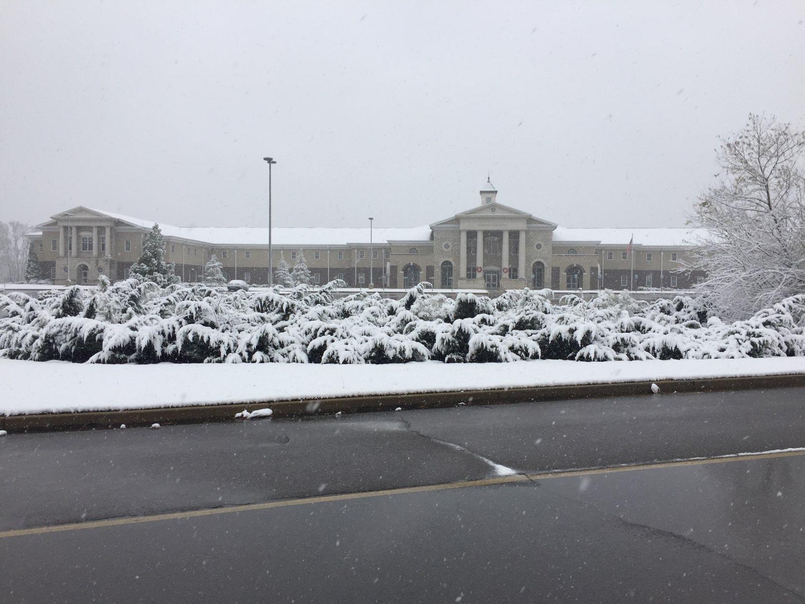
Clanton (Chilton Co)
Courtesy of Alabama EMA
|
Brierfield (Bibb Co)
Courtesy of Patrick McCarty
|

Centre (Cherokee Co)
Courtesy of Christina Mladucky
|
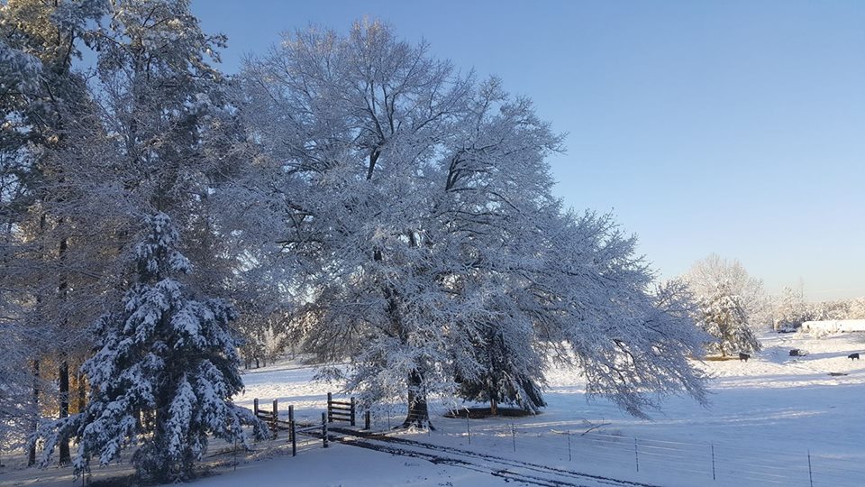
Chelsea (Shelby Co)
Courtesy of Corky Landwehr Adams
|
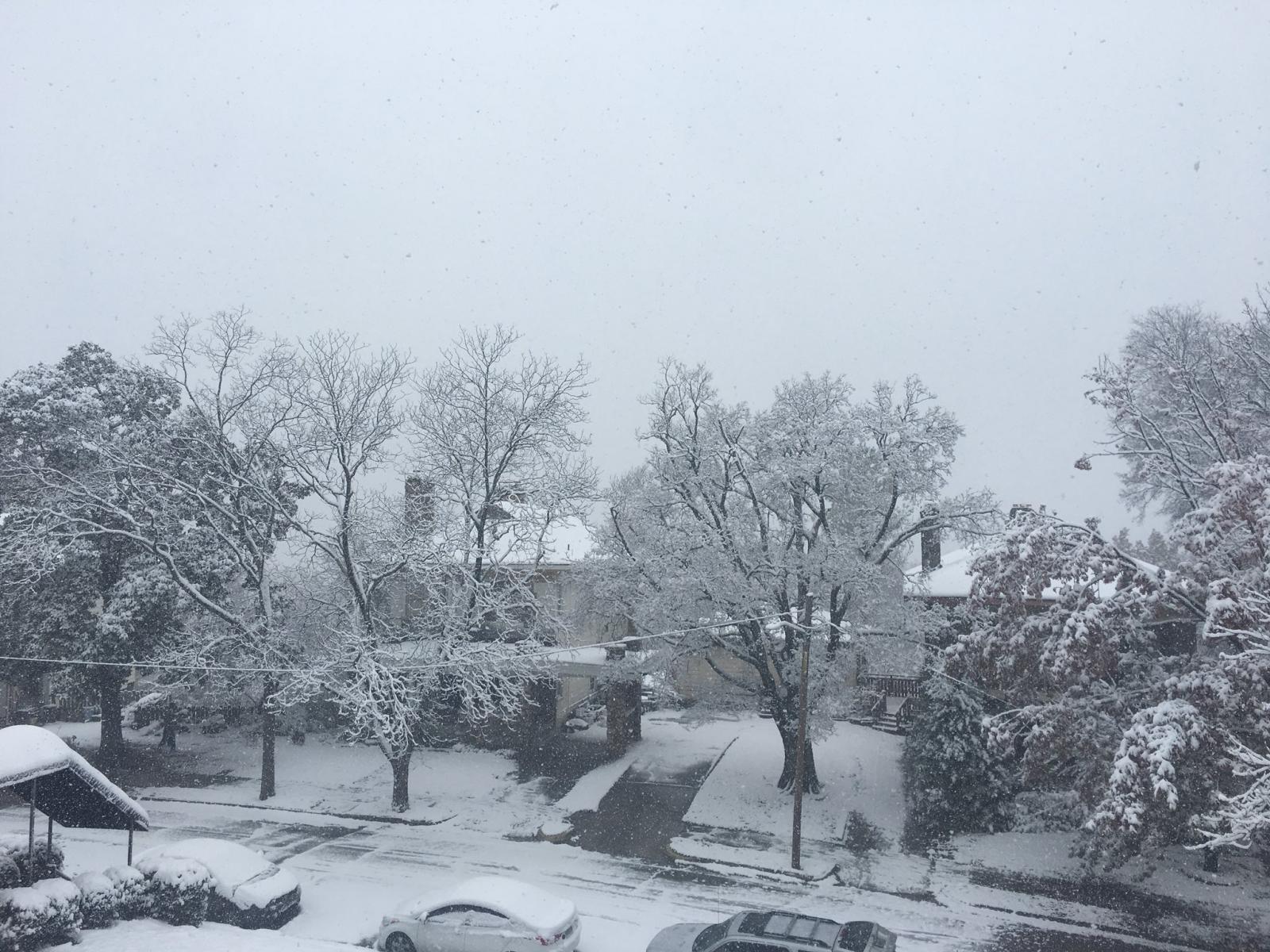
Clanton (Chilton Co)
Courtesy of David Sillasen
|

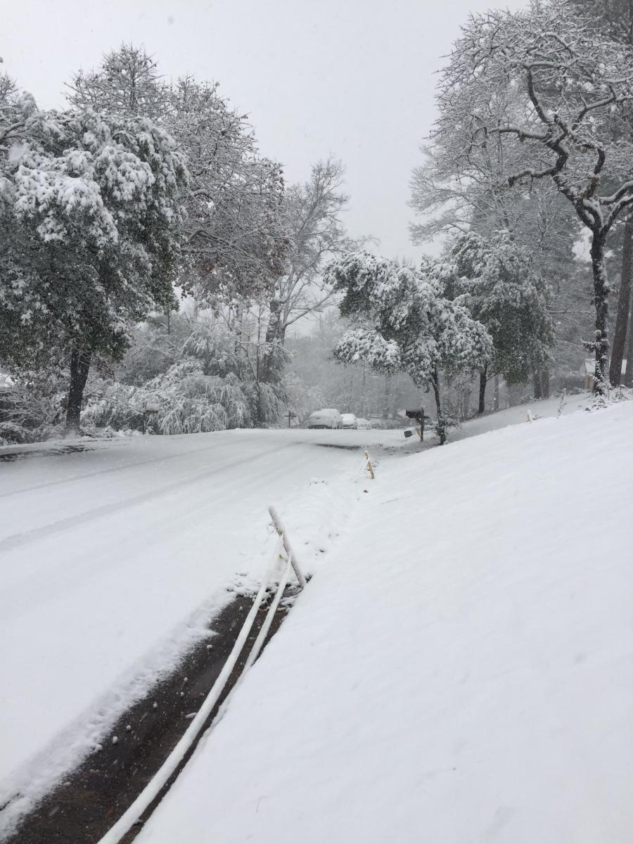
Columbiana (Shelby Co)
Courtesy of Travis Braden
|
Concord (Jefferson Co)
Courtesy of John Talbot
|
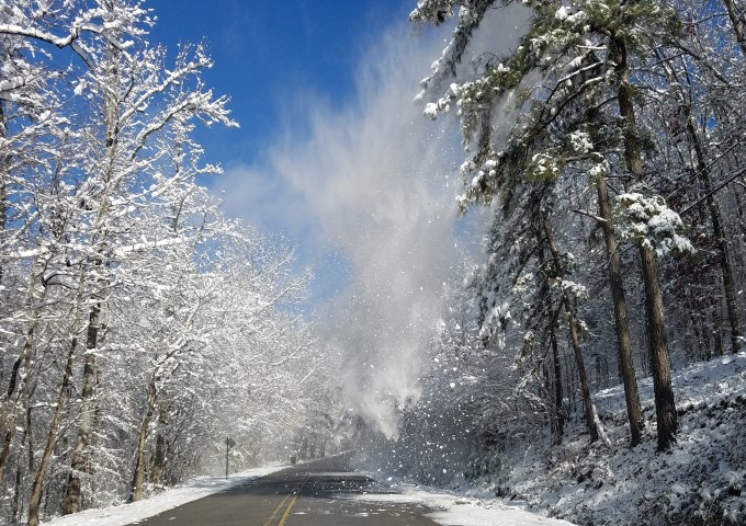
Heflin (Cleburne Co)
Courtesy of Steve Jones
|
Goodwater (Coosa Co)
Courtesy of Aiden Lee Baker
|

Dixons Mill (Marengo Co)
Courtesy of Tamara Norris
|
Fredonia (Chambers Co)
Courtesy of Robin Gilbert
|
Hueytown
Courtesy of Hueytown PD
|
Highland Park (Jefferson Co)
Courtesy of Ashley Waring
|
Forney (Cherokee Co)
Courtesy of Jeremy Crowden
|
Hueytown (Jefferson Co)
Courtesy of Ali Thompson
|
Homewood (Jefferson Co)
Courtesy of Sarah Swindle
|

Jemison (Chilton Co)
Courtesy of Lori Bice
|
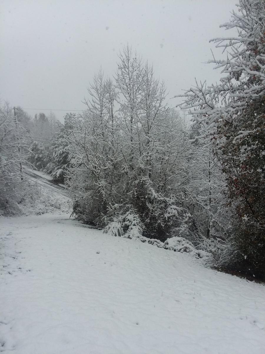
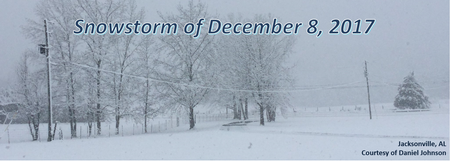
Jacksonville (Calhoun Co)
Courtesy of Daniel Johnson
|
Kellyton (Coosa Co)
Courtesy of Breanna Walters
|
Lake Tuscaloosa (Tuscaloosa Co)
Courtesy of Richard Scott
|
Lake View (Tuscaloosa Co)
Courtesy of Karen King Handley
|
Hollins (Clay Co)
Courtesy of Lynn Tidwell
|

Hollis Crossroads (Cleburne Co)
Courtesy of Tammy Roberson Deese
|
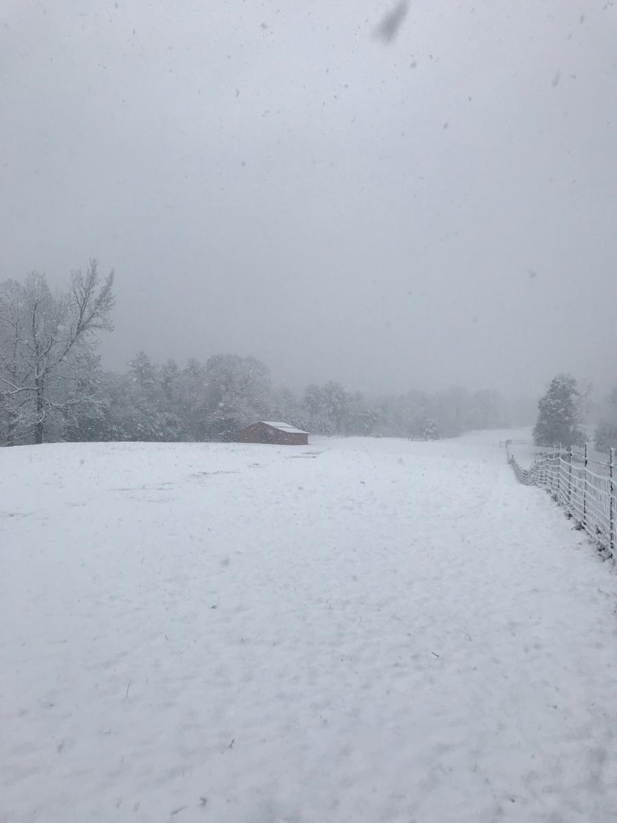
Moundville (Hale Co)
Courtesy of Phyllis Samuel
|
White Plains (Calhoun Co)
Courtesy of Jordyn Wells
|
Linden (Marengo Co)
Courtesy of Amber Bracknell
|
McCalla (Jefferson Co)
Courtesy of Brian Romine
|
Montevallo (Shelby Co)
Courtesy of Matt Walker
|
Pelham (Shelby Co)
Courtesy of Jordan Kelly
|
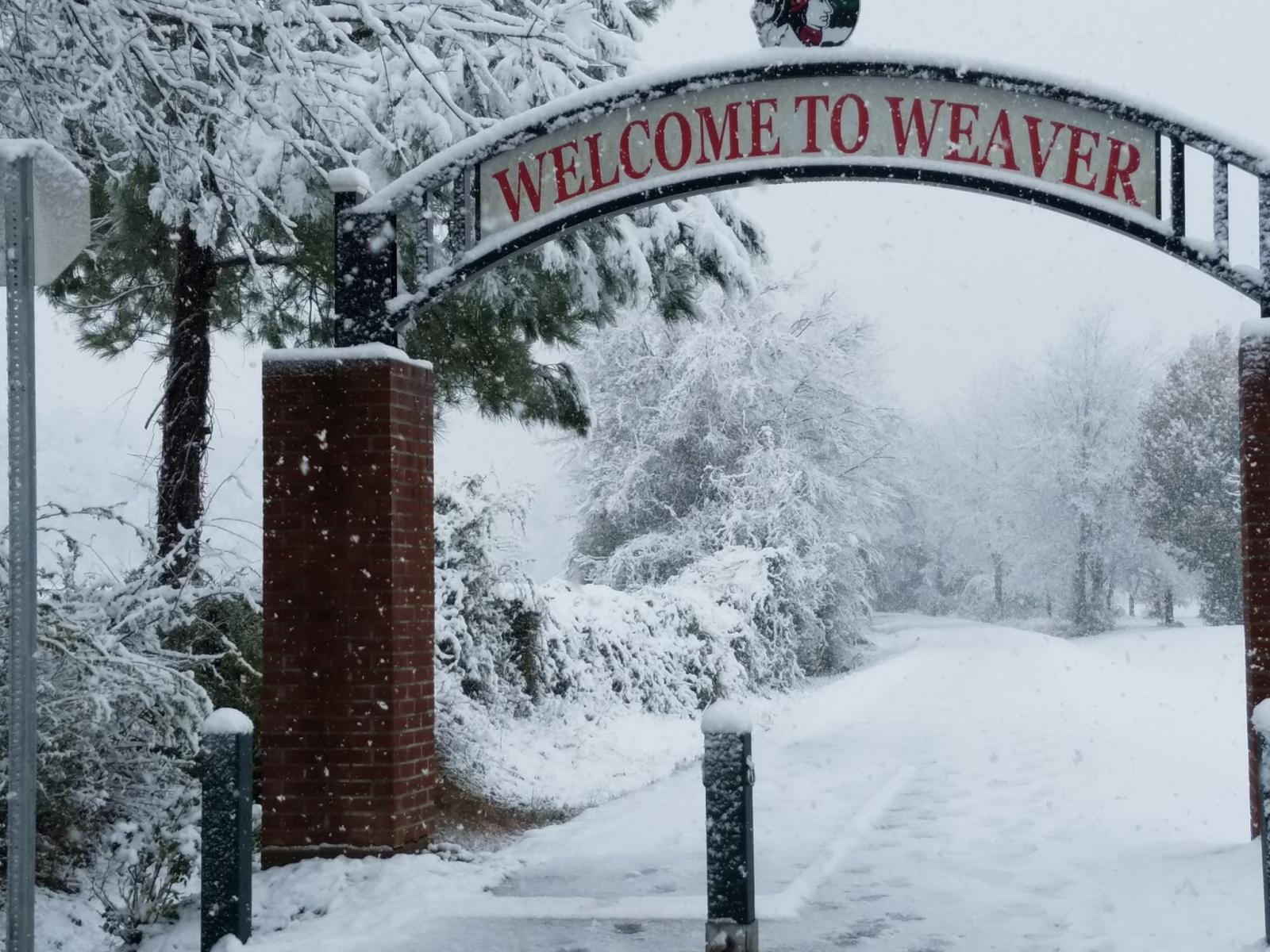
Weaver (Calhoun Co)
Courtesy of Michelle Miklik
|

Clay (Jefferson Co)
Courtesy of Jason Wood
|
Maylene (Shelby Co)
Courtesy of Mary Keiser
|
Rainbow City (Etowah Co)
Courtesy of Megan Lynn Fields
|
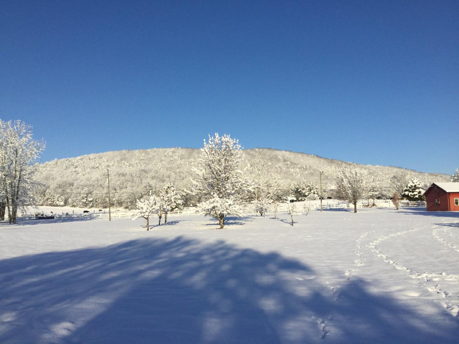
Straight Mtn (Blount Co)
Courtesy of Travis Tucker
|
Osceola (Cherokee Co)
Courtesy of @rc355461
|
Sylacauga (Talladega Co)
Courtesy of Cayce Williams
|
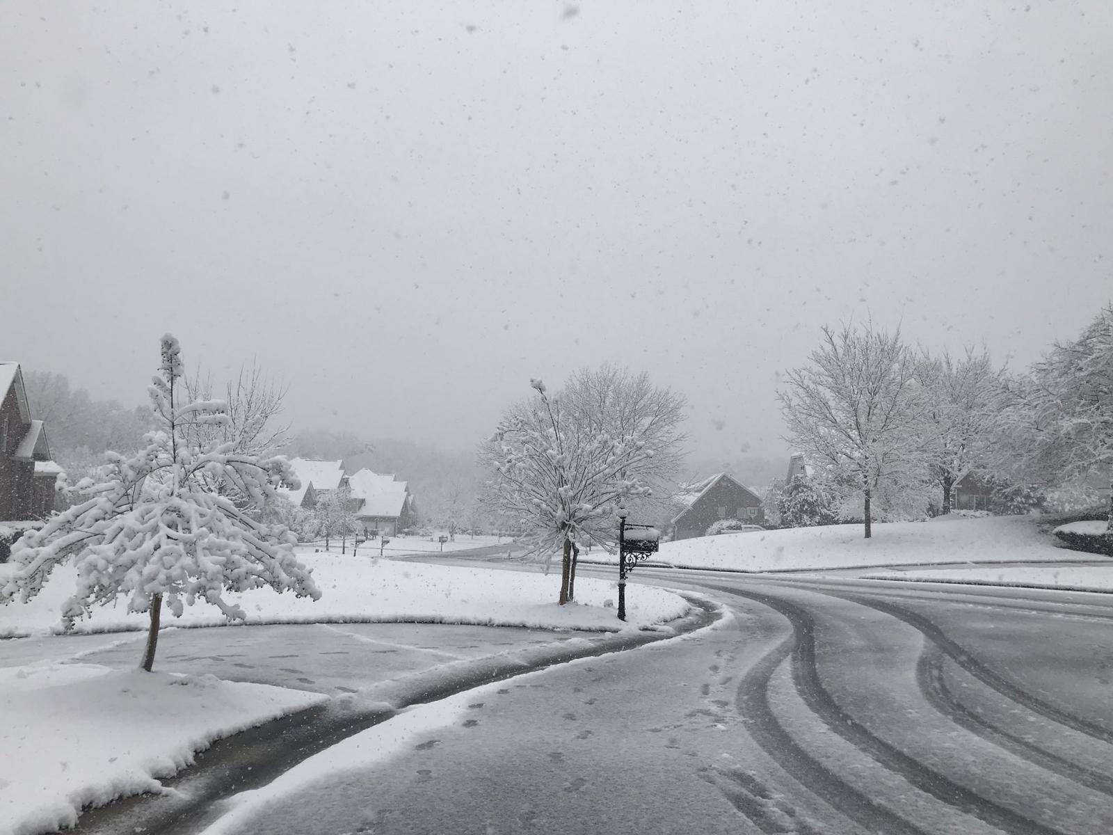
Odenville (St. Clair Co)
Courtesy of Emily Nesdore
|


 Follow us on YouTube