National Weather Service United States Department of Commerce
Click a location below for detailed forecast.

Last Map Update: Sat, Oct 10, 2026 at 2:52:50 am CDT

A Small Craft Advisory is in effect until 7 AM CDT Saturday for the nearshore and offshore Gulf waters (0-60 nm). Expect waves between 5 to 8 feet.
A Coastal Flood Advisory and a High Risk for Rip Currents is in effect for the Lower Texas Coast beaches till 7AM CDT Sunday. Increased swells from Hurricane Isaias will result in hazardous coastal/beach conditions through Sunday. Max inundation will occur near high tide cycles each afternoon.
A High Surf Advisory is in effect until 7PM CDT Saturday. Increased swells from the distant Hurricane Isaias will result in large breaking waves between 4-7 feet in the surf zone.
Due to increased swells from Hurricane Isaias, hazardous coastal conditions will persist with a High Risk for Rip Currents today along the Lower Texas Coast beaches.
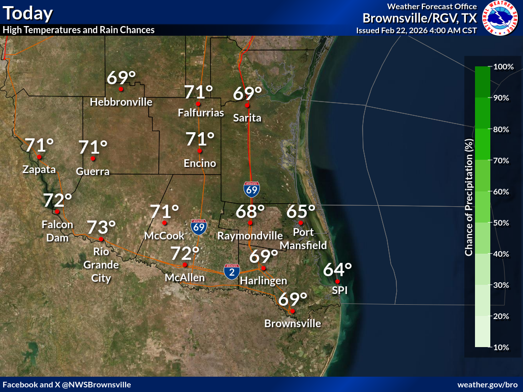
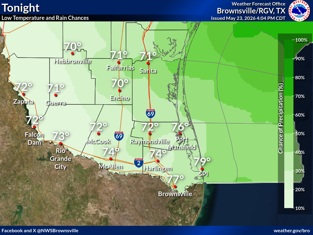
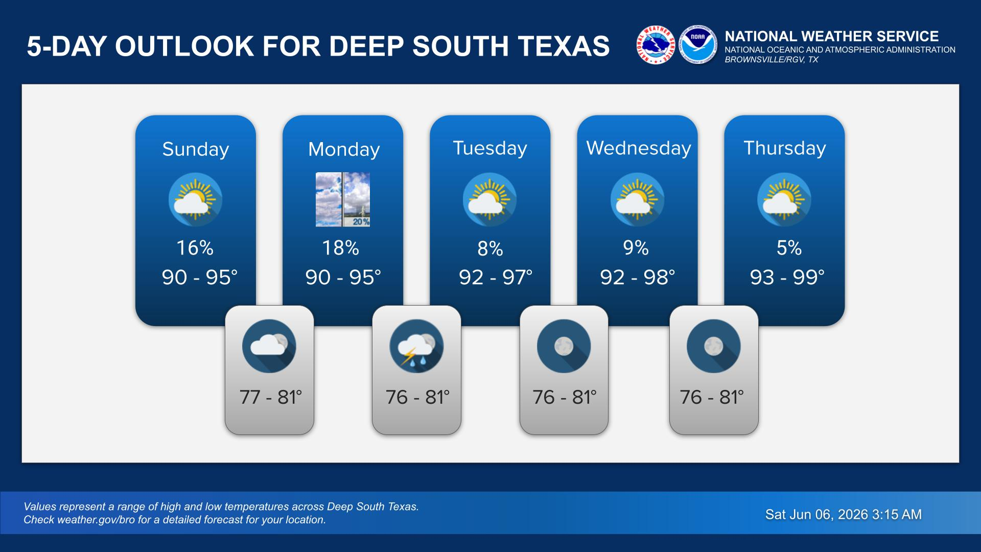
A stretch of rain-free days are on tap through the middle parts of next week. Temperatures will average out warmer than normal as a warming trend takes place through mid next week.

 
Current Observations ( )
Location Sky/Weather Temp Dewpt RH Wind Baro Remarks
Brownsville
N/A
N/A
N/A
N/A
N/A
N/A
N/A
Harlingen
N/A
N/A
N/A
N/A
N/A
N/A
N/A
McAllen
N/A
N/A
N/A
N/A
N/A
N/A
N/A
Bayview
N/A
N/A
N/A
N/A
N/A
N/A
N/A
Weslaco
N/A
N/A
N/A
N/A
N/A
N/A
N/A
Edinburg
N/A
N/A
N/A
N/A
N/A
N/A
N/A
Zapata
N/A
N/A
N/A
N/A
N/A
N/A
N/A
Hebbronville
N/A
N/A
N/A
N/A
N/A
N/A
N/A
Falfurrias
N/A
N/A
N/A
N/A
N/A
N/A
N/A
Laredo
N/A
N/A
N/A
N/A
N/A
N/A
N/A
Kingsville
N/A
N/A
N/A
N/A
N/A
N/A
N/A
Alice
N/A
N/A
N/A
N/A
N/A
N/A
N/A
Notes:
  • In the Location column, click on links for a list of recent observations at sites of interest. A new window will open.
  • In the Wind column, the letter indicates direction the wind blows from (N=North, E=East, S=South, W=West, NE=Northeast, etc). VRB is "variable" and G is "gust". Wind speeds are in MPH.
  • In the Baro (pressure) column, values are in inches.
  • In the Remarks column, HX is the Heat Index and WCI is Wind Chill Index (if shown). These are "Feels Like" temperatures. VSB is Visibility. "N/A" will be displayed if values are not available.
 
Text Product Selector (Selected product opens in current window)


Beach Page Tropical Marine Weather Fire Weather Hazards Outlook Rivers-Flooding
Beach Tropical Marine Weather Fire Weather Hazards Outlook Rivers-Flooding
Observations Forecaster Discussion Satellite Preparedness NOAA Weather Radio Spanish Weather Radio
Observations Forecasters Discussion Satellite Preparedness Weather Radio Spanish Weather Radio
RGV Outreach Web Newsletter RGV Drought Rip Current Safety Flood Safety Skywarn
Outreach Newsletter Drought Rip Current Safety Flood Safety Skywarn
RGV Event Summaries Seasonal Outlooks RGV Storm Data Reports (short form) Research User Guides Skywarn
Event Summaries Seasonal Outlooks Storm Data Research User Guides Severe Weather Drill