| Select Variable: Average Temperature Graphs | Low Temperature Graphs | High Temperature Graphs |
|---|
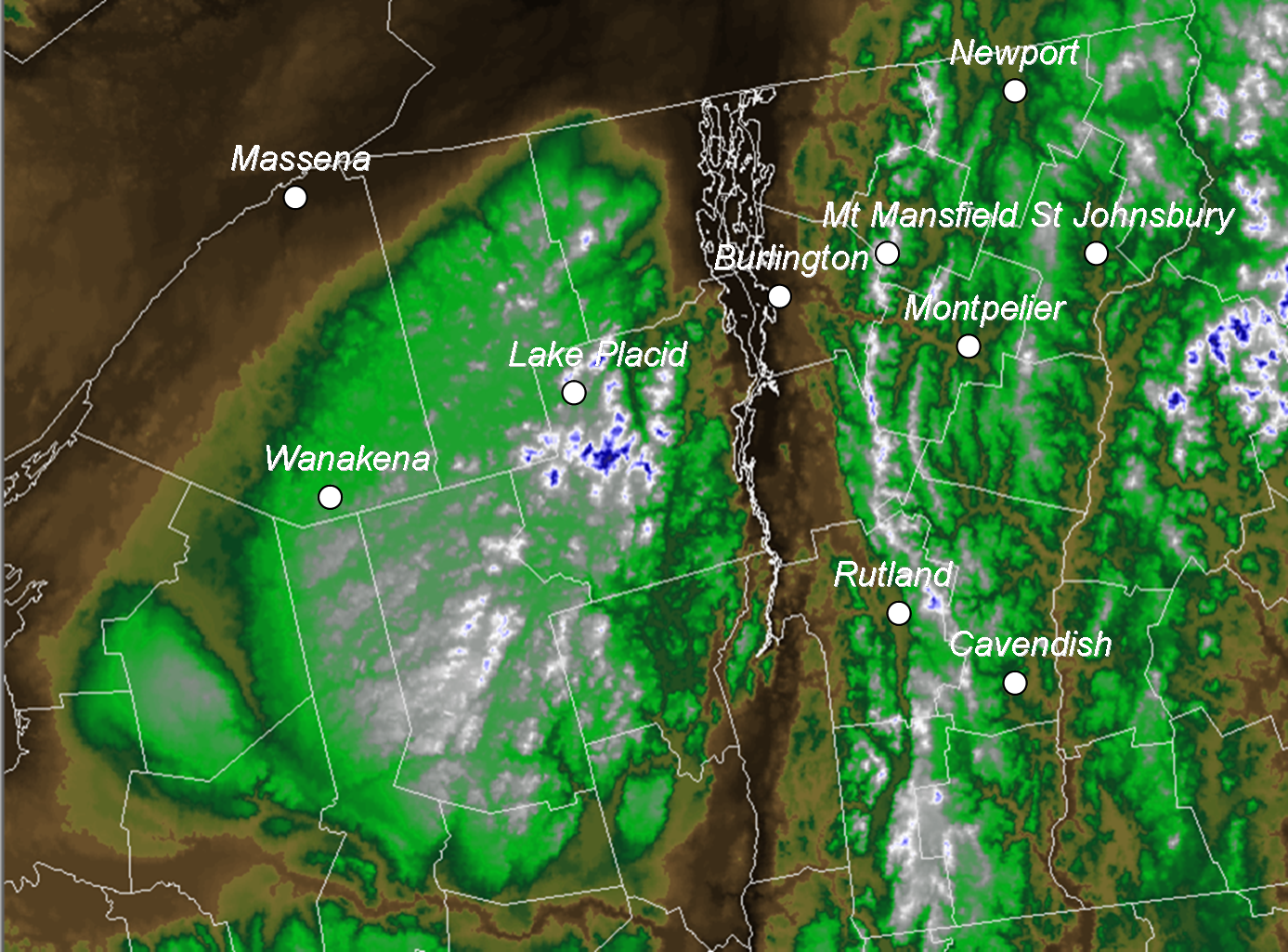
| Localized Climate: There are large localized climate differences across the North Country when it comes to temperature. The causes of such large differences in local temperatures are elevation, proximity to water sources, and location relative to deep valleys or hillsides. In general lower elevation locations that are close to water sources will have a warmer climate, then a deep mountain valley that has been deforested. Climate Graphs: The climate graphs on this page are yearly averages for the average (max + min / 2), minimum, and maximum temperature. Each data point on the graph represents the annual temperature for one entire year. The graphs have a historic linear regression trend line and a 5 year moving average trend line. Temperature is located on the Y axis and the Year is located on the X axis. Period of Record: The period of record (Years observations have been taken) varies between each site. Each site was selected due to their long record of continuous observations and geographic location. Due to numerous complications that occur with temperature readings some sites are still missing data. Any year with missing data was omitted from the graph, thus you will notice some breaks of data in the graphs. These temperature graphs are not official records and should not be used in any official publications or research work. Some sites have moved locations and all sites have had changes in temperature recording instrumentation. Trends: You will notice that the vast majority of sites have had an upward trend in temperature over the past century with a higher rate of warming in minimum temperatures then maximum temperatures. |


 Follow us on YouTube