National Weather Service United States Department of Commerce
Click a location below for detailed forecast.

Last Map Update: Fri, Oct 9, 2026 at 5:12:26 am CDT

Hurricane Isaias continues to strengthen move northeast, approaching the Central Gulf. Hurricane warnings are currently in effect from Ocean Springs, Mississippi, to the Bay/Gulf County line in Florida. The system is forecast to turn northward and make landfall along the northern Gulf Coast on Friday night. Consequently, no significant impacts are expected for Southeast Texas, though increasing winds, swells, and rip current risk in Gulf waters are anticipated through the early weekend along with potential minor coastal flooding. You can continue to monitor for updates.
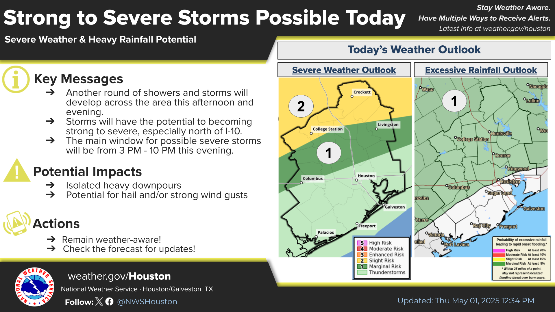
A small craft advisory is in effect from 7 AM CDT Thursday through at least 1 AM CDT Saturday for the waters from High Island to the Matagorda Shipping Channel between 0 and 60 nautical miles. You can expect hazardous wind and wave conditions, featuring northeast winds of 15 to 25 knots with gusts up to 30 knots, along with nearshore seas of 4 to 6 feet and offshore seas of 6 to 9 feet. Inexperienced mariners, especially those operating smaller vessels, should avoid navigating in these conditions.
Minor coastal flooding will be possible today in Galveston and Bolivar due to water levels nearing 3.5 Feet above normal. Most likely time frame of minor coastal flooding will be during high tide this afternoon. Strong rip currents are likely as well.
An "Extended Weather Outlook" infographic from the National Weather Service Houston-Galveston displaying three data tables for Southeast Texas cities from Friday through Thursday.


 Current Weather Observations...
Location Time
(CDT)
Weather Vsby.
(SM)
Temp.
(ºF)
Dewpt.
(ºF)
Hum.
(%)
Wind
(mph)
Wind Chill / Heat Index
(ºF)
Pres.
(in)
Bryan04:55Clear10665980NNE 3-29.97
College Station04:53Clear10705968-29.94
Caldwell04:55Clear10665977N 6-29.96
Huntsville04:53Clear10626093CALM-29.95
Navasota04:55Clear96464100N 6-29.93
Brenham04:55Clear10676077CALM-29.94
Conroe04:53Clear10625989NW 3-29.94
Cleveland04:55Clear10635885CALM-29.94
Liberty04:55Clear106060100CALM-29.90
Columbus04:55Clear10686280CALM-29.93
Spring04:53Clear9616096CALM-29.93
Houston Intercontinental Aprt04:53Clear10665978NNW 5-29.92
Katy/Brookshire04:55-
Texas Medical Center Heliport04:55Clear10735756VRB 7-29.90
Sugar Land04:53Clear10646189NNE 6-29.91
Houston Hobby Airport04:53Clear10695970N 6-29.90
Arcola/Sienna04:55Clear10696073CALM-29.92
Pearland04:53Clear10696175N 3-29.91
Ellington Field04:54Clear10696073NNE 6-29.89
La Porte04:55Clear10695968NNE 3-29.91
Wharton04:55Clear10666082N 5-29.92
Galveston07:46Mostly Clear10827374SE 8-29.90
Bay City04:55Clear10646088N 5-29.86
Palacios04:5310676490N 6-29.89
Rig 20 Miles SE of Galveston05:00Clear10826658NE 13G25-29.88
Rig 20 Miles SE of Matagorda04:55Clear10807174N 10G17-29.91


Select another Date: