A Flood Watch continues north and east portions of South Central Texas through 7 AM Thursday morning. In general, 1 to 2 inches are rain are expected in locations in the Flood Watch with local amounts up to 5 inches possible. This may lead to isolated flash flooding.
Isolated to scattered strong to severe storms are forecast for this afternoon through the evening. Large hail and damaging winds are the main threats. Locally heavy rainfall could lead to street, low lying and poor drainage flooding.
Strong to potentially severe thunderstorms are possible mainly east of Highway 281 today, but coverage of rain and storms is expected to be lower than what was seen Wednesday. Temperatures will remain seasonally warm, but near the Rio Grande, some hotter air is expected with highs reaching the mid to upper 90s in some spots.


 Austin/San Antonio Radar
 Weather Map
 Satellite Imagery
 Del Rio Radar
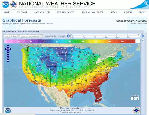 Digital Forecast Map
 Tropical Outlook
 Drought Status
 Air Quality
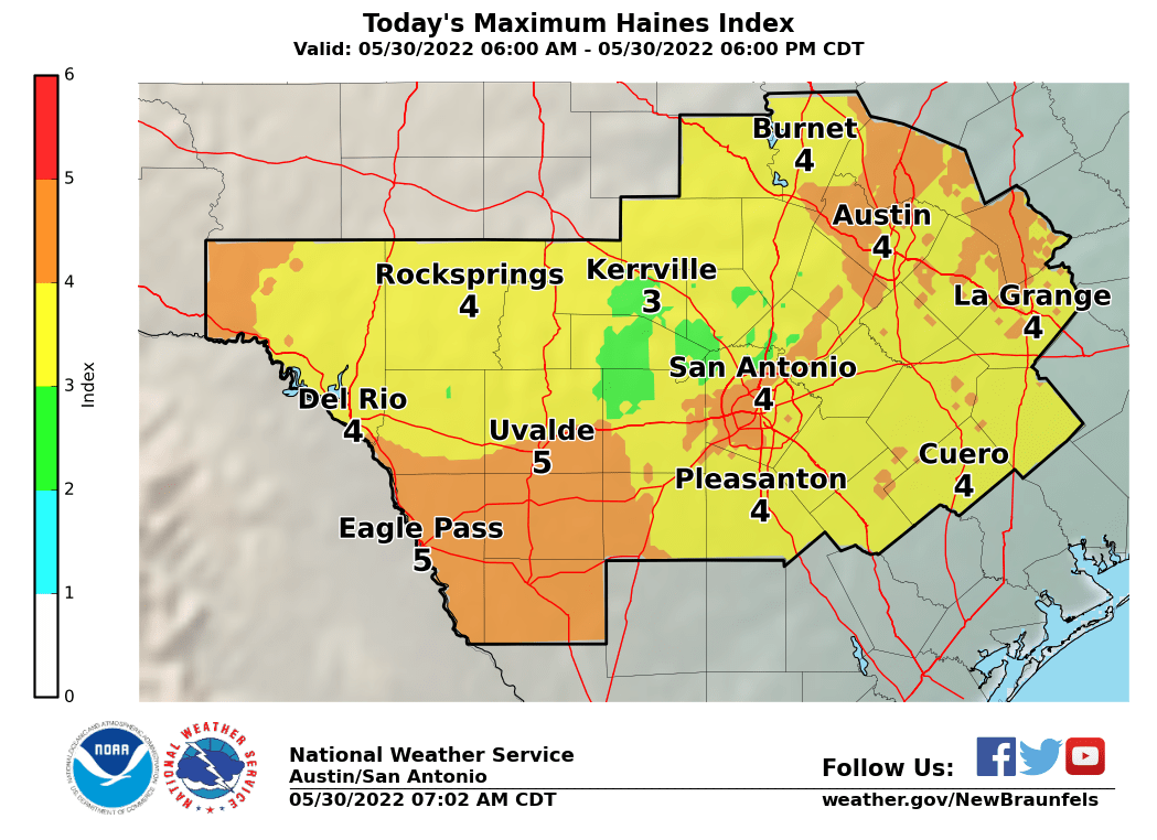 Fire Weather Forecasts
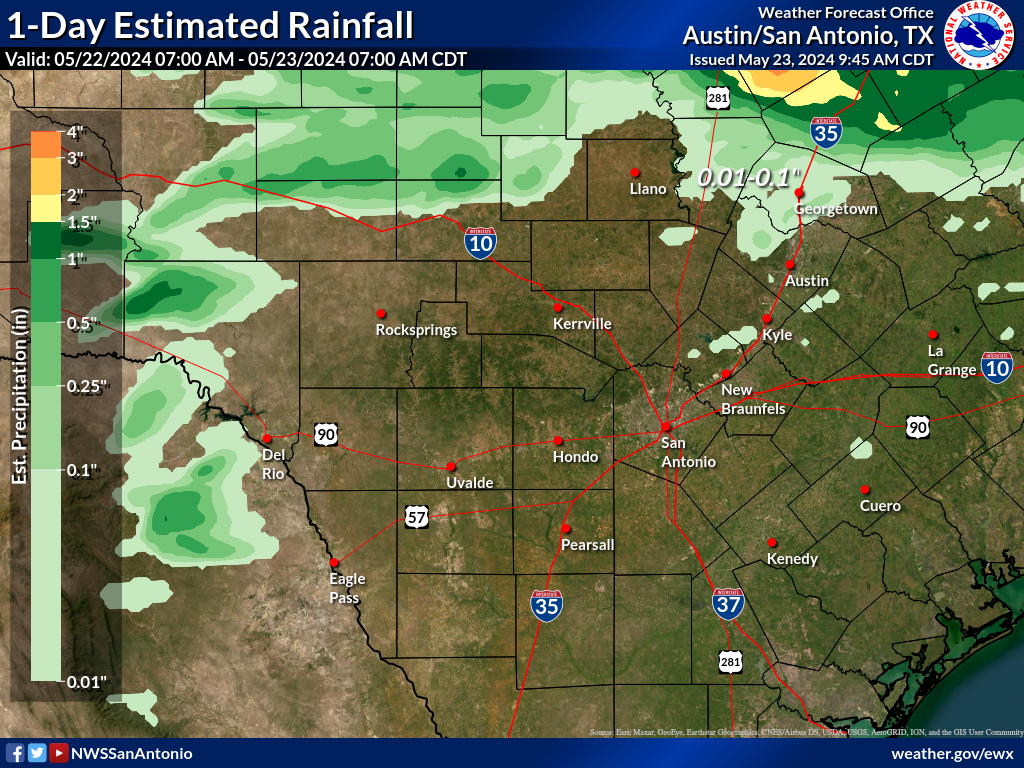 Observed Rainfall
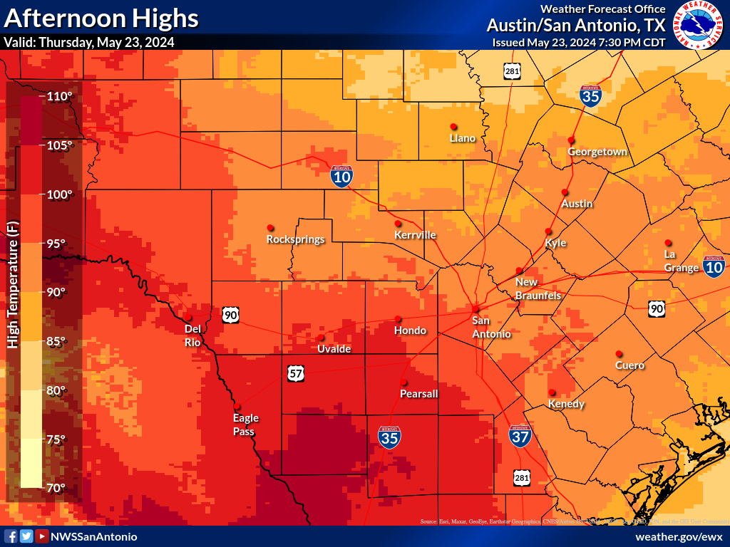 Observed Temperatures
 Daily Climate Graphs
 Follow us on YouTube