
An Enhanced Risk (Level 3 of 5) of severe thunderstorms are expected to develop this afternoon across portions of the Central Plains and Missouri Valley today. Large hail, heavy rain, severe gusts (70+ mph), and a few tornadoes are the primary threats. In the Northern Rockies, the combination of gusty winds and dry conditions will lead to locally critical fire weather conditions. Read More >
Last Map Update: Tue, Apr. 30, 2024 at 10:04:56 am PDT


 nowCOAST Real-Time Observations & Forecasts
 Graphical Forecast
 Satellite
 Las Vegas Radar
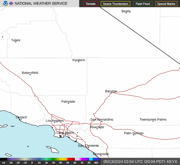 Edwards Radar
 Surface Weather Map
 Social Media
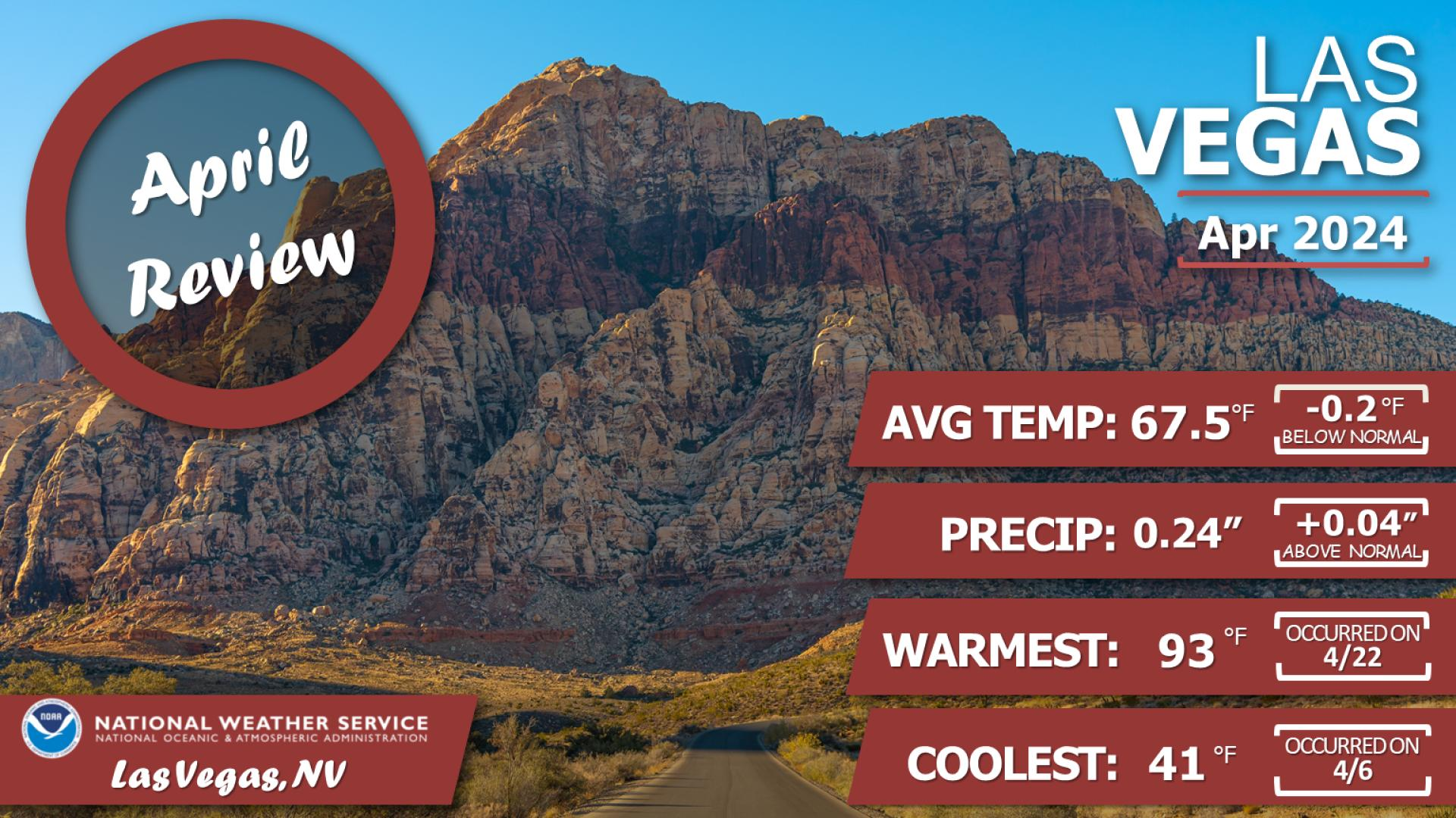
 Las Vegas Daily Climate
 Follow us on YouTube