
A Pacific storm will bring rain and high elevation snow from the Pacific Northwest into the Northern Rockies. A series of storms are expected to move through the Bering Sea bringing strong winds, heavy precipitation, and elevated water levels from the West Coast to northern Alaska. Read More >
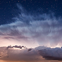
Professional Submissions |
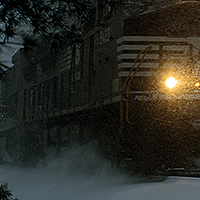
Weather, Water & Climate |
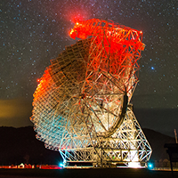
Science in Action |
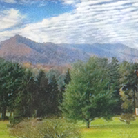
In the iMoment |
|---|
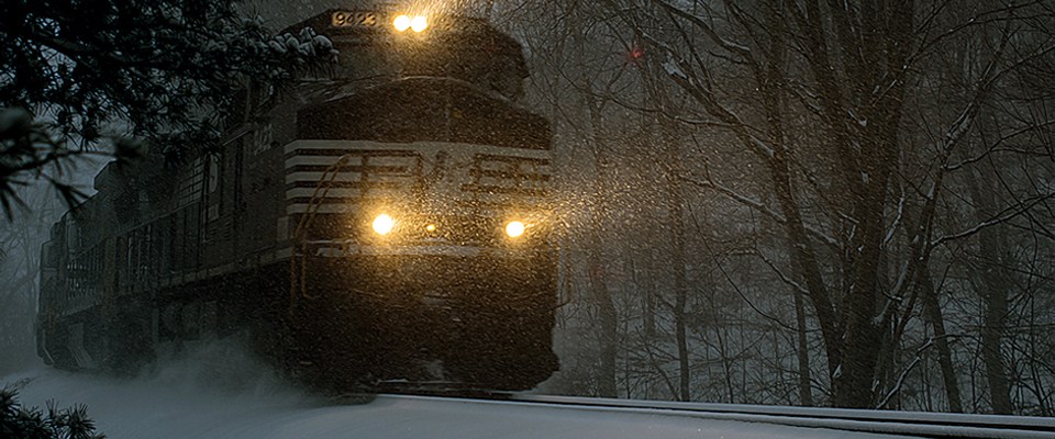
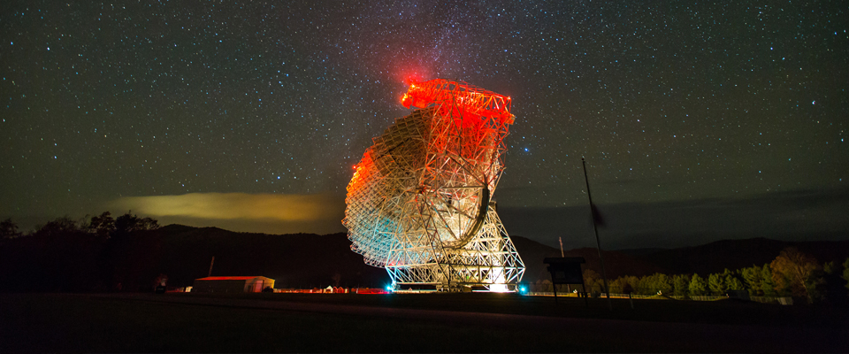
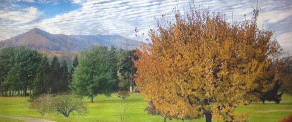
NOAA's "Weather in Focus" photo contest recognized photographers who captured images of weather or the science used to forecast weather, water and climate.
Photo Usage:
The winning photographs are the property of the photographer who took them. For usage agreement, please contact the photographer.




 PHOTOCONTEST RSS Feed