Alaska Aviation Weather Unit
Aviation Weather Unit
|
Channel |
Latest Image |
Loop / Frames |
|---|---|---|
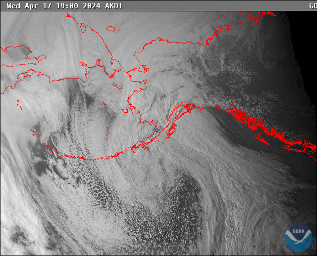
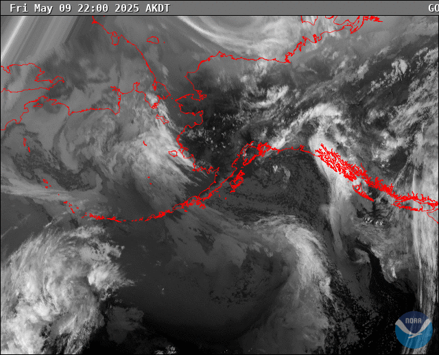
| Visible | 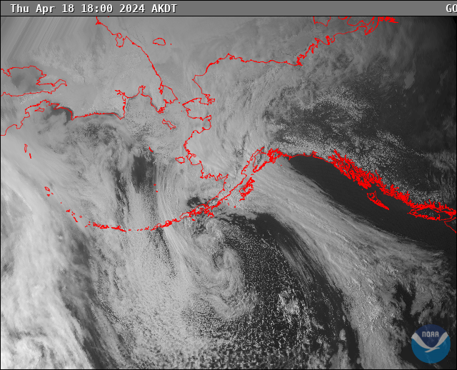 |
Gif | JavaScript |
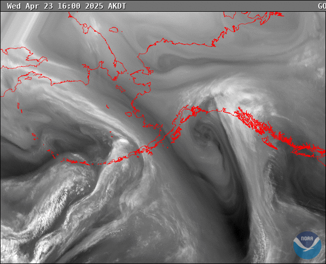
| Infrared | 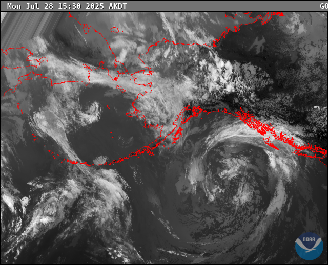 |
Gif | JavaScript |
| Water Vapor |  |
Gif | JavaScript |
US Dept of Commerce
National Oceanic and Atmospheric Administration
National Weather Service
Alaska Aviation Weather Unit
6930 Sand Lake Road
Anchorage, AK 99502
Comments? Questions? Please Contact Us.

