
Severe thunderstorms are expected across portions of the Southeast and Carolinas today where a Slight Risk (Level 2 of 5) has been issued. A Slight Risk Excessive Rainfall Outlook (Level 2 of 4) has been issued for part of the northern Gulf Coast today due to the threat of flash, urban, and riverine flooding. Read More >
|
|
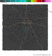
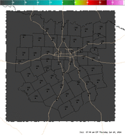
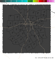
4 Panel Display | Animated Loop Convective Interest This is a highly experimental index which attempts to show areas where surface based convection is favorable or may initiate within the next hour. The index uses a combination of several fields, (CAPE, CIN, low level lapse rates, moisture convergence, satellite, and most unstable LI) to develop a number between -100 and 100. Negative values are indicative of an environment not supportive of surface based convection. The higher the value, the more favorable the environment is for surface based convection. Values greater than 70 are suggestive that convective initiation will likely occur within the next hour in that region. This index works best in regimes of airmass (or pulse) convection or on days where the cap is the primary inhibiting factor for convection. |


 Follow us on YouTube