
A strong Pacific storm continues to track across the Great Basin. Heavy snow is expected across the higher elevations and heavy rain across lower terrain. Strong gusty winds will make for additional hazards for travelers. These winds will bring increasing fire weather concerns for the southern High Plains. Then we will closely watch for severe thunderstorms across the central Plains on Monday. Read More >
Fort Worth/Dallas, TX
Weather Forecast Office
North Texas Climatology
Cooperative Observers
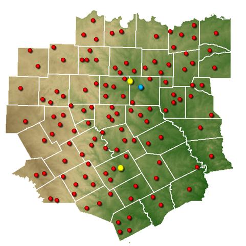
Select a location on the map below or from the menu beneath it.
You will find monthly and annual normals as well as archived precipitation totals.
Selecting either DFW or Waco will provide extensive climatological data.
Current Hazards
Tornado Warnings
Local Storm Reports
Hazardous Weather Outlook
Severe Thunderstorm Warnings
Storm Reports (Graphical)
National Outlooks
Flash Flood Warnings
Submit Storm Report
Tropical
Forecasts
Hazard Planner
Graphical Forecast
Air Quality (DFW)
N. Texas Convective Parameters
Aviation Forecasts
Air Quality (Waco)
Fire Weather
Forecast Discussion
US Dept of Commerce
National Oceanic and Atmospheric Administration
National Weather Service
Fort Worth/Dallas, TX
3401 Northern Cross Blvd.
Fort Worth, TX 76137
817.429.2631
Comments? Questions? Please Contact Us.


 Follow us on YouTube