
Severe thunderstorms are expected across portions of the Southeast and Carolinas today where a Slight Risk (Level 2 of 5) has been issued. A Slight Risk Excessive Rainfall Outlook (Level 2 of 4) has been issued for part of the northern Gulf Coast today due to the threat of flash, urban, and riverine flooding. Read More >
|
|
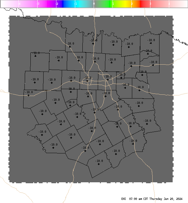
4 Panel Display | Animated Loop EHI The Energy Helicity Index (EHI) is a number which represents the combination of instability and storm relative helicity. Our calculation uses mixed layer CAPE (surface to 3000ft average parcel) and 0-3 km storm relative helicity. Values greater than 2 or 3 have been correlated to cyclonic supercells with increased tornadic potential. Negative values are indicative of an environment favorable for anti-cyclonic (left moving) supercells, but tornadoes associated with anti-cyclonic supercells are extremely rare. |


 Follow us on YouTube