
Severe thunderstorms are expected across portions of the Southeast and Carolinas today where a Slight Risk (Level 2 of 5) has been issued. A Slight Risk Excessive Rainfall Outlook (Level 2 of 4) has been issued for part of the northern Gulf Coast today due to the threat of flash, urban, and riverine flooding. Read More >
|
|
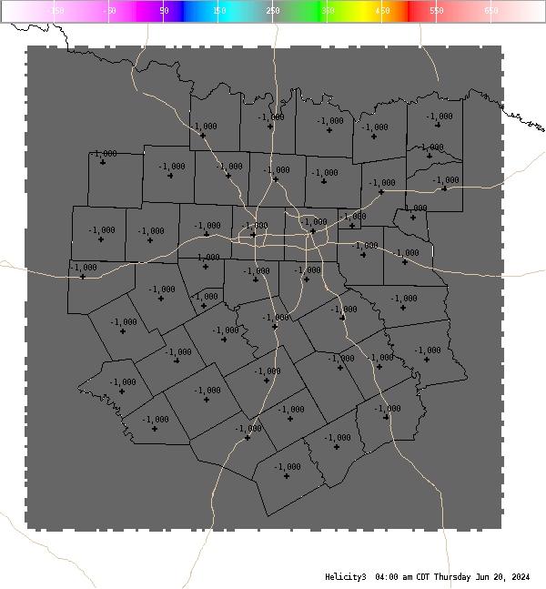
4 Panel Display | Animated Loop Helicity (0-3 Km) This is the 0-3 km (0-10,000 Ft. AGL) storm relative helicity which is a measure of the amount of wind shear available from the ground to roughly 700 MB. Values greater than 250 m**2/s**2 suggest an increased threat of tornadoes, but high values with this index do not necessarily suggest that the environment is supportive of supercell structures (look at 0-6 km shear). Larger values are generally better, but there are no clear "boundaries" between non-tornadic and significant tornadic supercells. Negative values suggest that anti-cylonic (left moving) supercells will dominate. |


 Follow us on YouTube