
Severe thunderstorms are expected across portions of the Southeast and Carolinas today where a Slight Risk (Level 2 of 5) has been issued. A Slight Risk Excessive Rainfall Outlook (Level 2 of 4) has been issued for part of the northern Gulf Coast today due to the threat of flash, urban, and riverine flooding. Read More >
|
|
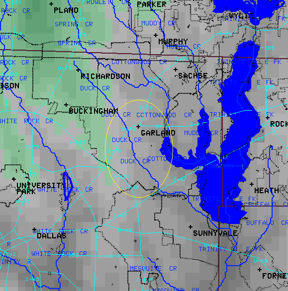
Flash flooding kills more people annually than any other type of severe weather. There are numerous social, educational, and political issues that contribute to the high fatality rates associated with flash flooding. According to the American Meteorology Society (AMS), flash flooding is a “flood that rises and falls quite rapidly with little or no advance warning, usually as the result of intense rainfall over a relatively small area.” But what does that mean? How much rain over how big of an area constitutes a flash flood? Forecasters, the public, the media, storm spotters, and law enforcement officials all have ideas about whether a situation is a flash flood or not. It is ultimately up to National Weather Service (NWS) forecasters to classify whether an event is a flash flood. Storm Data, issued by the National Climatic Data Center, is the official publication for severe weather events. Flash flooding was first documented in Storm Data in 1995. Unlike other severe weather events, such as tornadoes and hail, flash flooding can be caused and exacerbated by high population densities and poorly planned urban infrastructure. This makes flash flooding a unique warning and forecasting challenge as forecasters must take into account more than just meteorological factors. That is why this database, which identifies the most dangerous locations in north Texas, can be a crucial piece of information for issuing effective warnings. In addition, findings from this study may be incorporated into warning templates, thereby strengthening the public’s perception of danger and hopefully saving lives. |
|


 Follow us on YouTube