
Heavy to excessive rainfall is forecast for eastern Louisiana into central Alabama which could bring flash, urban, and riverine flooding Friday. Scattered severe thunderstorms with a few tornadoes, very large hail, and damaging winds are possible across parts of the Gulf Coast States Friday and Friday night. Read More >
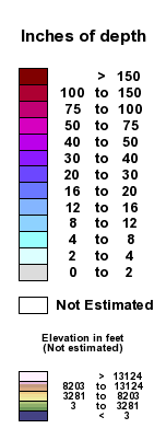
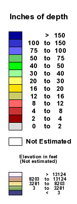
Upper Michigan Snow Depth |
|
| Snow Depth | Snow Depth - High Contrast |
 |
| (Click anywhere on Upper Michigan to zoom in) |
|
For an interactive version of this map, please visit National Operational Hydrologic Remote Sensing (NOHRSC) |
|
This map is created using observed snow depth from National Weather Service trained observers, satellite information and aerial snow surveys. This map is a product of the National Operational Hydrologic Remote Sensing office located in Chanhassen, MN. Note: Snow depth values may be derived from yesterdays reports depending on the frequency of observations that are received by the National Weather Service and the times when the above map is created by the National Operational Hydrologic Remote Sensing Center. |
If you have any questions or comments about this site please email us at: nws.marquette@noaa.gov


 Follow us on YouTube