Overview
|
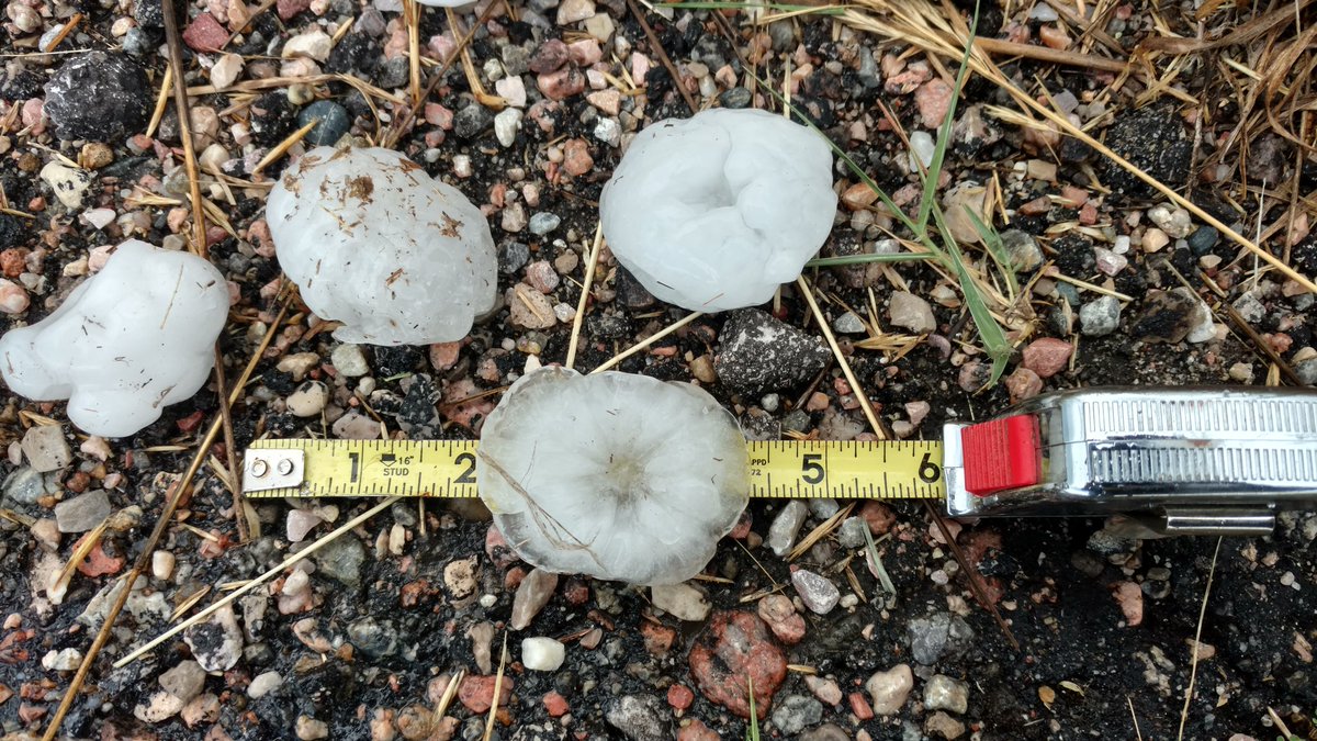
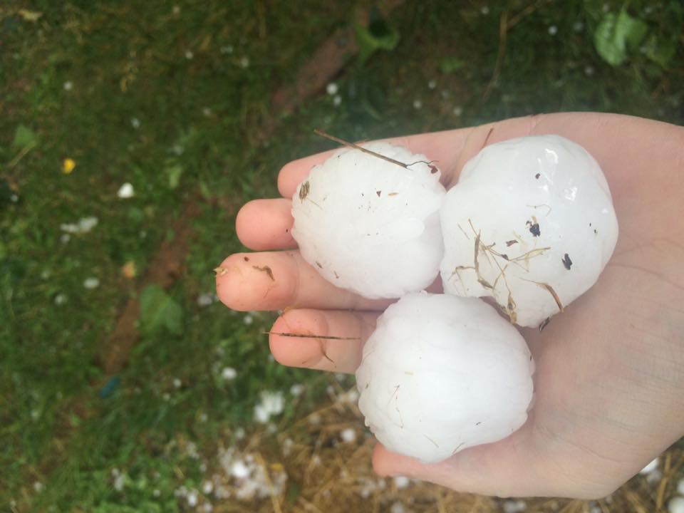
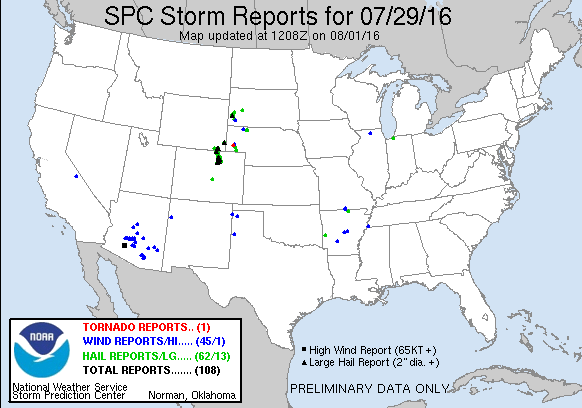
A significant hailstorm impacted Cheyenne, Wyoming on the afternoon of July 29, 2016. Hailstones ranged from golf ball to baseball size as a supercell thunderstorm moved south through the city. The hailstorm formed north of Cheyenne and intensified quickly as it moved south. The largest hailstones fell over western portions of Cheyenne, including Frontier Park and F.E. Warren Air Force Base. The supercell thunderstorm produced a persistent rotating wall cloud, however no tornadoes developed. Many vehicles around Frontier Park were heavily damaged with cracked windshields. Many homes along and west of Interstate 25 sustained significant roof, siding and roof damage. Two persons were injured at Frontier Park. |
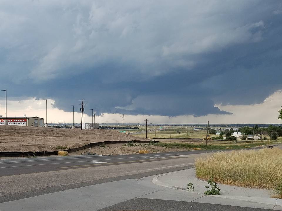
Supercell thunderstorm moving over F.E. Warren AFB Credit: Jason Alter |
 |
 |
 |
|
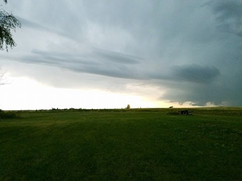
Storm near Cheyenne Credit: Ashley McMillen |
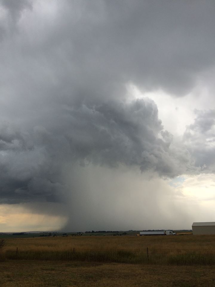
Storm from the backside taken north of Cheyenne. Hail pouring out of the storm Credit: Tammy Hunter |
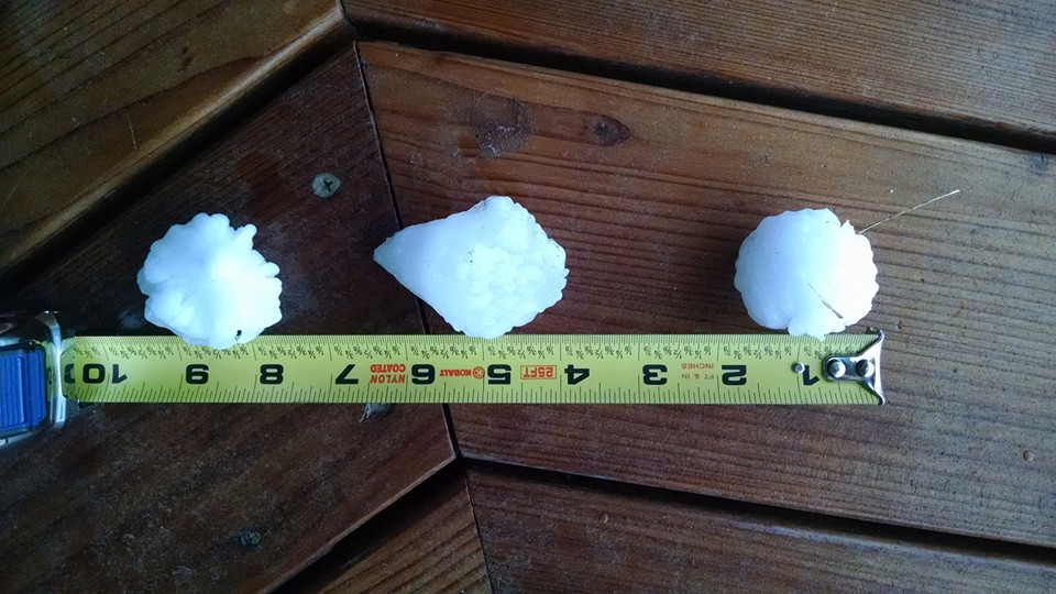
Hail from College and South Greeley Highway Credit: Anna Swank |
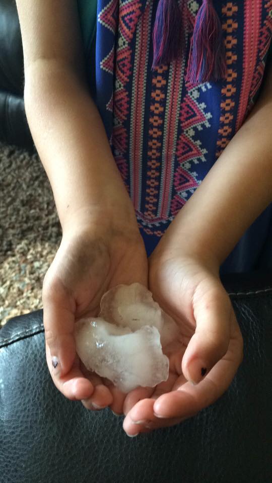
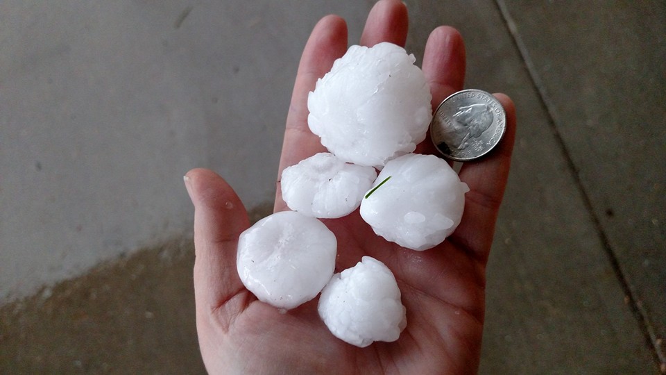
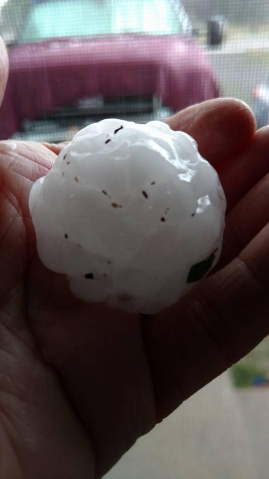
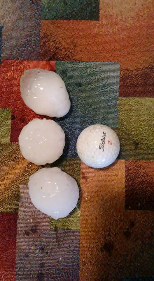
Cheyenne Hail Pictures
 |
 |
 |
 |
|
Hailstones at F.E Warren AFB Credit: Jennifer Stowers |
Quarter to golf ball size hail along Capital Avenue Credit: Leslie Zimmerschied |
Orchard Valley hailstones Credit: Shannon Parsons |
Golf ball size hail 3 miles west of Horse Creek Credit: Tim Lockwood |
 |
 |
|
Hail over 2 inches in diameter fell over highway 85, 3 miles northwest of La Grange Credit: Dan Fitts |
Winchester Hills Subdivision hail Credit: Allison Hahn |
Radar:
 |
|
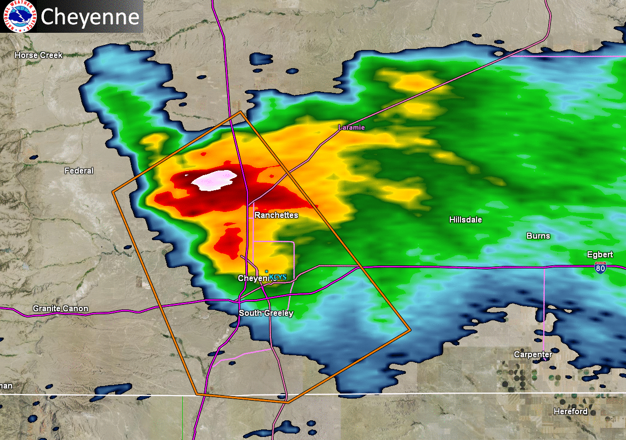
Reflectivity image loop from 4:02 PM to 5:04 PM as the supercell thunderstorm moved to the south over Cheyenne, WY. |
Storm Reports
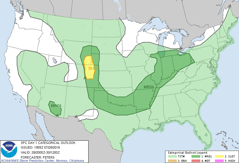
Storm Prediction Center Outlooks
 |
 |
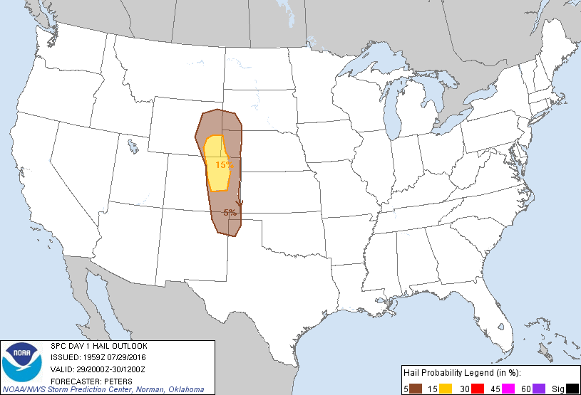 |
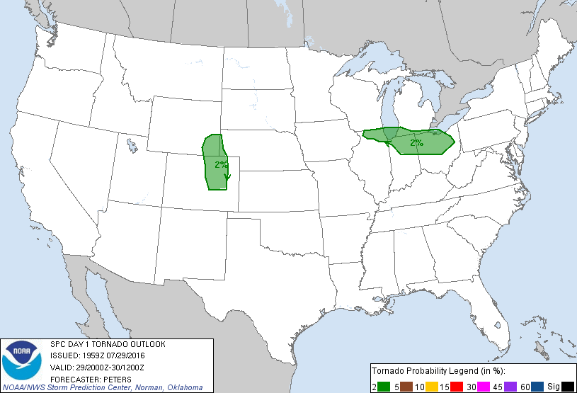
| SPC Day 1 Categorical Outlook | SPC Day 1 Tornado Outlook | SPC Day 1 Hail Outlook |
Storm Reports
 |
|
||||||||||
| Storm Reports |
 |
Media use of NWS Web News Stories is encouraged! Please acknowledge the NWS as the source of any news information accessed from this site. |
|


 Weather Story
 Weather Map
 Local Radar
 Follow us on YouTube