
A Moderate Risk (Level 3 of 4) Excessive Rainfall Outlook and Flood Watches have been issued for portions of east Texas into Louisiana Thursday where flash, urban, and riverine flooding is possible. A Slight Risk (Level 2 of 5) for scattered severe thunderstorms has been issued from west Texas to the lower Mississippi Valley Thursday afternoon into Thursday night. Read More >
Kiln, MS Tornado - April 10, 2024
|
Rating:
|
EF-0
|
|
Estimated Maximum Wind:
|
85 mph
|
|
Injuries/Fatalities:
|
None
|
|
Damage Path Length:
|
2.79 miles
|
|
Maximum Path Width:
|
150 yards
|
|
Approximate Start Point/Time:
|
2 miles NNW of Kiln, MS at 1031 AM CDT
|
|
Approximate End Point/Time:
|
2 mile NE of Kiln, MS at 1034 AM CDT
|
|
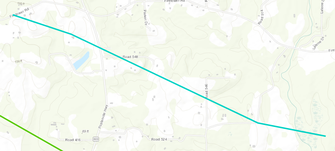
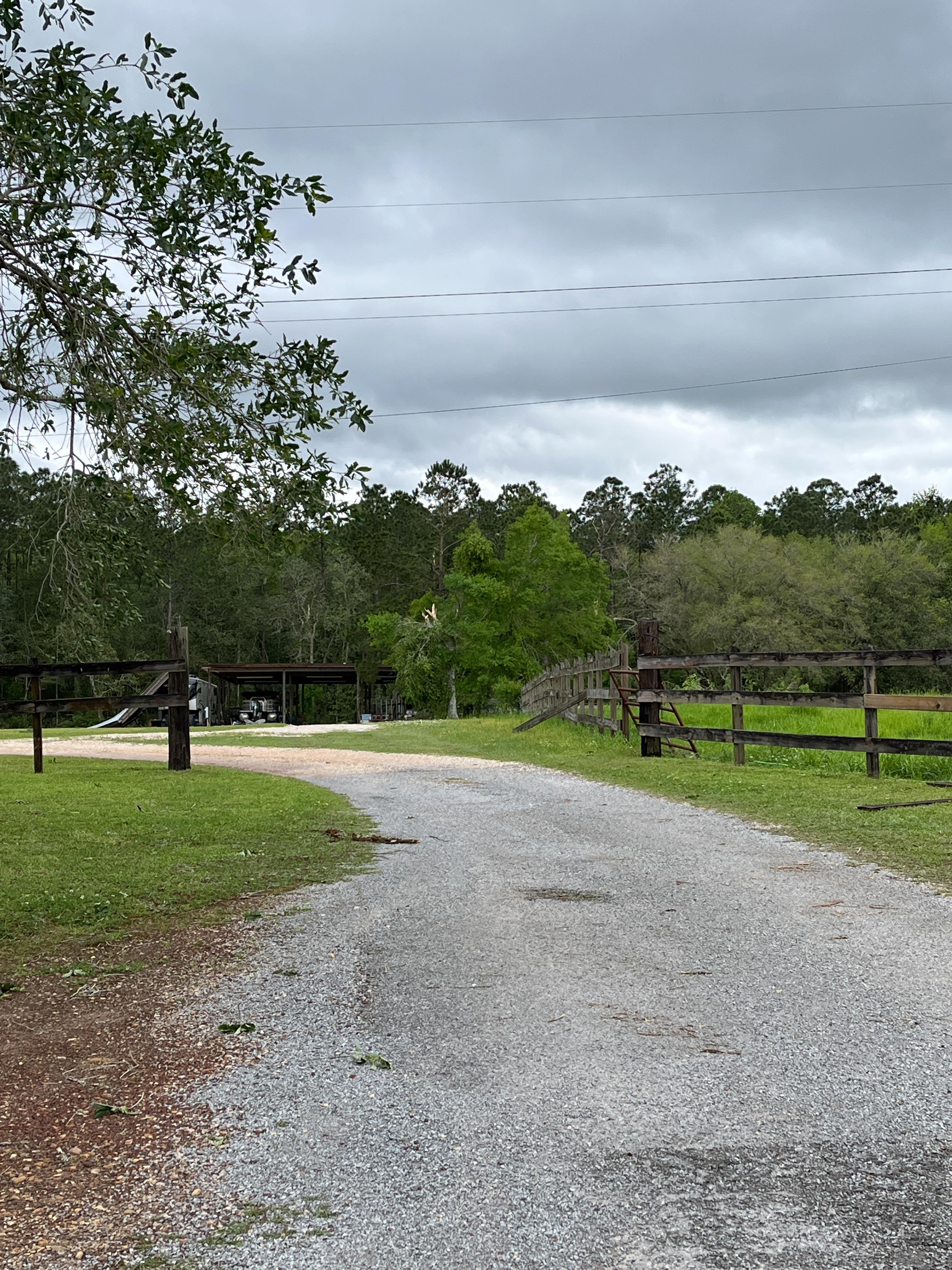
A National Weather Service Damage Assessment Team has surveyed the storm damage in Kiln, MS. It has been determined the damage was the result of a tornado. The tornado has been rated an EF-0 on the Enhanced Fujita Scale. Damage estimates were consistent with winds of 100 mph. High resolution satellite imagery aided in identifying yet another embedded tornado that trailed the parent mesovortex that tracked through the area. More localized tree damage in addition to an evident damage path on NDVI differencing helped to confirm the existence of this tornado which tracked from Firetower Road east-southeastward to Old Joe Moran Road. The end point is estimated per satellite imagery which occurred over inaccessible rural lands. |
|
|
|
|
||||||||||


 Follow us on YouTube