
A Moderate Risk (Level 3 of 4) Excessive Rainfall Outlook and Flood Watches have been issued for portions of east Texas into Louisiana Thursday where flash, urban, and riverine flooding is possible. A Slight Risk (Level 2 of 5) for scattered severe thunderstorms has been issued from west Texas to the lower Mississippi Valley Thursday afternoon into Thursday night. Read More >
Rural Jackson County, MS Tornado - April 10, 2024
|
Rating:
|
EF-Unknown
|
|
Estimated Maximum Wind:
|
Unknown
|
|
Injuries/Fatalities:
|
None
|
|
Damage Path Length:
|
2.22 miles
|
|
Maximum Path Width:
|
75 yards
|
|
Approximate Start Point/Time:
|
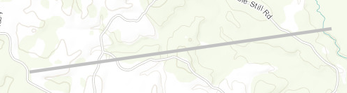
10 miles WNW of Vancleave, MS at 1114 AM CDT
|
|
Approximate End Point/Time:
|
8 miles WNW of Vancleave, MS at 1116 AM CDT
|
|
A National Weather Service Damage Assessment Team has surveyed the storm damage in Rural Jackson County, MS. It has been determined the damage was the result of a tornado. The tornado has been rated an EF-U on the Enhanced Fujita Scale. No damage estimate was made due to lack of road access, and no wind speed determination can be made. An apparent damage path visible on high resolution satellite imagery via NDVI differencing in conjunction with KMOB radar imagery helped to confirm the existence of a weak tornado that tracked through rural parts of the Jackson County on April 10, 2024. No damage indicators could be identified with this analysis and the tornado thus could not be rated. |
|
|


 Follow us on YouTube