
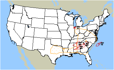
Strong to severe thunderstorms capable of producing large hail, gusty winds and heavy rainfall will be possible over the next few days from New Mexico to Texas, into western Mississippi. Additional heavy rainfall over previously saturated soils may lead to flash and urban flooding. Isolated thunderstorms will also be possible across portions of the Midwest. Read More >
 |
||
|
Click here for the latest regional surface plot.
|
 SIGMETS: ICE | TURB | IFR | CONV | ALL |
|
|---|
|
Cleveland Center Weather Service Unit (CWSU)
|
| Mission: Our main responsibility is to provide up to the minute weather information to FAA Supervisors and the ZOB Traffic Management Unit (TMU). Some of the products issued by the CWSU are the Center Weather Advisories (CWA) and the Meteorological Impact Statement (MIS). The CWA is an aviation weather warning for thunderstorms, severe icing or turbulence, and low IFR ceilings and visibility. The MIS is a 2-12 hour forecast for weather conditions, which are expected to impact ARTCC operations. |
|


