
CoCoRaHS Is Here!
What IS CoCoRaHS?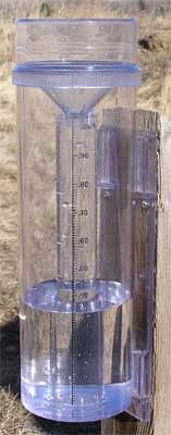
There is a new way to let the National Weather Service know how much rain, hail, or snow you've measured in your back yard! The Community Collaborative Rain, Hail, and Snow (CoCoRaHS) Network is here. CoCoRaHS is a unique, non-profit, community-based network of volunteers of all ages and backgrounds working together to measure and map precipitation (rain, hail and snow). The program will help meteorologists, hydrologists, and researchers study the variability of precipitation across the United States, and the accumulated data will be available to anyone with a use or interest in precipitation data.
How does ABRFC use CoCoRaHS data?
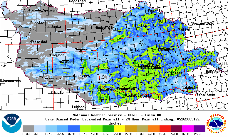
For precipitation estimation, ABRFC uses a combination of basin-wide NEXRAD radar estimates and rainfall gages for ground truth. Rainfall gages help us determine how closely the radar is estimating rainfall. This precipitation estimation is then used in our hydrologic models for river forecasting.
Sounds great! How can I sign up?
To find out more, visit the CoCoRaHS web site. If you'd like to sign up, just visit the web site and click on "Join CoCoRaHS" to register as a reporting site. Once you register and begin to report, your observations will become part of the record and will be plotted on maps of your county and state. You can view the maps and see how your observation fits in with your neighbors.
If you decide to sign up, we encourage you to go through the online training located on the CoCoRaHS web site. It will detail proper gage siting techniques as well as other program information. Note that you will need to provide your own rain gage (you can purchase one through CoCoRaHS, and more details can be found on the CoCoRaHS site.)

