 |
 |
 |
 |
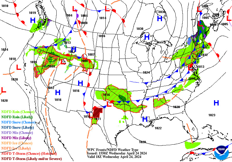
| Latest Surface Analysis | |
|---|---|
 |
|
| 6-Hour Surface Forecast | 12-Hour Surface Forecast |
 |
 |
| 18-Hour Surface Forecast | 24-Hour Surface Forecast |
 |
 |
| 30-Hour Surface Forecast | 36-Hour Surface Forecast |
 |
 |
| 48-Hour Surface Forecast | 60-Hour Surface Forecast |
 |
 |
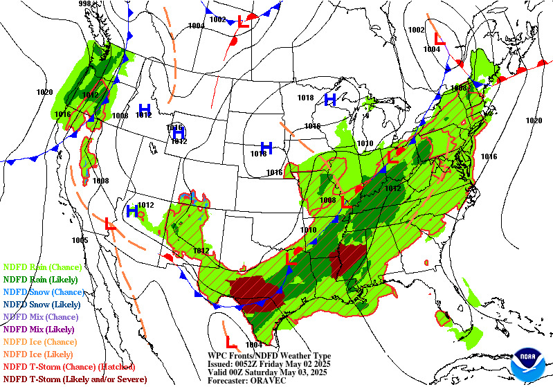
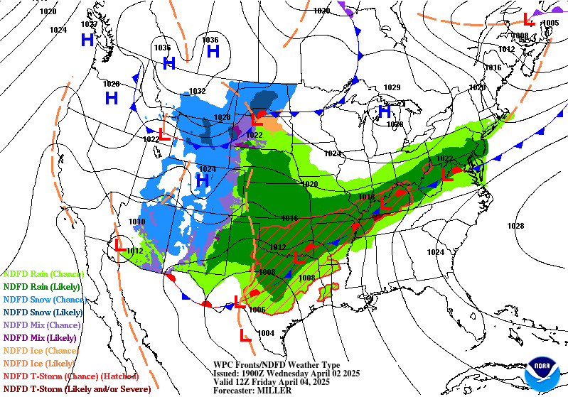
| Day 3 Surface Forecast | Day 4 Surface Forecast |
 |
 |
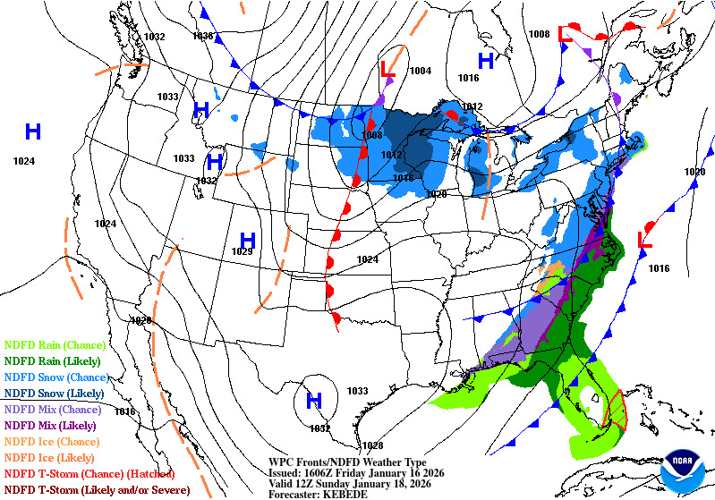
| Day 5 Surface Forecast | Day 6 Surface Forecast |
 |
 |
| Day 7 Surface Forecast | |
 |
|


 Follow us on YouTube