
Luverne, AL Macroburst and EF-0 Tornado
April 3, 2017
Summary of all Local Storm Reports (LSRs) across the area on April 3rd and LSRs across the region for this event.
...NWS Damage Survey For The 04/03/2017 Luverne, AL Tornado...
|
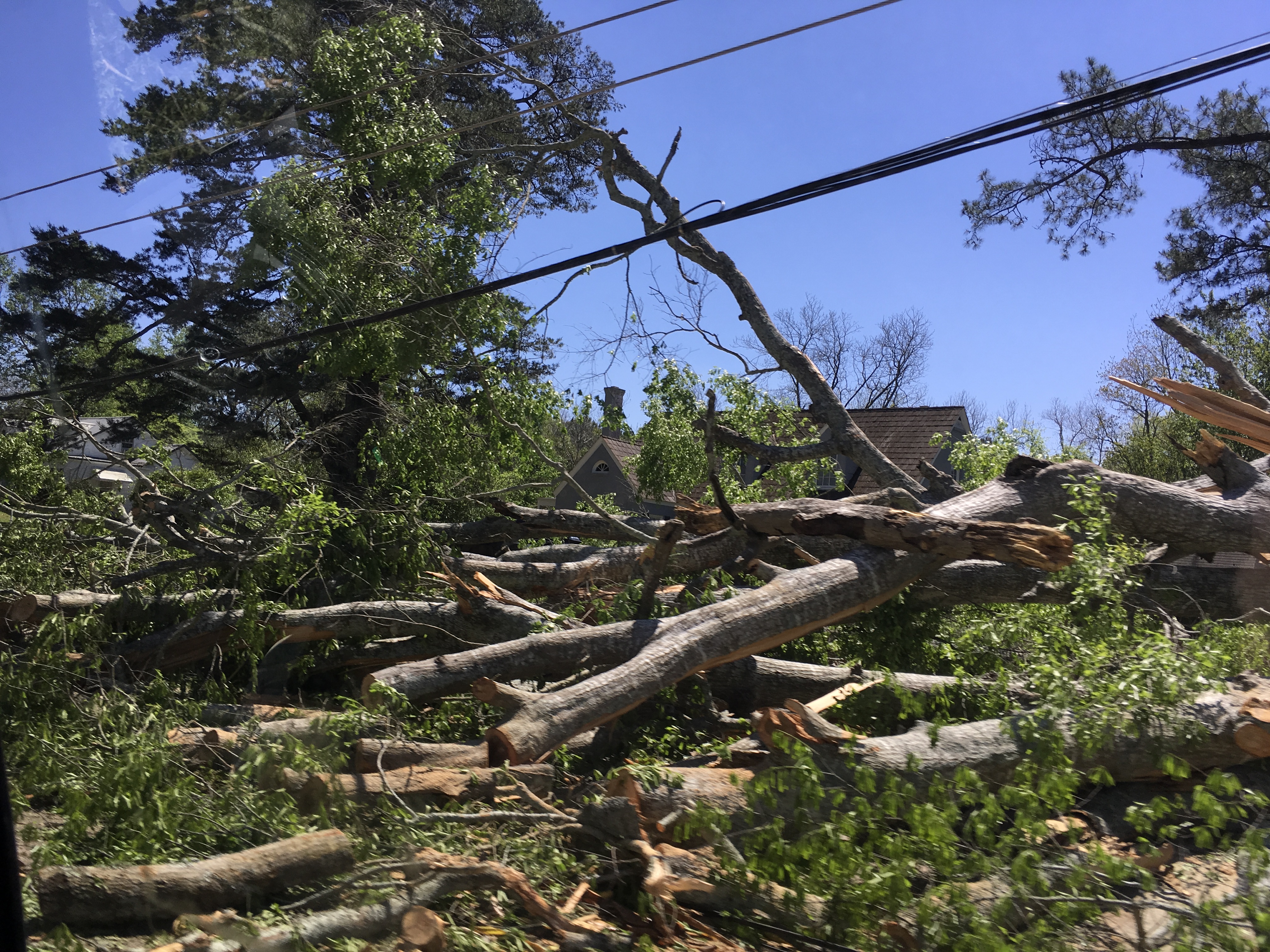
Luverne, AL Tornado... Overview: The National Weather Service in Mobile conducted a survey of the damage experienced in Luverne, Alabama on the morning of April 3rd. The team found that a large area of straight line winds impacted the city of Luverne and surrounding areas along with an embedded EF-0 tornado. The data below represents the start and end points for the EF-0 tornado. Additional information regarding the large area of straight line winds can be found in the additional details below. Rating: EF-0 Start Date: April 3 2017 End Date: April 3 2017 Survey summary: Most of the damage in the city of Luverne was produced by a corridor of enhanced straight line winds with top winds estimated as high as 90 mph. Significant tree and power line damage was observed in the city with a few homes suffering significant shingle damage. A few homes were also damaged by fallen trees. A few businesses in downtown Luverne suffered major roof loss. The greatest damage occurred on Fourth Street where a single wide mobile home was pushed off its unanchored foundation and destroyed. A brief EF-0 tornado developed on East 1st Street just north of Highway 10. The tornado uprooted a few trees and caused some minor shingle damage. It should also be noted that a few areas of significant tree damage was also observed to the west and southwest of Luverne. |
||||||||||
EF Scale: The Enhanced Fujita Scale classifies tornadoes into the following categories.
EF0...Weak......65 to 85 mph
EF1...Weak......86 to 110 mph
EF2...Strong....111 to 135 mph
EF3...Strong....136 to 165 mph
EF4...Violent...166 to 200 mph
EF5...Violent...>200 mph
Note: The information in this statement is preliminary and subject to change pending final review of the event and publication in NWS Storm Data.
Acknowledgements: Page created by Morgan Barry (Forecaster).
LAST UPDATED: December 2017


 Follow us on YouTube