|
On Friday afternoon April 11, 2008, a lone thunderstorm developed along an advancing cold front just north of Lake Charles near Gillis, LA. As the thunderstorm moved east following the frontal boundary and basically US-190, the thunderstorm split into 2 separate storms upon entering extreme southern Jeff Davis parish across Southwest Louisiana. The northern storm eventually dissipated, while the southern storm began to move due east, exhibiting characteristics of a right-moving supercell. The strong thunderstorm continued to grow and a severe thunderstorm warning was issued at 3:19 PM CDT. The severe thunderstorm continued on a track just north of US 190 moving almost due east now, and continued to get better organized, with rotation beginning to form within the 0.5 degree elevation velocity (Storm Relative Motion) product. Thus, the severe thunderstorm warning was upgraded to a tornado warning at 3:45 PM CDT. The severe thunderstorm resulted in a couple of EF0 tornadoes across southern Evangeline, western and central St. Landry parishes, along with straight line wind damage. Click here for the complete Local Storm Reports and survey results. |
||
|
|
||
 |
||
|
Map of tornado tracks across Acadiana. Click image or here for higher resolution.
|
||
|
|
||
 |
||
|
WSR-88D reflectivity radar image from NWS Lake Charles. Click image or here for animation.
|
||
 |
||
|
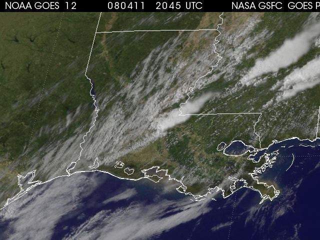
1km Visible GOES 12 satellite image. Click image or here for animation (Windows Media Format).
|
||
|
Storm survey photos.
Click image for higher resolution. |
||
 |
 |
 |
 |
 |
 |
 |
 |
 |


 Follow us on YouTube