|
Day 1 Outlook
SPC Outlooks: Day 1(click to enlarge)
Forecasts & Observations
Point Fire Weather Forecasts
Barnhart
Coleman
Colorado Bend
Hamby
Mason
Paint Creek
Routine Products
Fire Weather Planning Forecast
Fire Weather Point Forecast Matrices
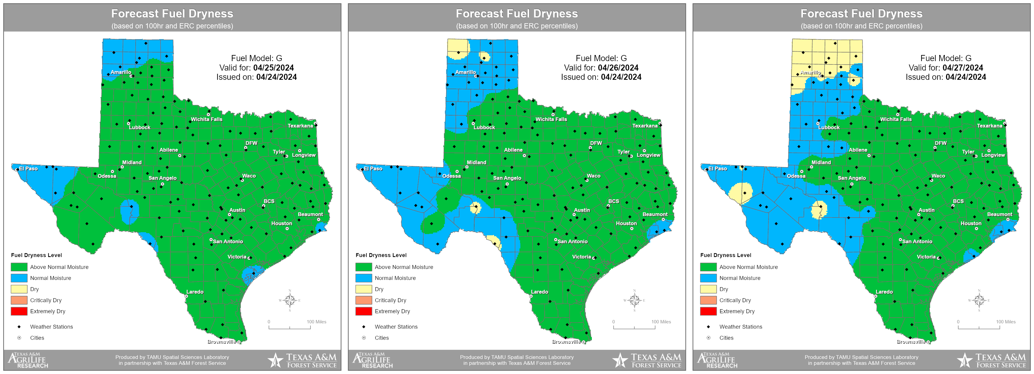
NFDRS Forecasts
Weather Activity Planner
NFDRS Digital Forecast Images
Non-Routine Products
Fire Weather Watch / Red Flag Warning
Rangeland Fire Danger Statement
*Spot Forecast Request*
For questions on how to submit a Spot Forecast, call 325-944-9445 to speak with a NWS San Angelo Fire Weather
Forecaster.
Fire Weather (RAWS) Observations
(Winds reported at 20 foot level)
Texas RAWS
- Barnhart
- Coleman
- Colorado Bend
- Hamby
- Mason
- Paint Creek
- Comanche
- Miller Creek
- Merrill
METAR Observations
(Winds reported at 33 foot level)
Abilene
Sweetwater
Brownwood
San Angelo
Coleman
Brady
Sonora
Junction
Ozona
Mesonet Observations
West Texas Mesonet (Texas Tech University)
Met. Data - Map
MesoWest (University of Utah)
|
Day 2 Outlook
SPC Outlooks: Day 2(click to enlarge)
Other NOAA/NWS Links
NWS Graphical Forecasts
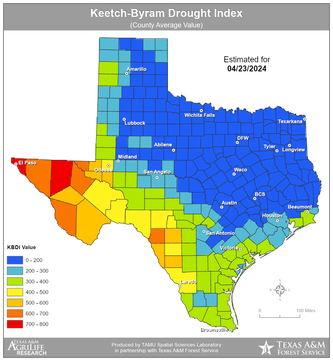
West Central Texas Drought Information
NWS National Fire Weather Page
NOAA Air Resources Laboratory
USFS & Other Links
U.S. Forest Service
National Interagency Fire Center
National Interagency Coordination Center
Wildland Fire Assessment System
National Interactive Fire Danger Map
Natural Resources Conservation Service
Observation Collectives
MesoWest Roundup (Mixed obs)
Regional Roundup (METARS only)
Fire and Smoke Analysis - NESDIS/Satellite Services
Interactive GIS Display
Hazard Mapping System Fire/Smoke Product
Red Flag Warning Criteria for West Central Texas
1. 20 Foot sustained winds equal to or greater than 20 mph for one or more hours
2. Minimum relative humidity less than 20 percent
3. Abnormally dry fuels & High Fire Danger
|


 Virtual Tour
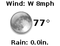 Current Observations
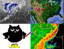 Weather Briefing
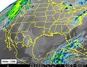 Satellite Loops
 Past Weather Reports
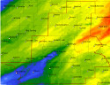 Past Rainfall Maps
 Climate And Drought
 River & Lake Levels
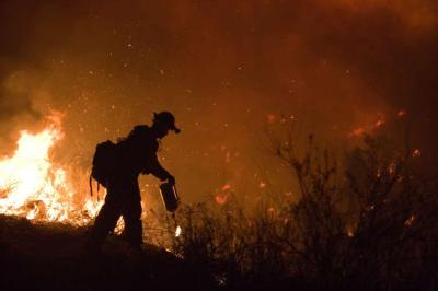
 Fire Weather
 Aviation Weather
 Additional Resources
 Social Media