| Tornado Statistics | ||||||||
| # | Counties | Rating | Time (CST) | Length (miles) | Width (yards) | Fatalities | Injuries | |
| 1 | Wilson/DeKalb | F3 | 831 PM | 15 miles | 200 yards | 0 | 3 | |
| Overview | |
|
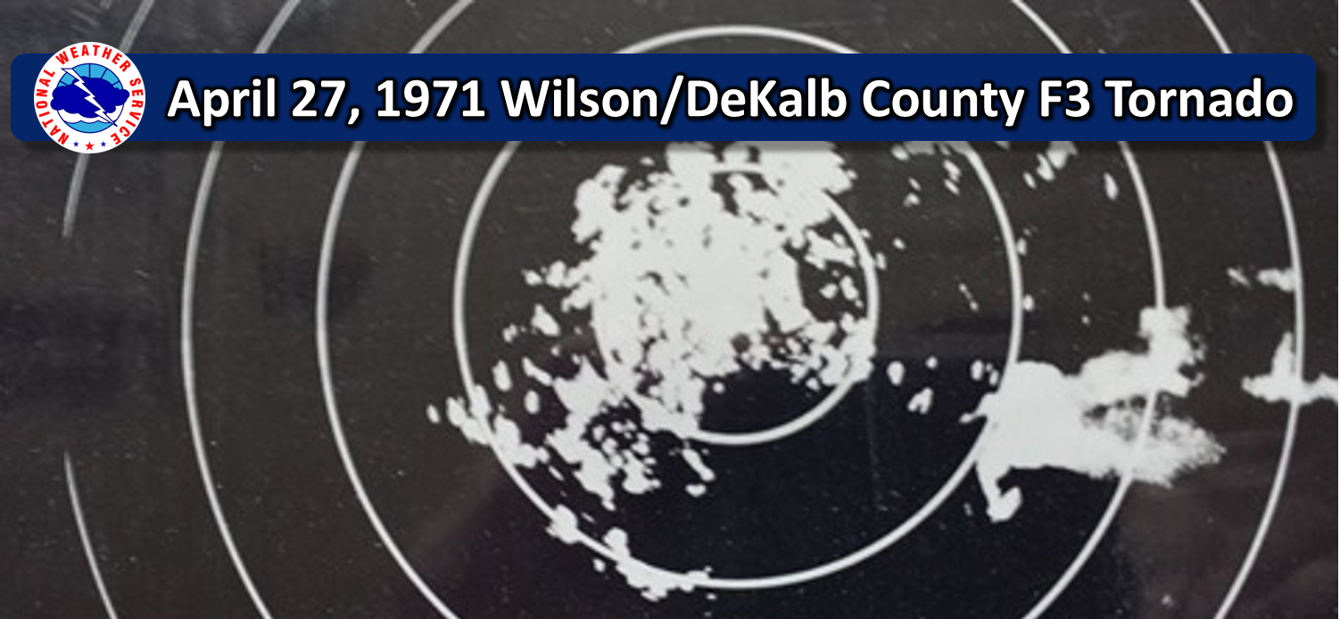
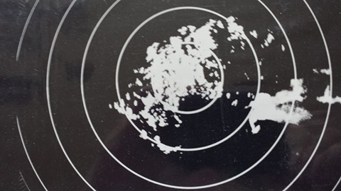
by Bobby Boyd, (retired) NWS Nashville forecaster I was working the WSR-57 radar the evening of April 27, 1971 when a weak cool front moved down into northern Middle Tennessee. A cell developed just southeast of the office and rapidly intensified into a supercell about 12 miles southeast of the office (located at the Nashville Airport). This was the only storm I had on radar at the time. You can see the hook echo in the photographs that I took off the repeater scope. Also note the V-notch. |
| Radar | |
 |
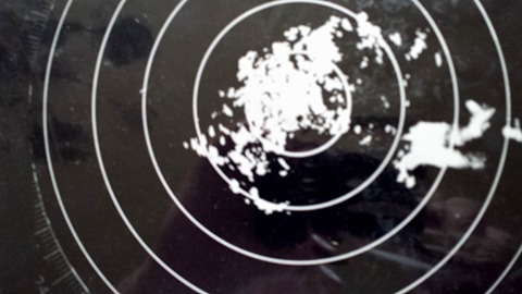 |
| Nashville WSR-57 Radar Image at 819 PM CST showing a classic supercell and hook echo southeast of Nashville | Nashville WSR-57 Radar Image at 823 PM CST showing a classic supercell and hook echo southeast of Nashville |
| Reports & Outlooks | |||
| SPC Online Database |
| F3 Prosperity/Liberty Tornado | |
| Counties: | Wilson/DeKalb |
| Time: | 831 PM |
| F Scale: | F3 |
| Damage Path Length: | 15 miles |
| Damage Path Width: | 200 yards |
| Fatalities: | 0 |
| Injuries | 3 |
|
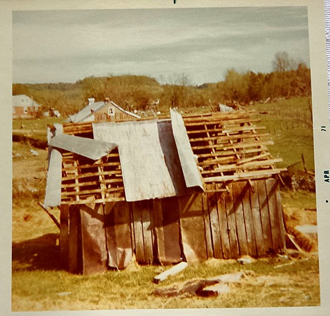
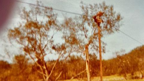
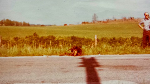
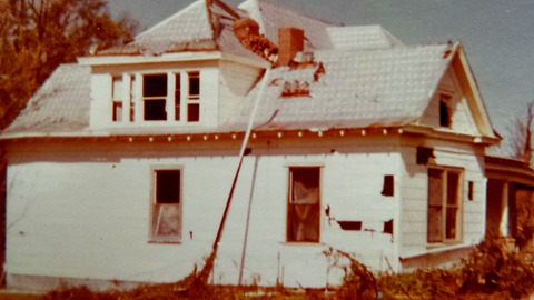
From Storm Data April 1971 publication: Storm moved from west to east. A tornado skipped across the southern part of Wilson and De Kalb Counties, resulting in considerable property damage. The tornado touched down in various sections of Prosperity and Liberty communities. At Liberty, the tornado cut a path 300 yards wide and 500 to 600 yards long. There was a brief skip then the tornado touched down at 8:35 pm, 2.5 miles south of Liberty. Storm damage at Prosperity included 8 houses, 10 large barns and a large brick church severely damaged, 3 barns destroyed 14 miscellaneous farm buildings destroyed, 6 automobiles damaged, and 2 mules were killed. At Liberty, 2 houses were destroyed, 1 house was unroofed, and 2 barns were destroyed. Trees and utilities suffered extensive damage, and hail of golf-ball size damaged automobiles near Cedars of Lebanon State Park. Observed also by Nashville radar, the path of the cell began at a point approximately 25 miles east-southeast of the Nashville Metropolitan Airport and ended about 40 miles east-southeast of the Airport. The tornado caused an estimated $150,000 damage to property, while damage to crops due to hail and wind was not available. |
|
|
Damage Photos in Prosperity, TN (by Bobby Boyd, retired NWS Nashville forecaster) |
|
 |
 |
 |
 |



 Follow us on X
 Follow us on Facebook
 Follow us on YouTube
 OHX RSS Feed