| March 31, 2016 Severe Weather and Tornadoes |
 |
| Overview |
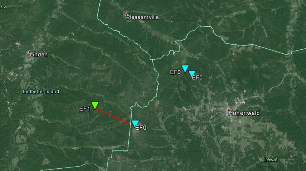
| After ample rainfall had affected Middle Tennessee the morning of this event, conditions somewhat recovered ahead of a strong cold front, allowing for strong to severe thunderstorms to develop ahead of the frontal boundary. A broken line of severe thunderstorms developed along a cold front across western Tennessee, which then moved across Middle Tennessee before exiting the region overnight. These storms brought a little bit of everything to mainly southern Middle Tennessee, where large hail, damaging winds and flash flooding occurred. In addition, two weak tornadoes briefly touched down in eastern Perry County and northwest Lewis County. |
| Reports & Outlooks | |||
| SPC Storm Reports | SPC Event Archive | Local Storm Reports | Public Information Statements |
| EF1 Perry/Lewis County Tornado | |
| Counties: | Perry and Lewis |
| Time: | 431 PM - 438 PM |
| Wind Speed Estimate: | 90 MPH |
| Damage Path Length: | 4 miles |
| Damage Path Width: | 350 yards |
| Description: An EF1 tornado touched down about 7 miles southeast of Linden in eastern Perry County. It weakened to an EF-0 in far western Lewis County before lifting. The tornado touched down in Boneyard Hollow where several hundred trees were uprooted, snapped, or downed along its path before entering Lewis County. The tornado weakened to an EF0 there and damaged an outbuilding before lifting 7 miles west of Hohenwald. At its peak, the tornado path width was 350 yards and winds were estimated at 90 mph. The tornado path length was approximately 4 miles. This was the first tornado on record to affect Perry County in the month of March. |
|
Survey Photos by NWS Nashville: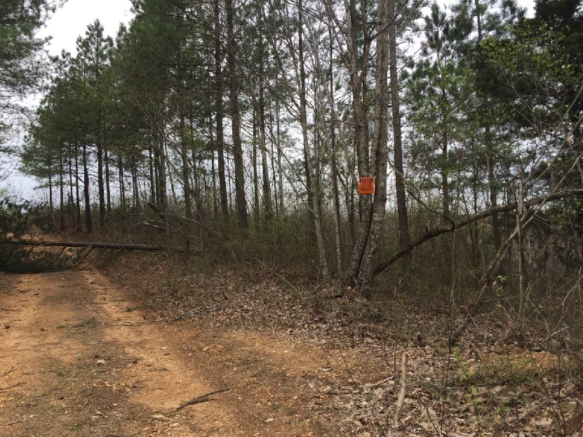 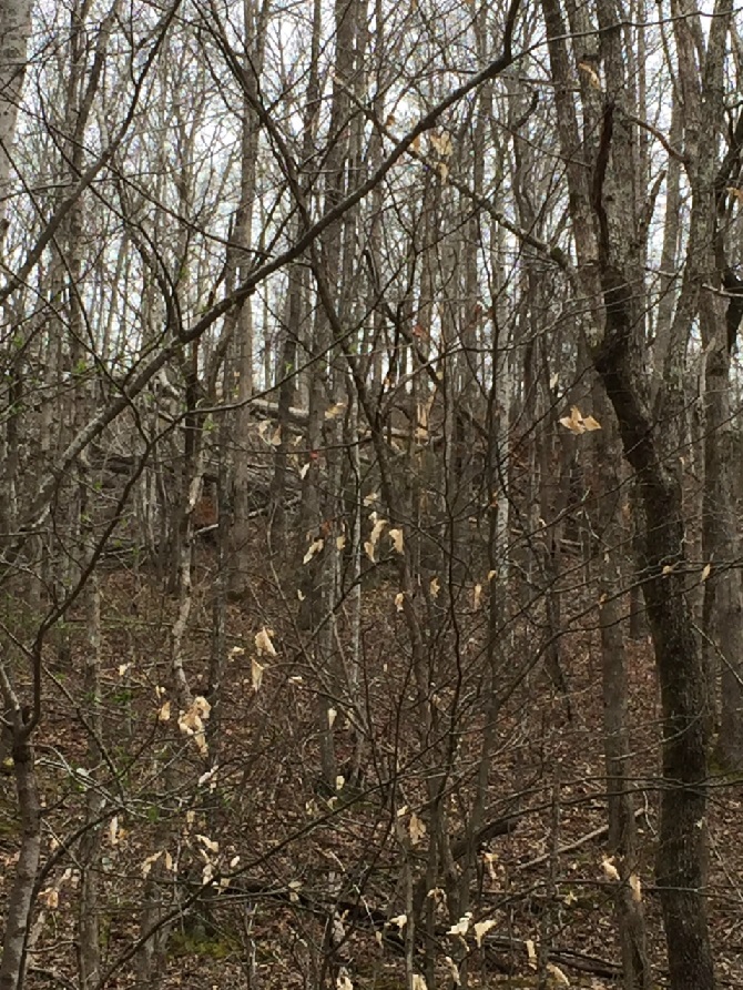 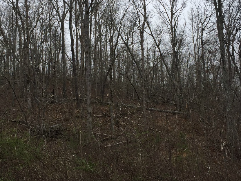 |
|
KOHX Reflectivity and Velocity Loop: |
|
| EF0 Lewis County Tornado | |
| Counties: | Lewis |
| Time: | 445 PM - 448 PM |
| Wind Speed Estimate: | 80 MPH |
| Damage Path Length: | 1 mile |
| Damage Path Width: | 50 yards |
| Description: An EF0 tornado touched down about 4 miles northwest of Hohenwald in northwestern Lewis County. It was a rare, anticyclonic tornado (rotating clockwise). A few trees were uprooted and snapped along Darbytown Road with several large branches downed as well. Minor roof damage occurred to a barn and house along its 1 mile path. At its peak, winds were estimated at 80 mph and the path width was approximately 50 yards. |
|
Survey Photos by NWS Nashville: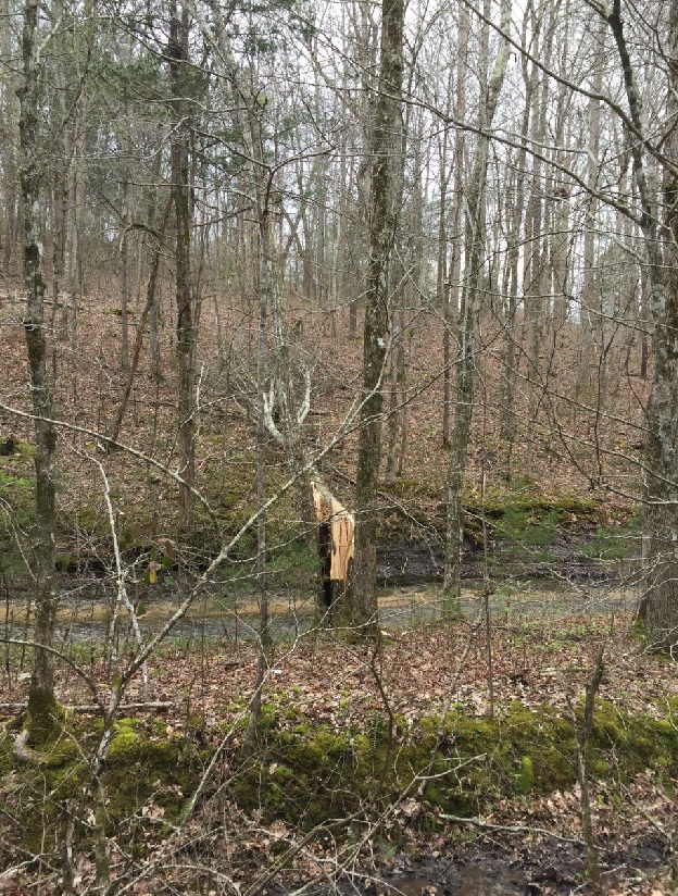 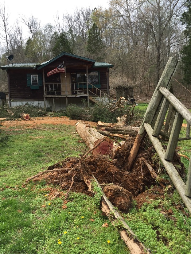 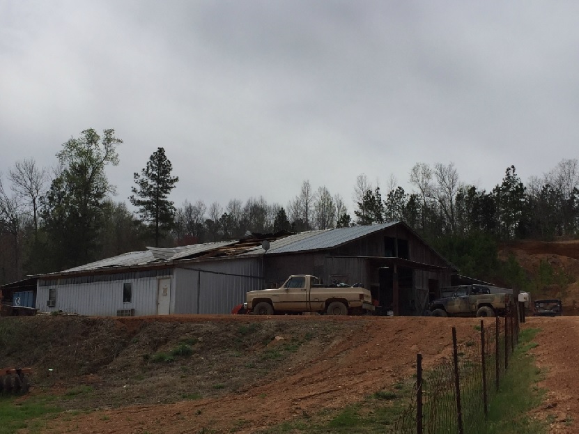 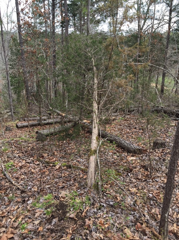 |
|
KOHX Reflectivity and Velocity Loop: |
|
| Maury County Straight-line Wind Damage | |
| Counties: | Maury |
| Time: | 518 PM |
| Wind Speed Estimate: | 80 MPH |
| Damage Path Length: | 1 mile |
| Damage Path Width: | 50 yards |
| Description: An NWS Storm Survey determined that straight line winds were the cause for damage in western Maury County. An old barn was destroyed along Cecil Farm Road along with dozens of trees uprooted or downed along Cross Bridge Road south of Highway 99, about 4 miles west of Columbia. Swath of straight line wind damage was about 1 mile long and 1/3 of a mile wide, and winds were estimated at 80 mph. |
|
Survey Photos by NWS Nashville: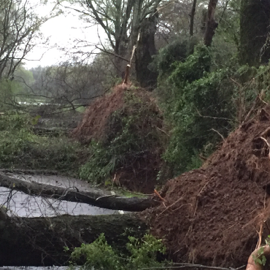 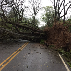  |
|

