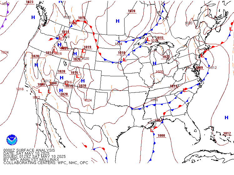
A Pacific storm will bring rain and high elevation snow from the Pacific Northwest into the Northern Rockies. A series of storms are expected to move through the Bering Sea bringing strong winds, heavy precipitation, and elevated water levels from the West Coast to northern Alaska. Read More >
Jacksonville CWSU
Center Weather Service Unit

US Dept of Commerce
National Oceanic and Atmospheric Administration
National Weather Service
Jacksonville CWSU
37075 Aviation LN
Hilliard, FL 32046
Comments? Questions? Please Contact Us.