
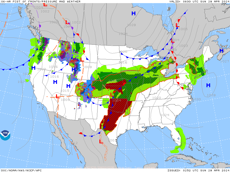
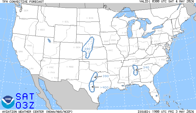
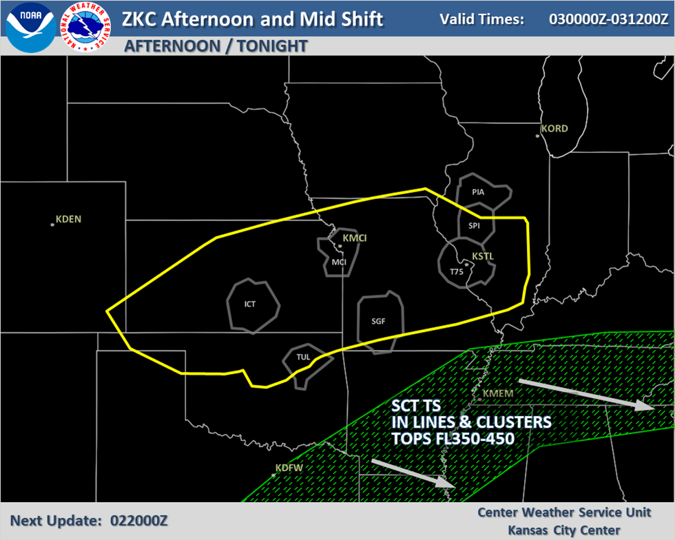
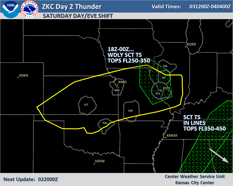
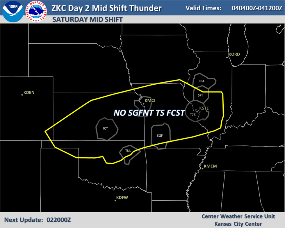
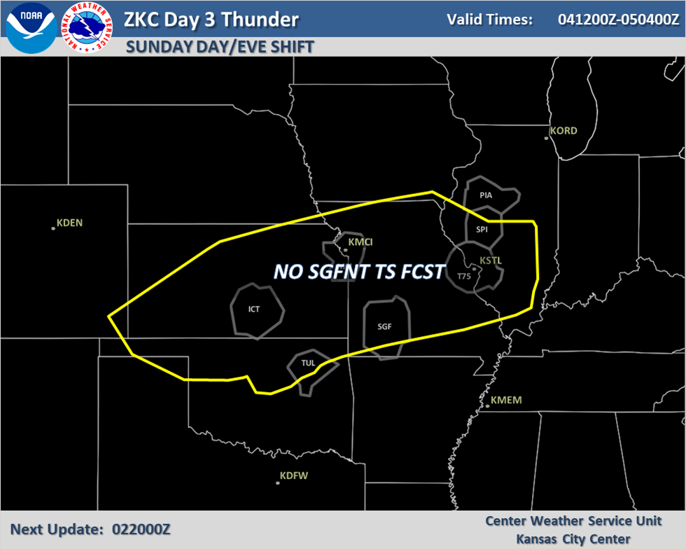
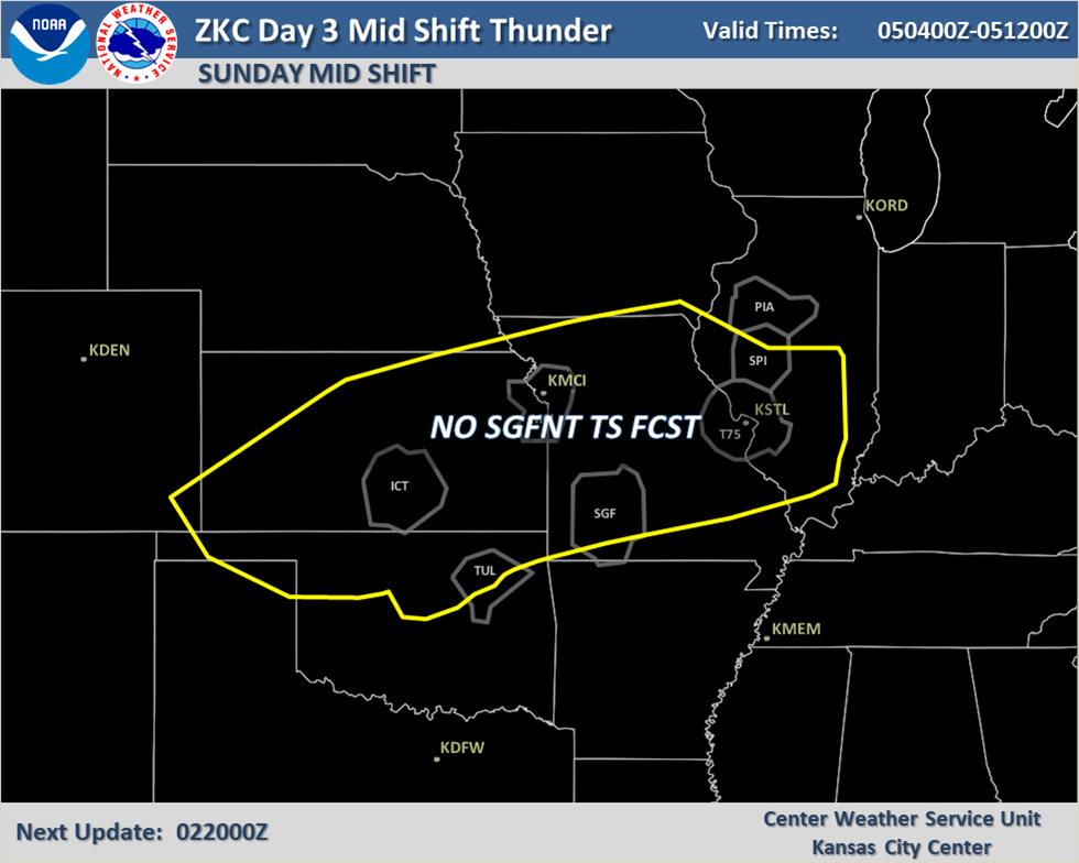
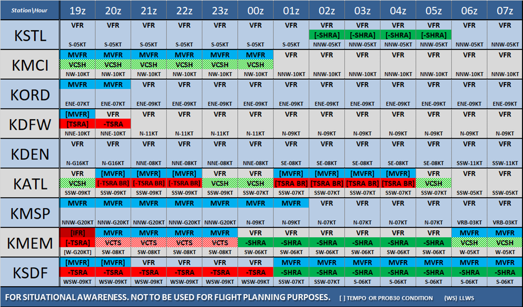
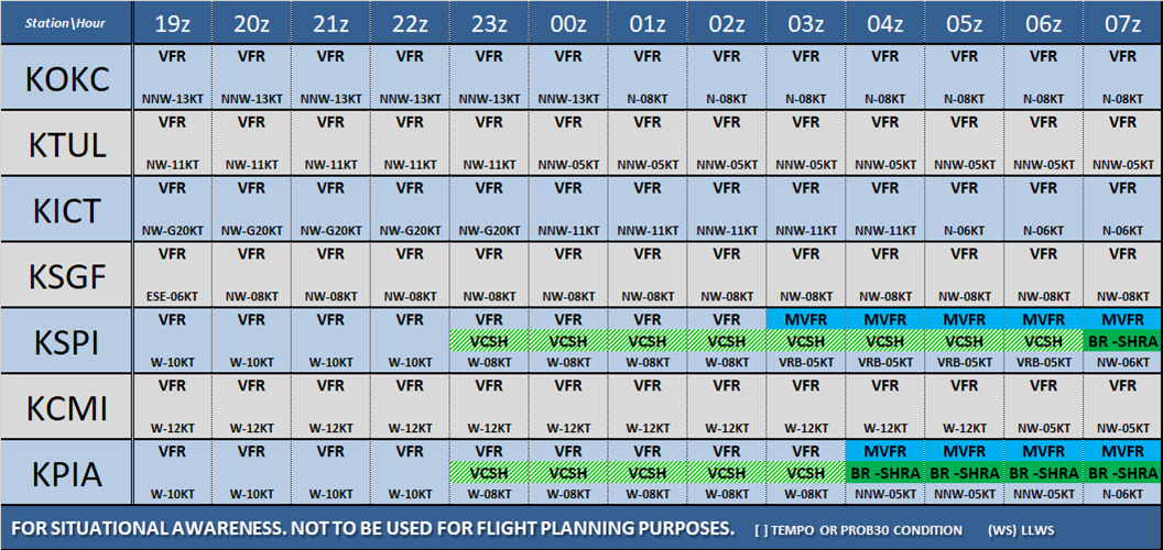
Severe thunderstorms today may produce damaging winds, large hail, tornadoes, and flooding over parts of the Plains into the Missouri Valley. On Sunday, scattered severe thunderstorms capable of damaging wind gusts are expected across the Mid-Atlantic vicinity. Hazardous heat will continue in the South, Southwest and central California this weekend building across the Pacific Northwest Sunday. Read More >
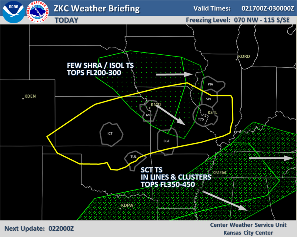
Kansas City CWSU
Center Weather Service Unit
Forecasts
GFS LAMP
Aviation Discussions
AWC NCWF
Get Wind Profile
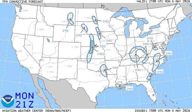
AWC TCF
Get Any TAF
Local Forecast Graph
Observations
Obs Information
Turb Analysis
FAA RVR Data
Icing Analysis
Select a Radar
METAR Plot Map
Local Radar
National Radar
PIREP Plot Map
Important Links
AWC Home Page
ADDS Home Page
SPC Home Page
HPC Home Page
CWSU Mobile
NWS Forecast Offices
Space Weather
NCAR/RAP
US Dept of Commerce
National Oceanic and Atmospheric Administration
National Weather Service
Kansas City CWSU
250 South Rogers Road
Olathe, KS 66062-1689
Comments? Questions? Please Contact Us.


