
An Enhanced Risk (Level 3 of 5) for scattered severe thunderstorms has been outlooked across the Ohio Valley today. Tornadoes, hail, and damaging winds possible. Farther west on the back side of the storm system driving the severe thunderstorms, strong winds and critical fire weather will affect the High Plains and parts of the Rockies through midweek, along with heavy snow in the high Rockies. Read More >
Memphis
Center Weather Service Unit
| Hover over or click station to get METAR and TAF (if available). | Flight Categories: |
 |
 |
|
 |
 |
 |
|
|
|
|
|
|
|


 Weather Briefing
 Radar Mosaic
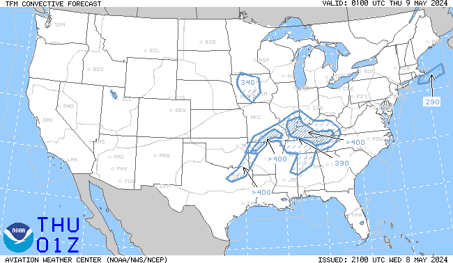 TCF Convective Forecast
 Sigmets and CWAs
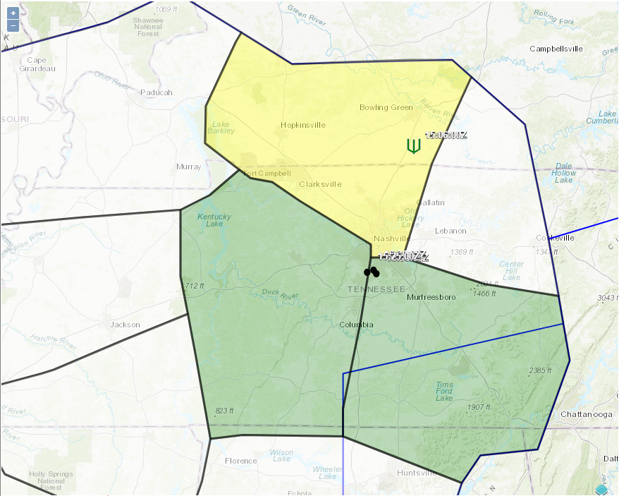 Area Hazard Pages
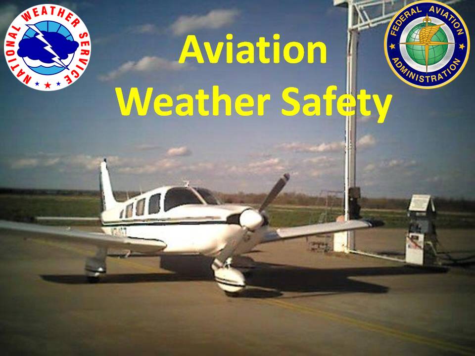 Aviation Safety