|
Event Summary
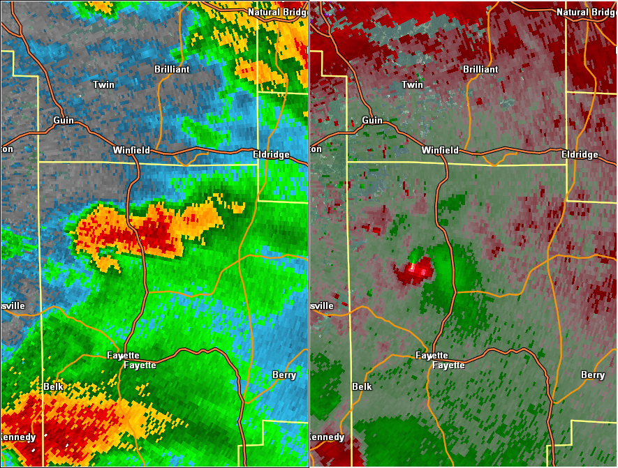
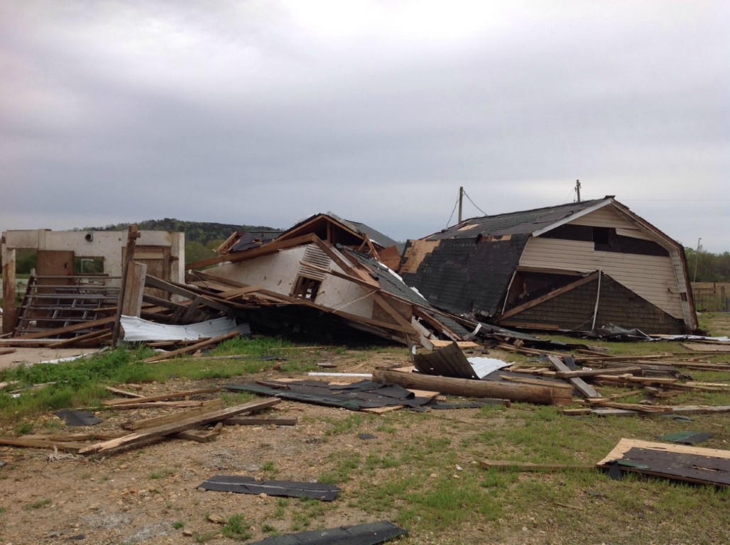
National Weather Service meteorologists surveyed damage in northwest Fayette County near Bluff and determined that the damage was consistent with an EF-1 tornado. Maximum winds were estimated to be around 105 mph.
The tornado touched down near the intersection of County Road 51 and Turner Road. The tornado traveled northward along County Road 51 for about one mile uprooting and snapping trees, and then it damaged several wood frame barns and outbuildings. The tornado appeared to weaken and only produced minor tree damage as it crossed Turkey Creek and Kirkland Road. It continued north-northeast producing mainly tree damage before dissipating along County Road 21, about one-half mile south of County Road 42.
|


 Follow us on YouTube