Summary Statistics for WFO Huntsville:
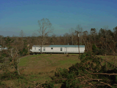
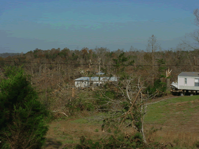
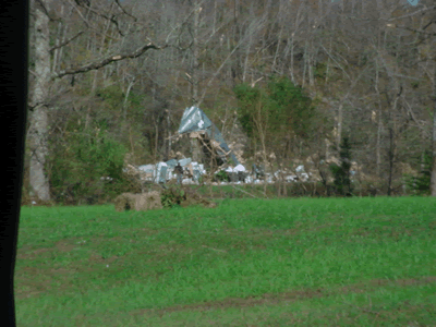
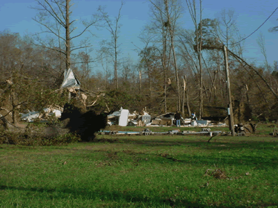
- 1 EF3 Tornado
- Hail Reports - 4 (0.75 inches in diameter)
- Wind Damage Reports - 4
|
Summary Statistics for AL:
- 8 Tornadoes (2F3's,2 F2's, 4 F1's)
- Wind Damage Reports - 9
- Hail Reports - 12
Hail Size (Inches in Diameter)
- 0.75" - 8
- 0.88" - 2
- 1.00" - 2
|
Summary Statistics for TN:
- 15 Tornadoes (2 F3's, 4 F2's, 5 F1's, 4 F0's)
- Wind Damage Reports - 72
- Hail Reports - 53
Hail Size (Inches in Diameter)
- 0.75" - 19
- 0.88" - 4
- 1.00" - 14
- 1.25" - 1
- 1.75" - 13
- 2.00" - 1
- 2.75" - 1
|


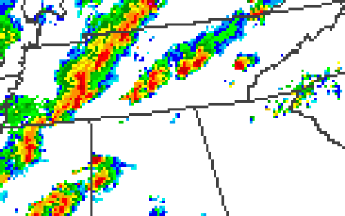
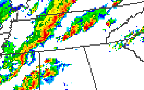
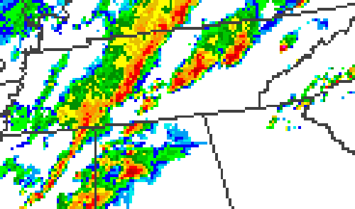
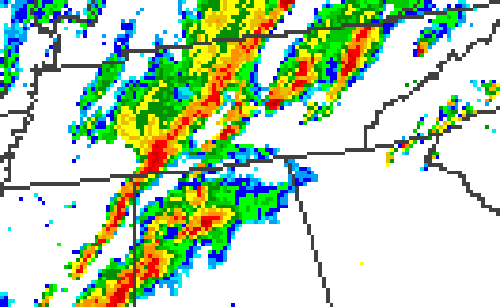


 Local Radar
 Weather Map
 Follow us on YouTube