|
Survey Summary
The National Weather Service in Huntsville and the Colbert County Emergency Management Agency conducted a storm survey this morning and early afternoon. Two storm damage areas were documented - both determined to be associated with localized microbursts.
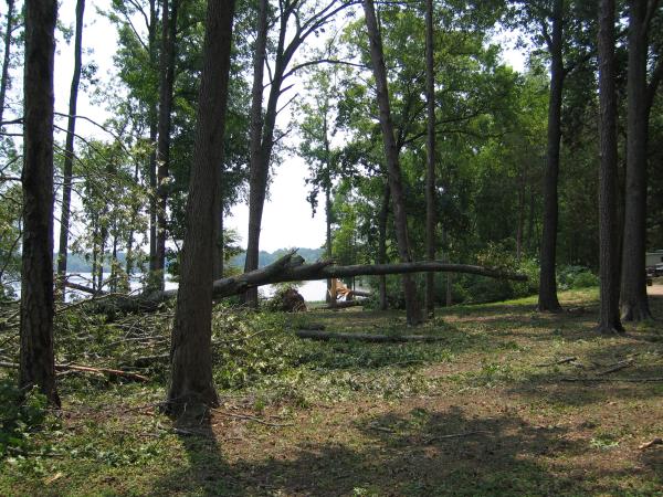
Survey #1: Bear Creek portion of Pickwick Lake
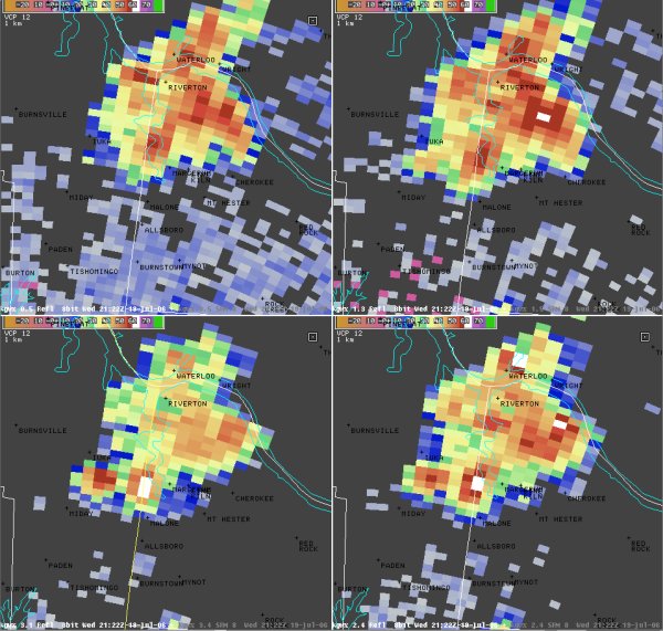
A microburst occurred at approximately 4:20 pm from a collapsing severe thunderstorm that moved northeast to southwest across the area. This storm produced localized winds up to 80 mph along the western and southern shore lines of the lake. This blew down or snapped up to 50 trees along the shoreline - most of them being tall oak, pine, and maple. Based upon the positioning of the downed and snapped trees, winds from this downburst were from the northeast, right off the open fetch of Pickwick Lake. These trees were shallow rooted in wet sandy soil along the lake shore, thus making them more vulnerable to wind damage. Eyewitnesses noticed that these strong winds lasted about 2 minutes, followed by a more prolonged period of heavy downpours and lesser wind gusts. Little damage occurred to adjacent residences along the lakeside. No injuries were noted.
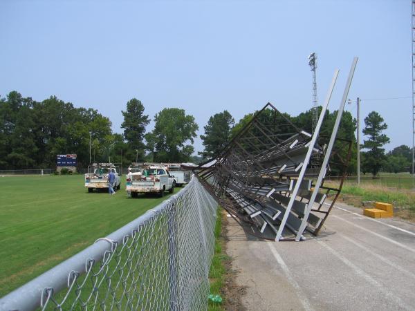
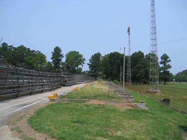
Survey #2: Cherokee
A microburst occurred at approximately 5:15 pm from a collapsing severe thunderstorm that developed just northeast of Cherokee around 5:00 pm. Estimated winds of up to 65 mph overtopped a series of west facing metal bleachers at the Cherokee High School football stadium. No one was on site during the storm. A few Bradford pear trees at the adjacent elementary school were also blown down.
|


 Local Radar
 Weather Map
 Follow us on YouTube