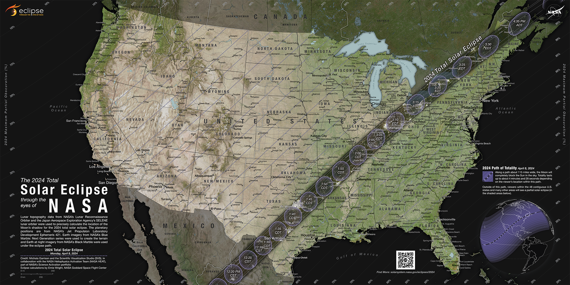
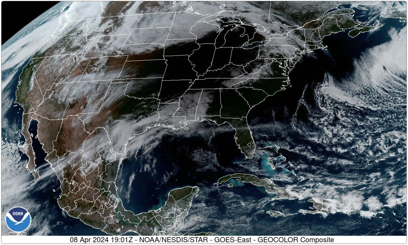
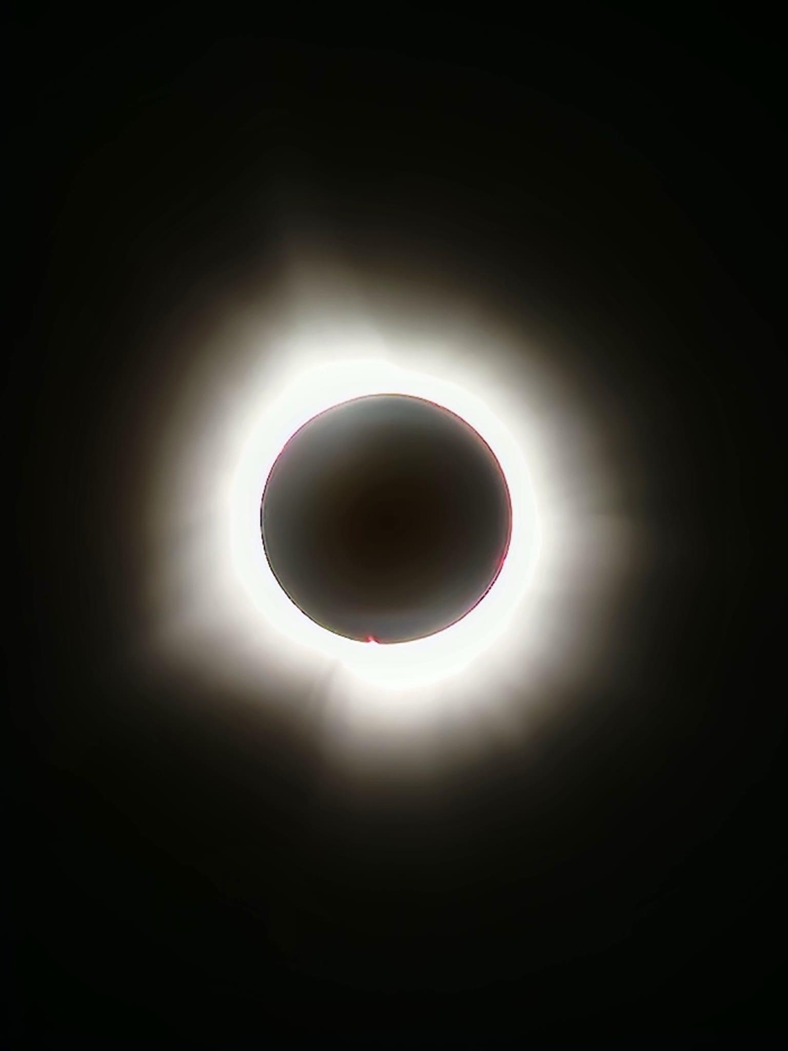
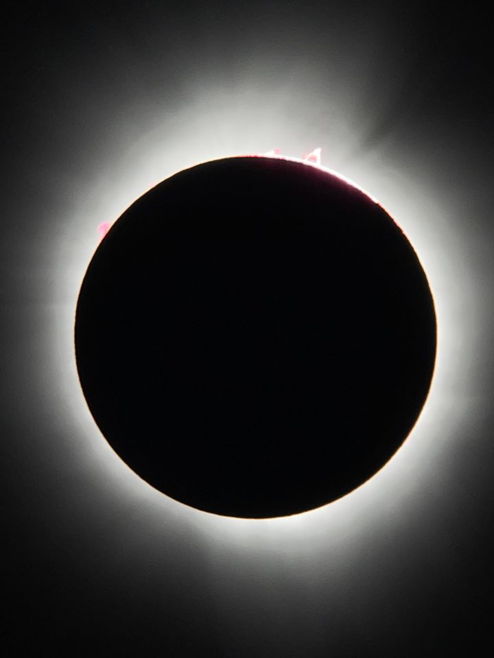
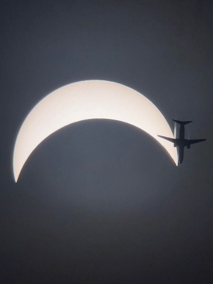
A total solar eclipse tracked northeastward across the United States on the afternoon of April 8th, passing from Texas to Maine. The path of totality crossed across much of southeast Missouri, southern Illinois, and southwest Indiana, as well as portions of western Kentucky nearest to the Ohio River. Outside of totality, the remainder of our region experienced at least 97% solar obscuration. Portions of our region were lucky enough to witness two total solar eclipses in less than 7 years. The August 2017 total eclipse criss-crossed across our area, moving east-southeast from Oregon to South Carolina.
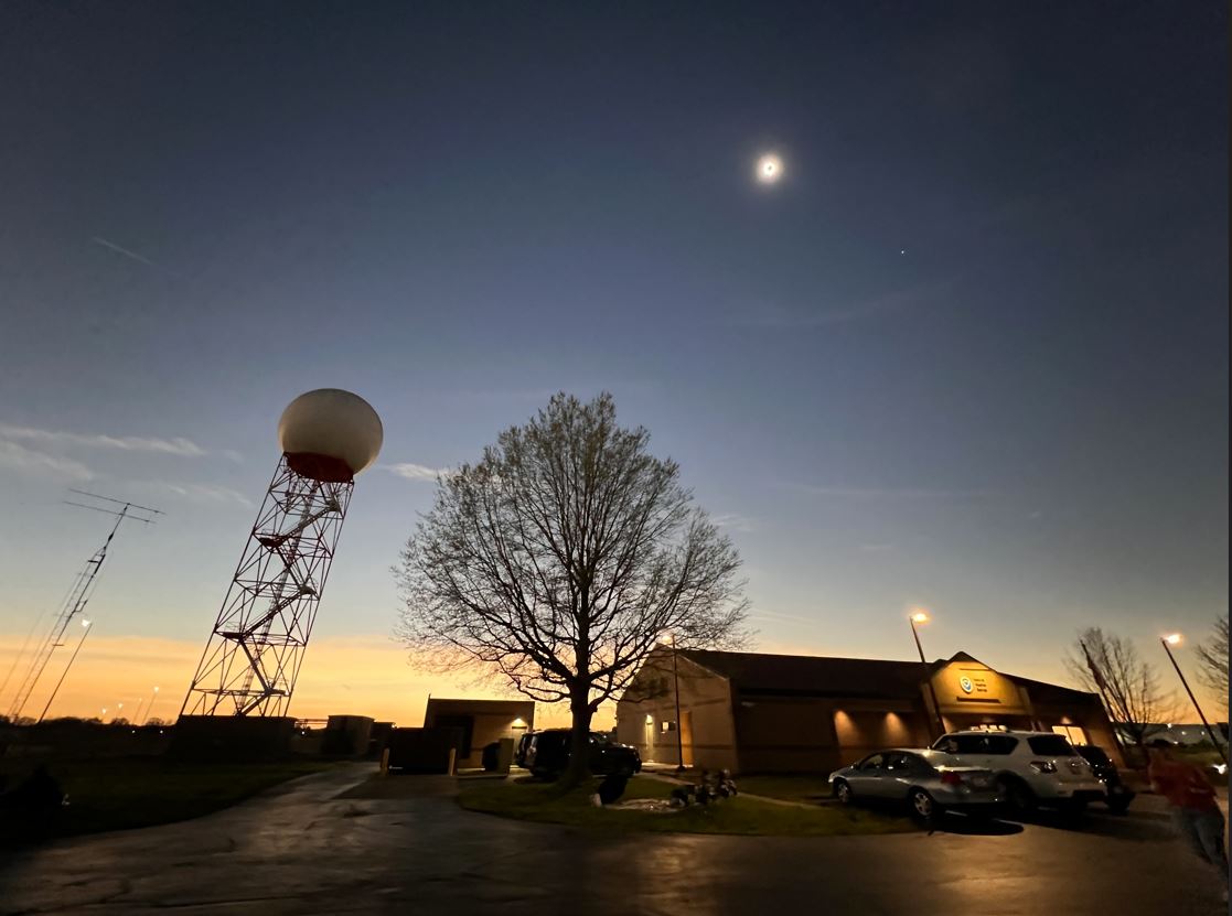
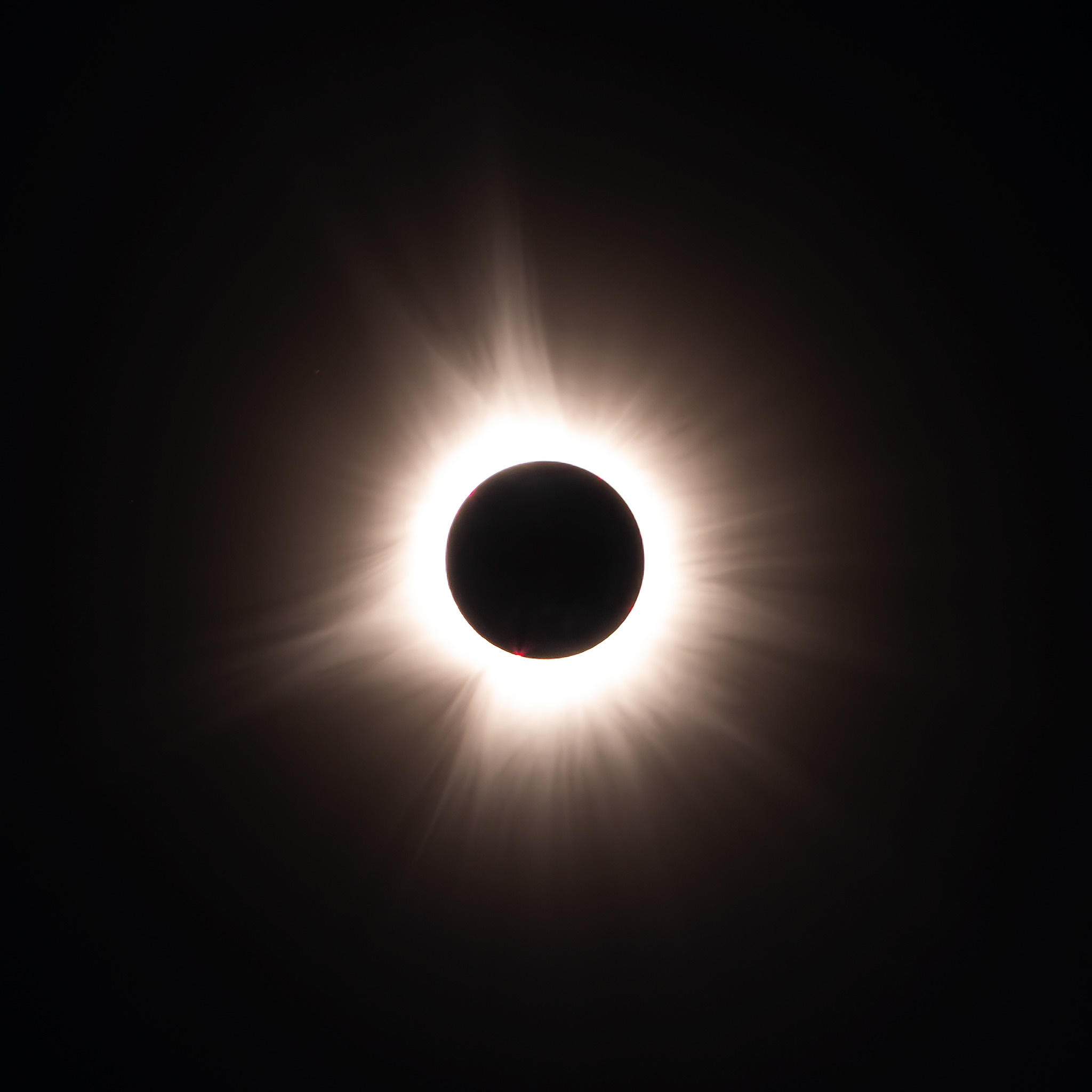
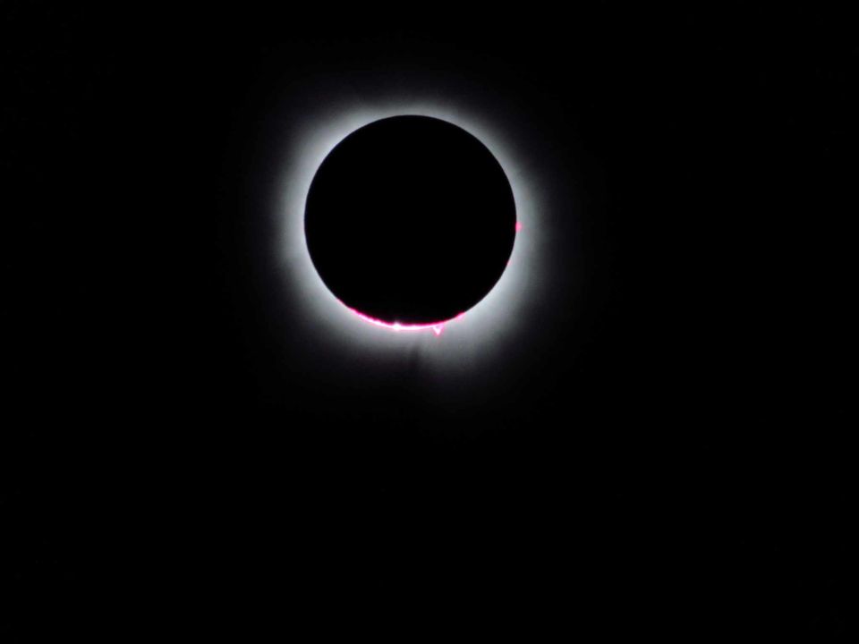
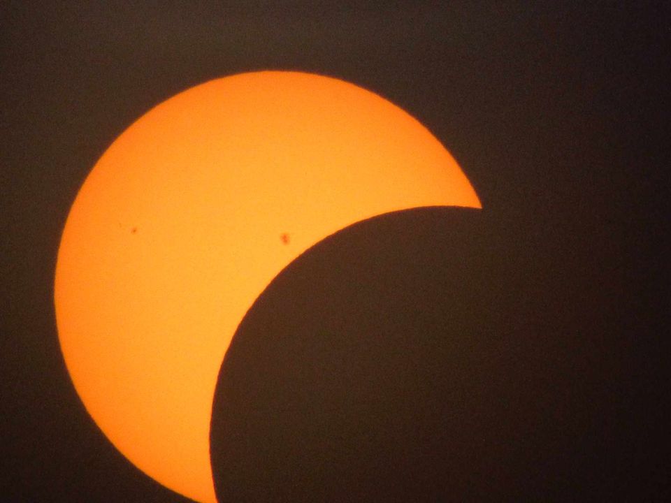
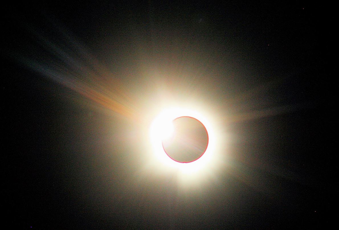
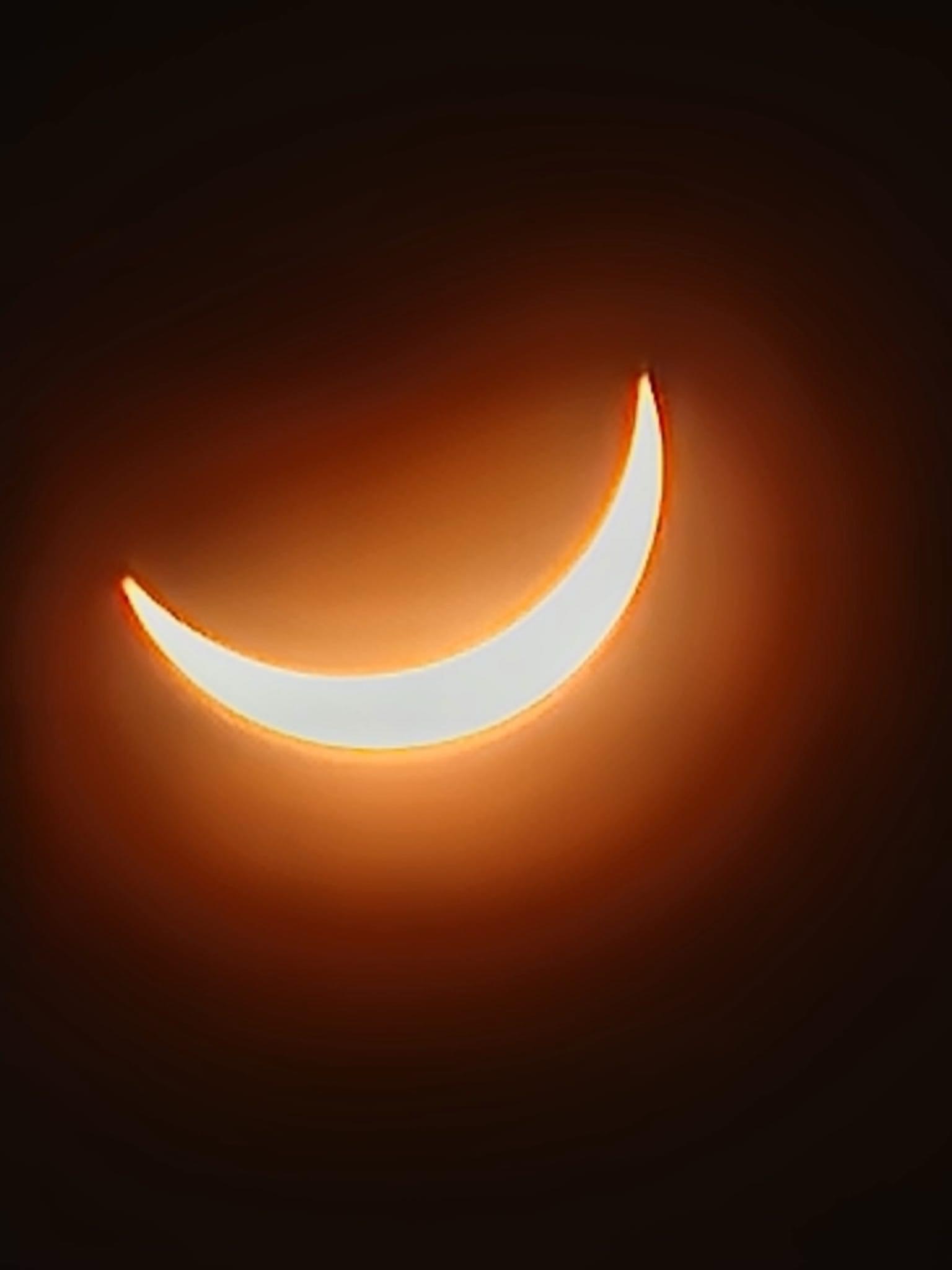
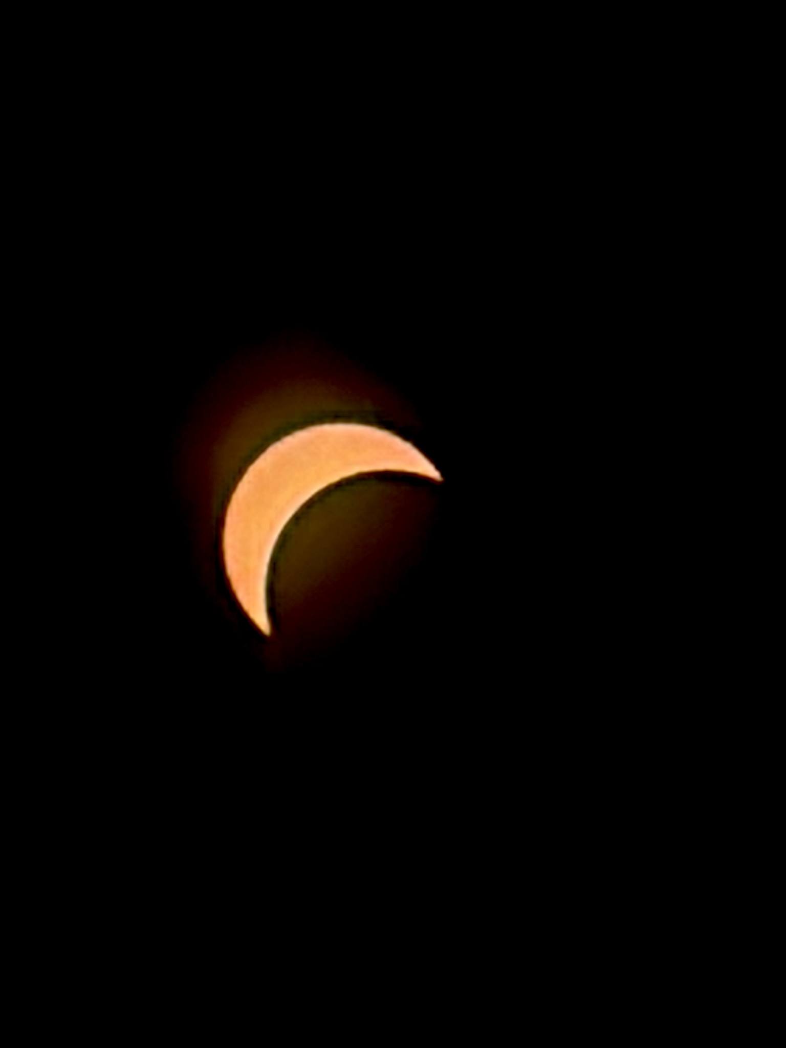
In a solar eclipse, the moon passes between the sun and earth, blocking all or part of the sun. In a total solar eclipse like this one, the sun is completely blocked, causing a period of darkness (as long as 4 minutes from Poplar Bluff to Cape Girardeau to Carbondale and Mount Carmel). In another type of solar eclipse, called an "annular" eclipse, the moon is not large enough to completely block the sun, so a ring of light is still observed around it at the peak.
| Location | Temperature Fall |
Highest Temperature (Before Eclipse) | Lowest Temperature |
| Cape Girardeau, MO | 10 | 76 | 66 |
| Carbondale, IL | 9 | 78 | 69 |
| Carmi, IL | 10 | 76 | 66 |
| Evansville, IN | 7 | 75 | 68 |
| Madisonville, KY | 5 | 76 | 71 |
| Mount Carmel, IL | 5 | 76 | 71 |
| Mount Vernon, IL | 11 | 77 | 66 |
| Owensboro, KY | 5 | 75 | 70 |
| Paducah, KY | 6 | 77 | 71 |
| Perryville, MO | 8 | 77 | 69 |
| Poplar Bluff, MO | 8 | 79 | 71 |
 |
 |
 |
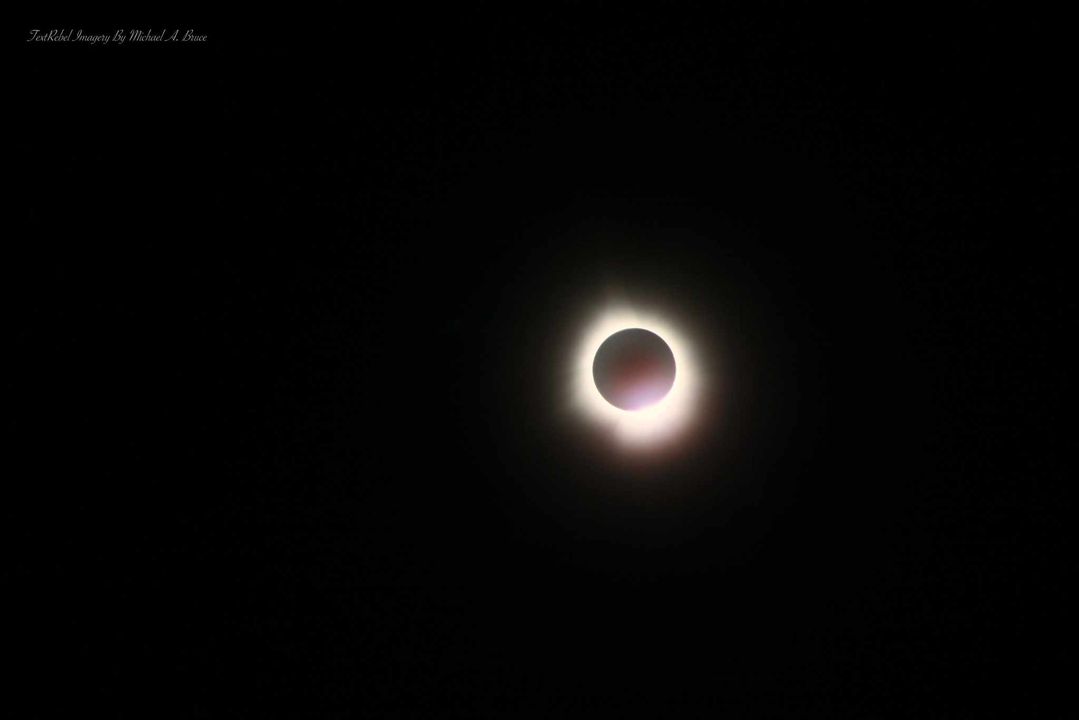 |
| NWS Paducah - You can see Venus to the bottom right of the eclipse | Dale, IL via Mark Todd | Dale, IL via Mark Todd | Energy, IL via Michael Bruce |
 |
 |
 |
 |
| Hardin County via Chevas Walker | Hardin County via Chevas Walker | Horseshoe Lake via David Elliott | Franklin County, IL via Beth Budd de Groof |
 |
 |
 |
 |
| Franklin County, IL via Beth Budd de Groof | Keith Hertenstein | Old Shawneetown, IL via Kim Knight | Old Shawneetown, IL via Kim Knight |


 Follow us on YouTube